
Virtual Tour of Monticello Park
Below is a virtual tour of Monticello Park. All photos were taken by Bill Young unless otherwise noted.
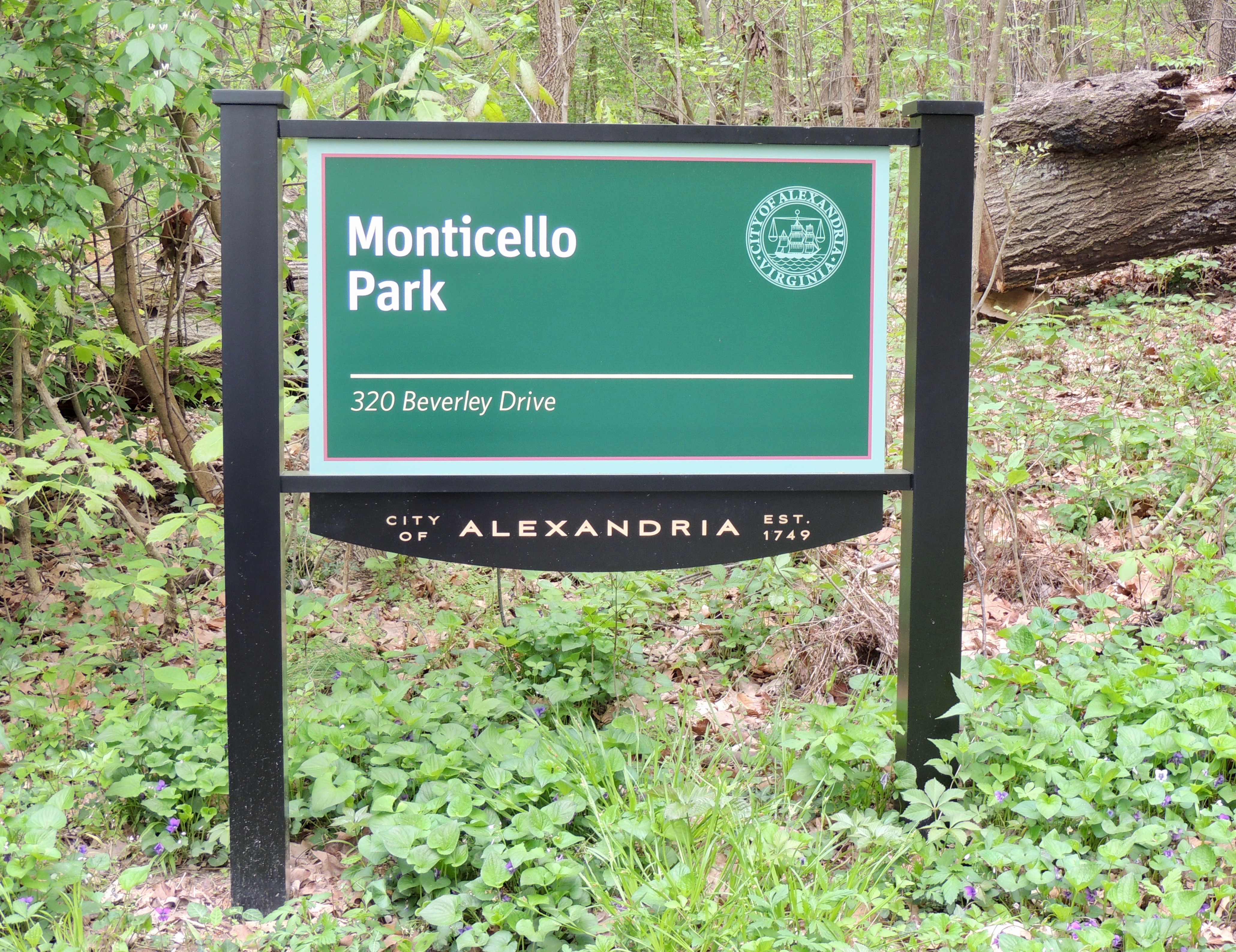
Monticello Park is located at 320 Beverley Drive in Alexandria, Virginia. The main (north) entrances are on Beverley Drive. Parking is available on both sides of Beverley Drive, except for the area near the entrances. Bicycle riding is prohibited inside the park to prevent erosion of the paths, but people are encouraged to ride bicycles to the park.
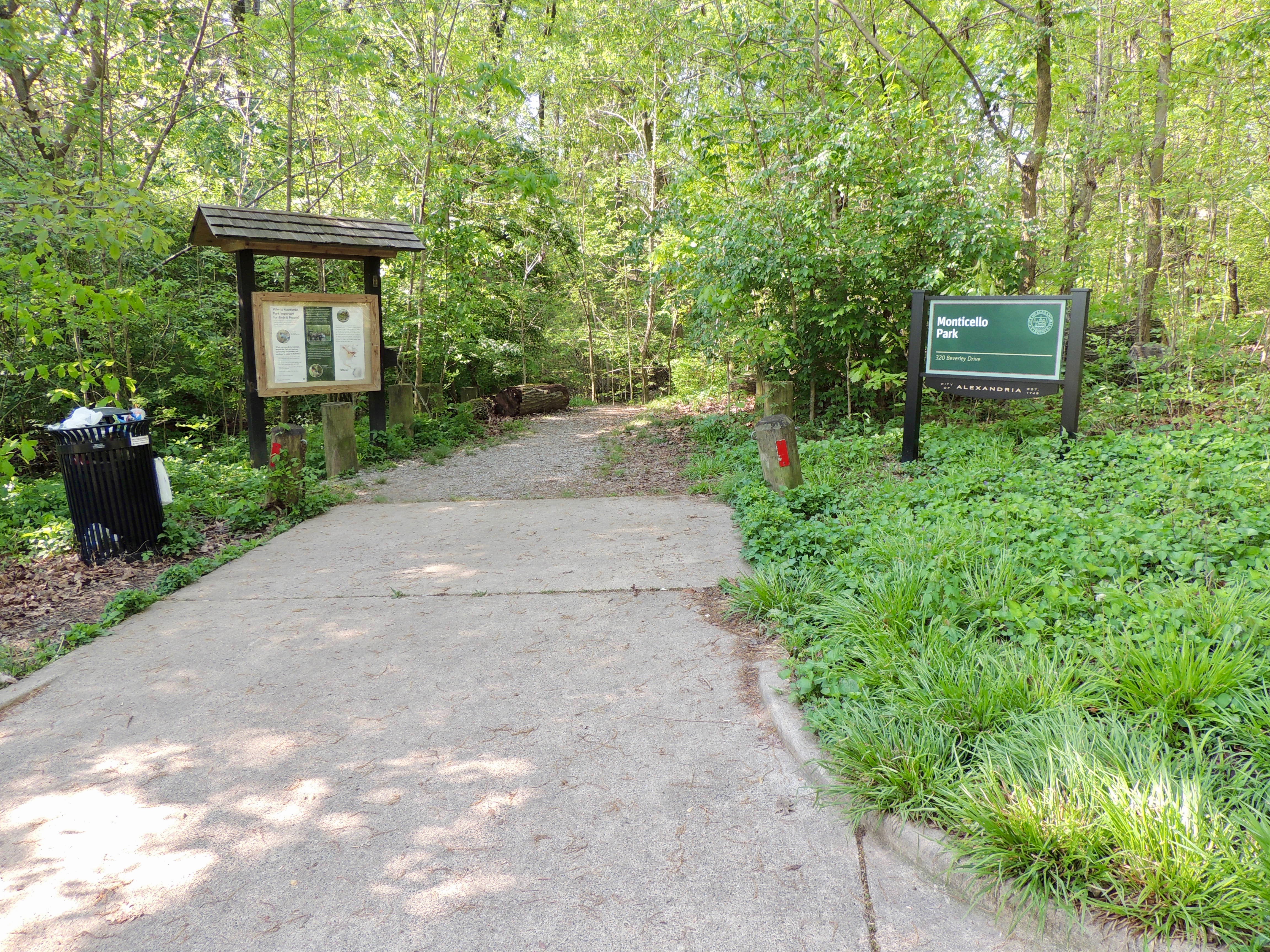
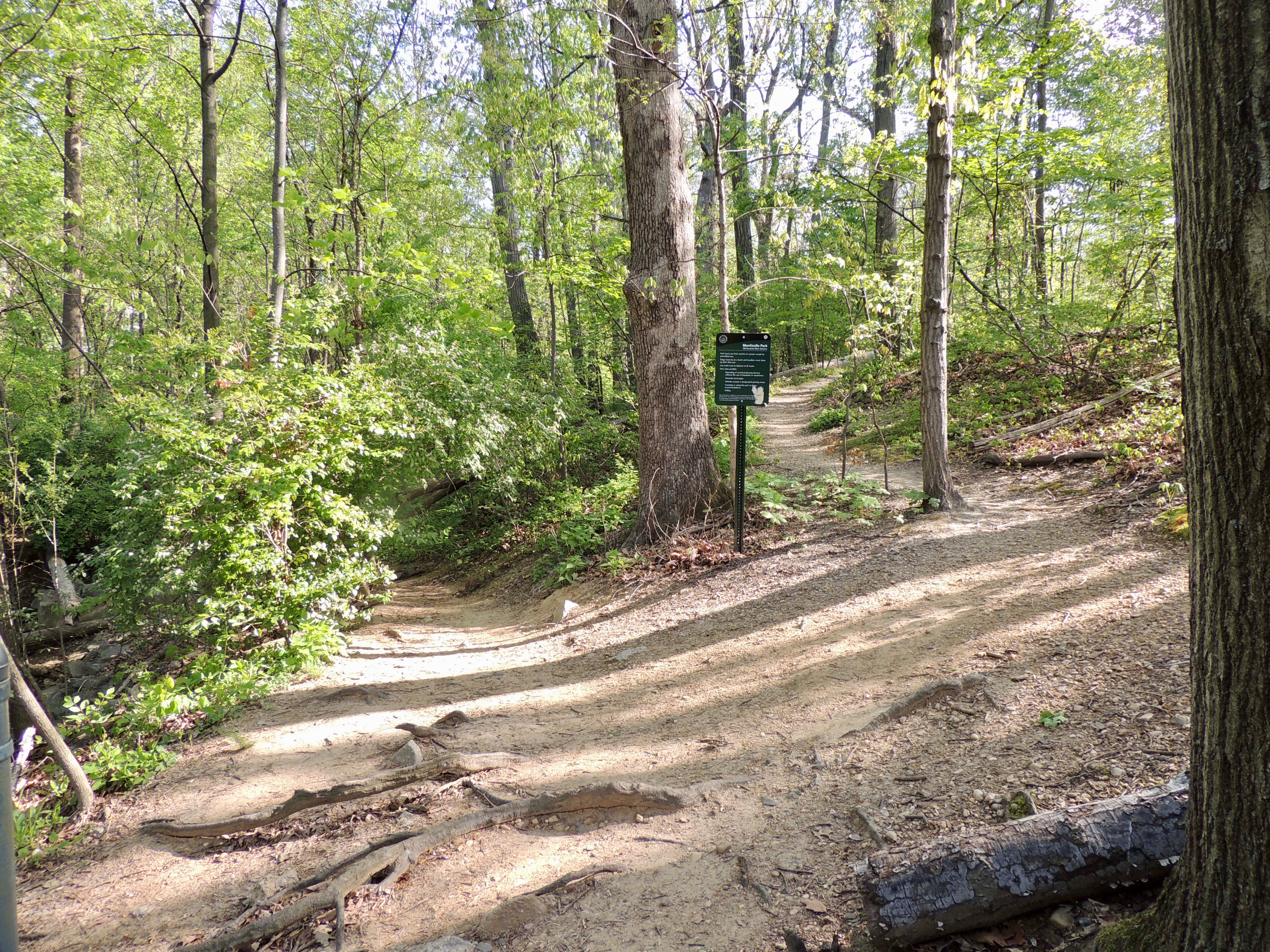
You can access the south entrance to the park between the houses at 2803 and 2807 Old Dominion Boulevard. This entry path is marked with a small sign that can be seen from the street. Parking is available on the street.
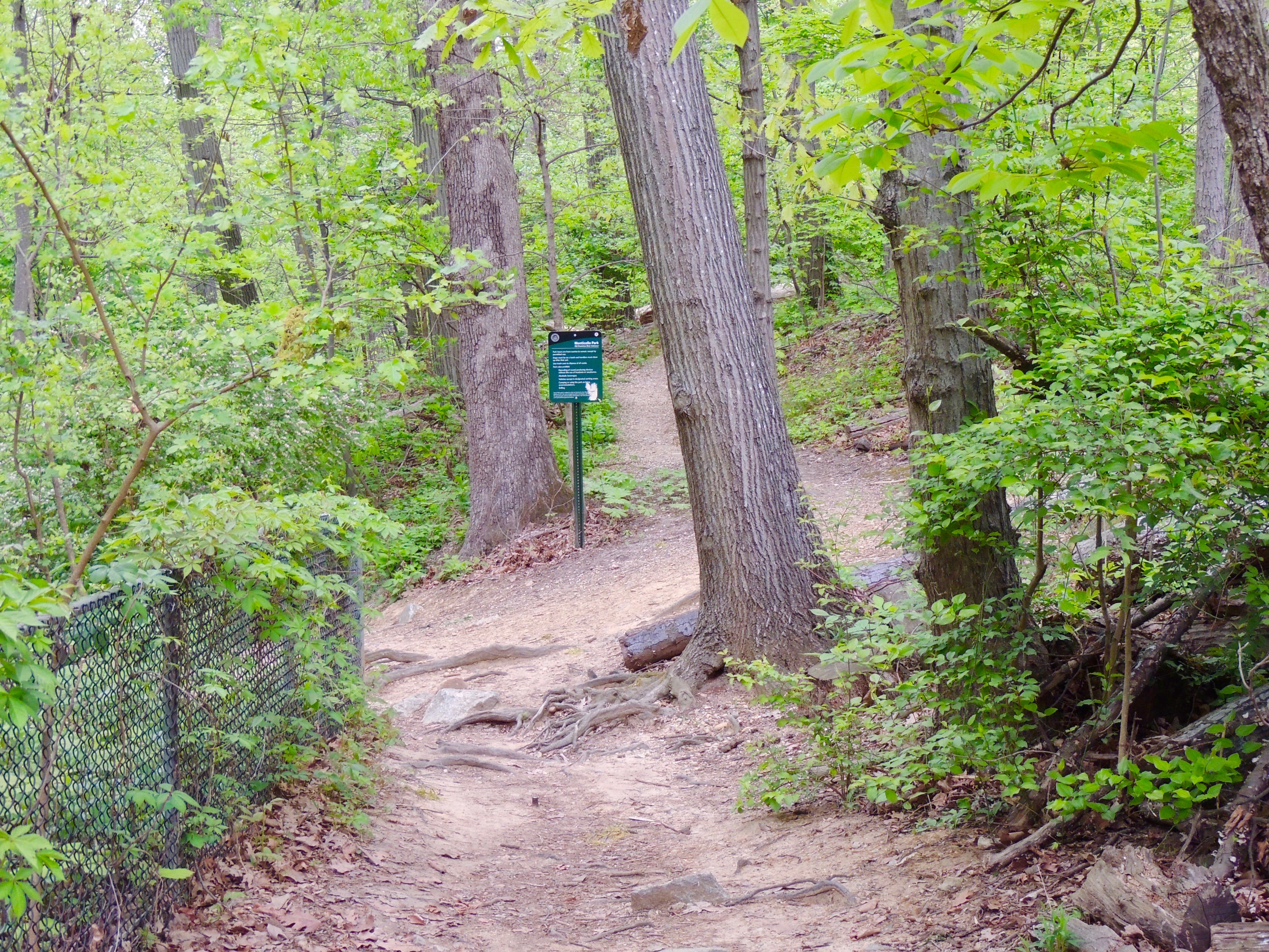
Follow the path to the right of the sign into the south end of the park.
In addition to the sign on the street, there is a sign inside the park at the Old Dominion Boulevard entrance.
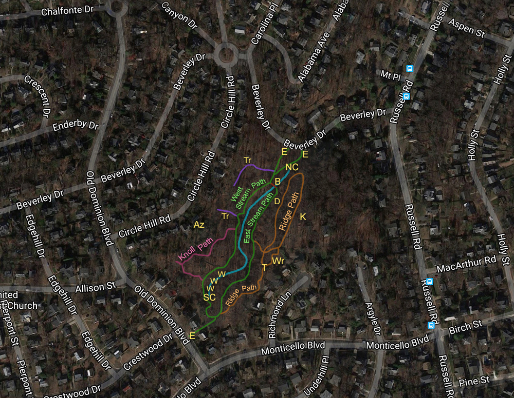
Above is a satellite map of Monticello Park so that you can familiarize yourself with the entrances, paths, trails, and some of the landmarks referred to in this virtual tour. The blue line is the stream. A list of the abbreviations is below the map.
Abbreviations
E - Entrance
B - Bridge
Az - Azalea House
D - Dog Exercise Area
K - Former Kust Property
NC- North Culvert
SC - South Culvert
T - T-Junction on Ridge Path
Tr - Trail
Wr - Wren Box House
W - Weir
Monticello Park is small, and it has no toilet facilities. It is about an eighth of a mile from one end to the other. A stream runs the entire length of the park. If the park were larger, you could say that the stream is in a "valley" between two sloped areas.
The two entrances on Beverley Drive are close to each other. One entrance has a kiosk on one side and a Monticello Park sign on the other.
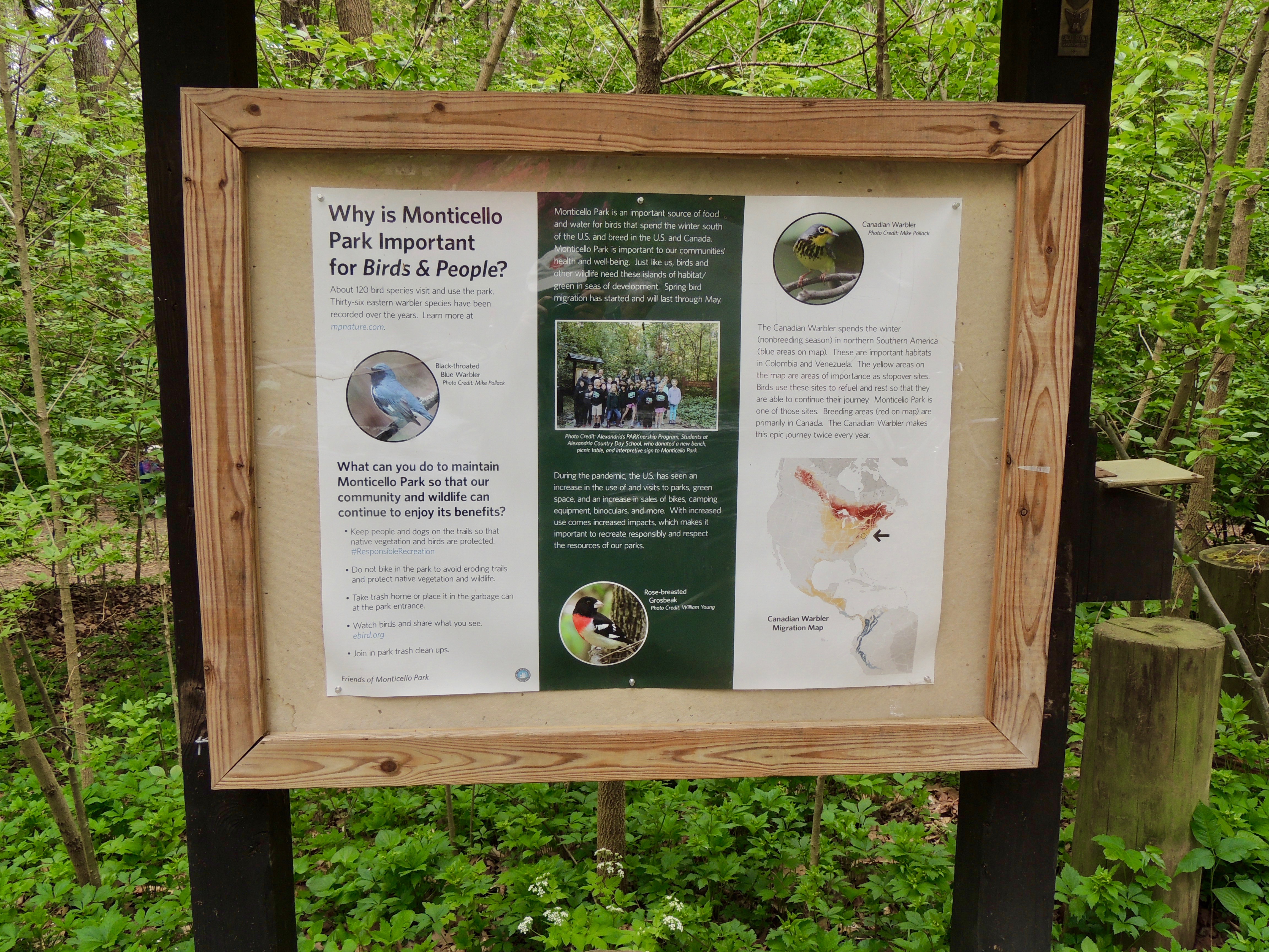
The kiosk features information about the park.
The other Beverley Drive entrance is closer to the stream.
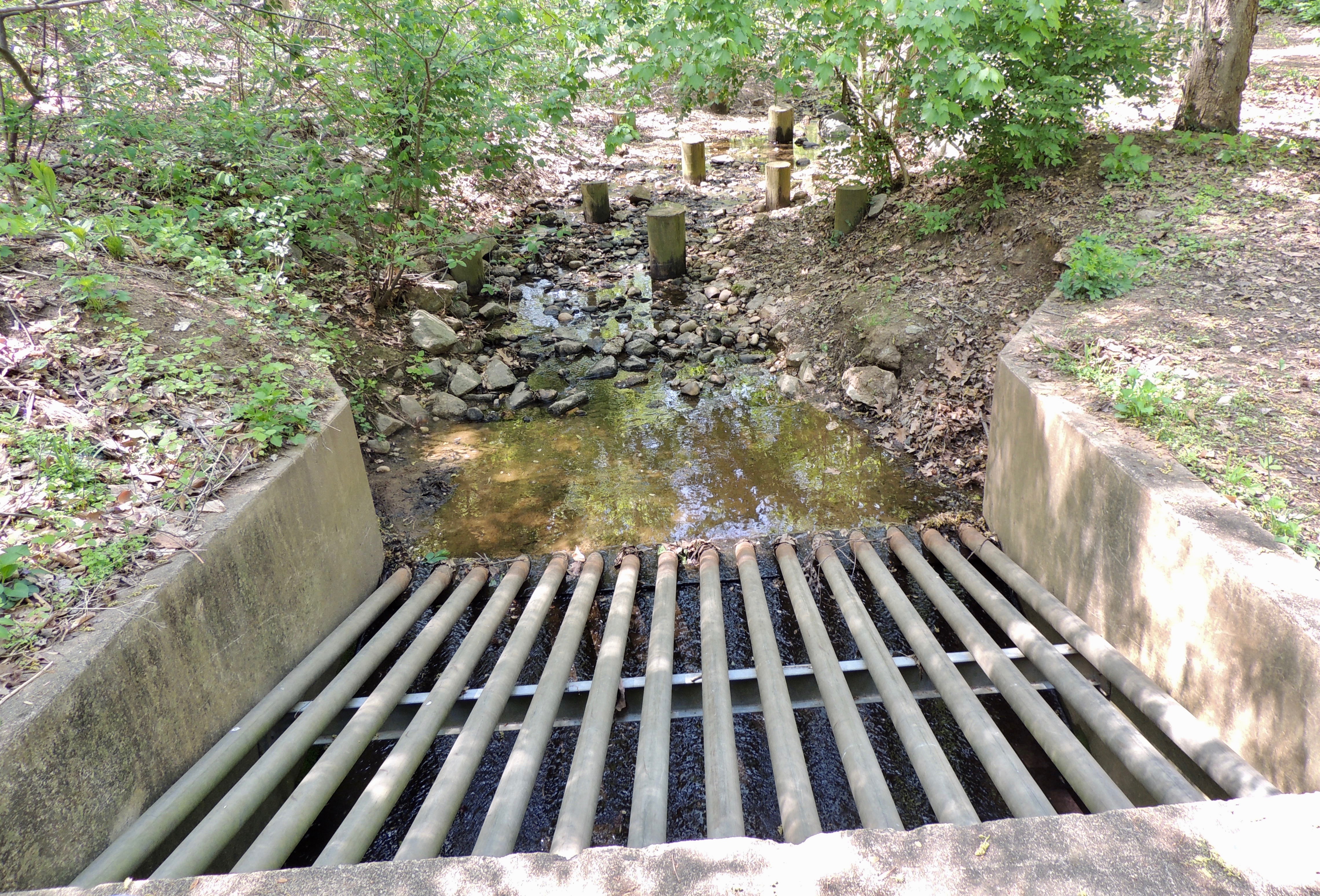
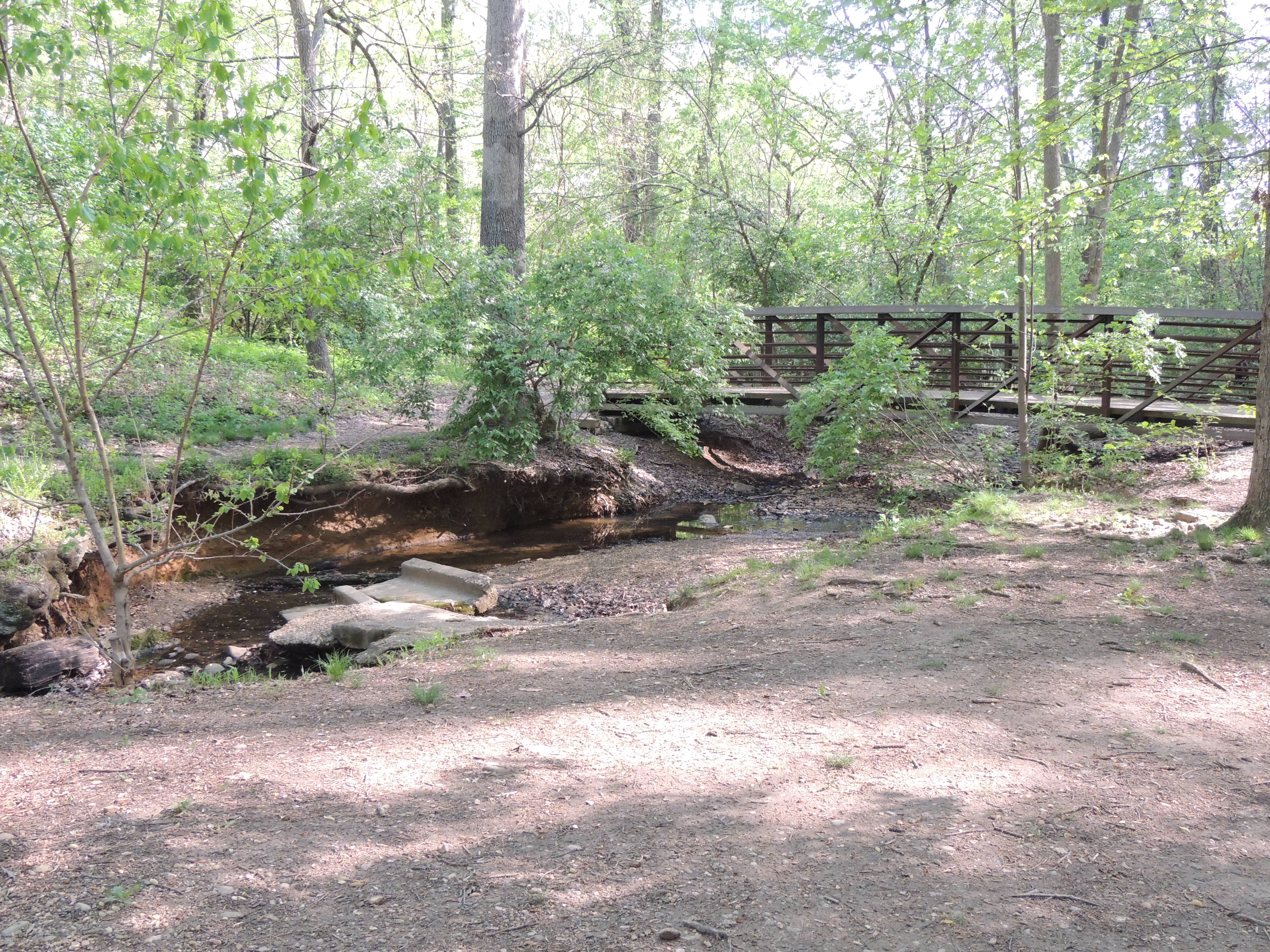
The stream empties into a culvert, which is a pipe or passageway that allows water to flow under a road or trail. Some people sit on the paved area above the culvert and watch birds bathing in the stream.
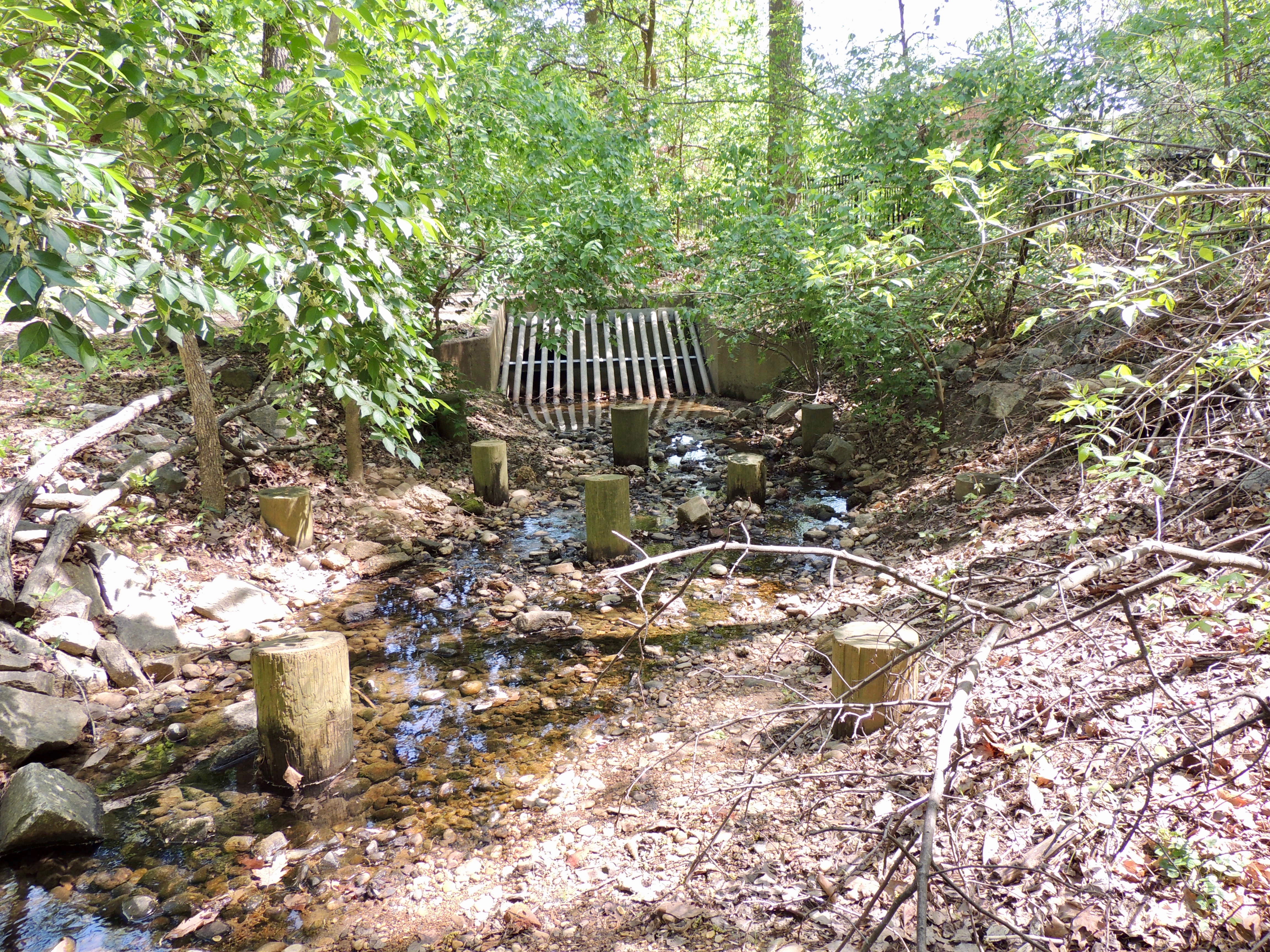
The stream sometimes is dry. When it contains water during the spring, birds often bathe in the portion that runs north from the bridge to the culvert. Birds sometimes use the "diving boards" — sticks or branches on the shore that are landing places as they prepare to enter the water. They also use the bollards (the round vertical posts) as a place to land before entering the water. Many birders stand on the path to watch birds bathing in the stream.
In the same area are portions of logs where birders can sit and watch birds bathing.
From the logs, birders can also see birds bathing in an open portion of the stream.
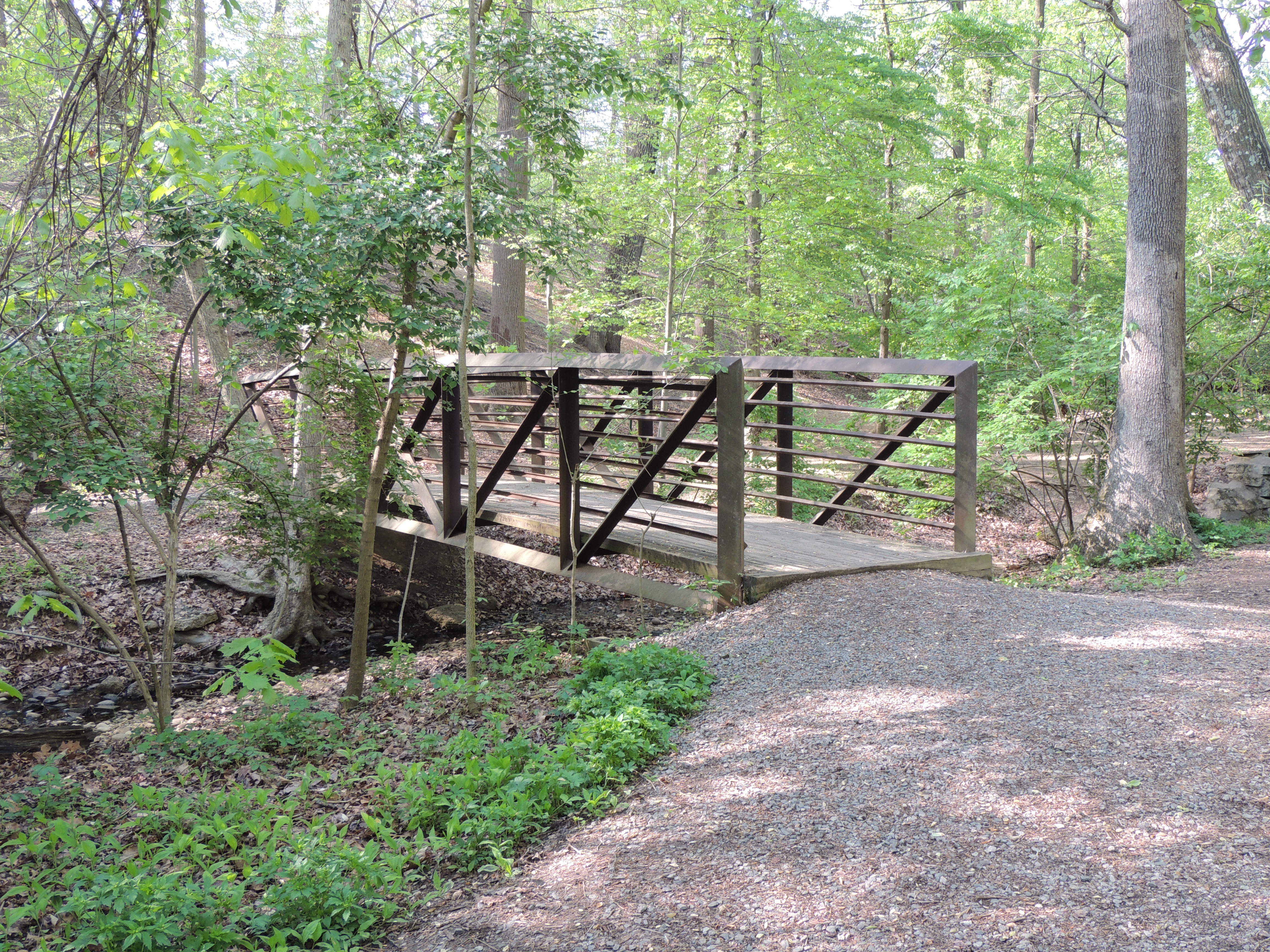
The two entry paths converge near the only bridge in the park, about 75 yards from Beverley Drive. The bridge is a popular place for birders to stand and watch bathing birds.
Birds also bathe in the stream on the south side of the bridge.
East Stream Path
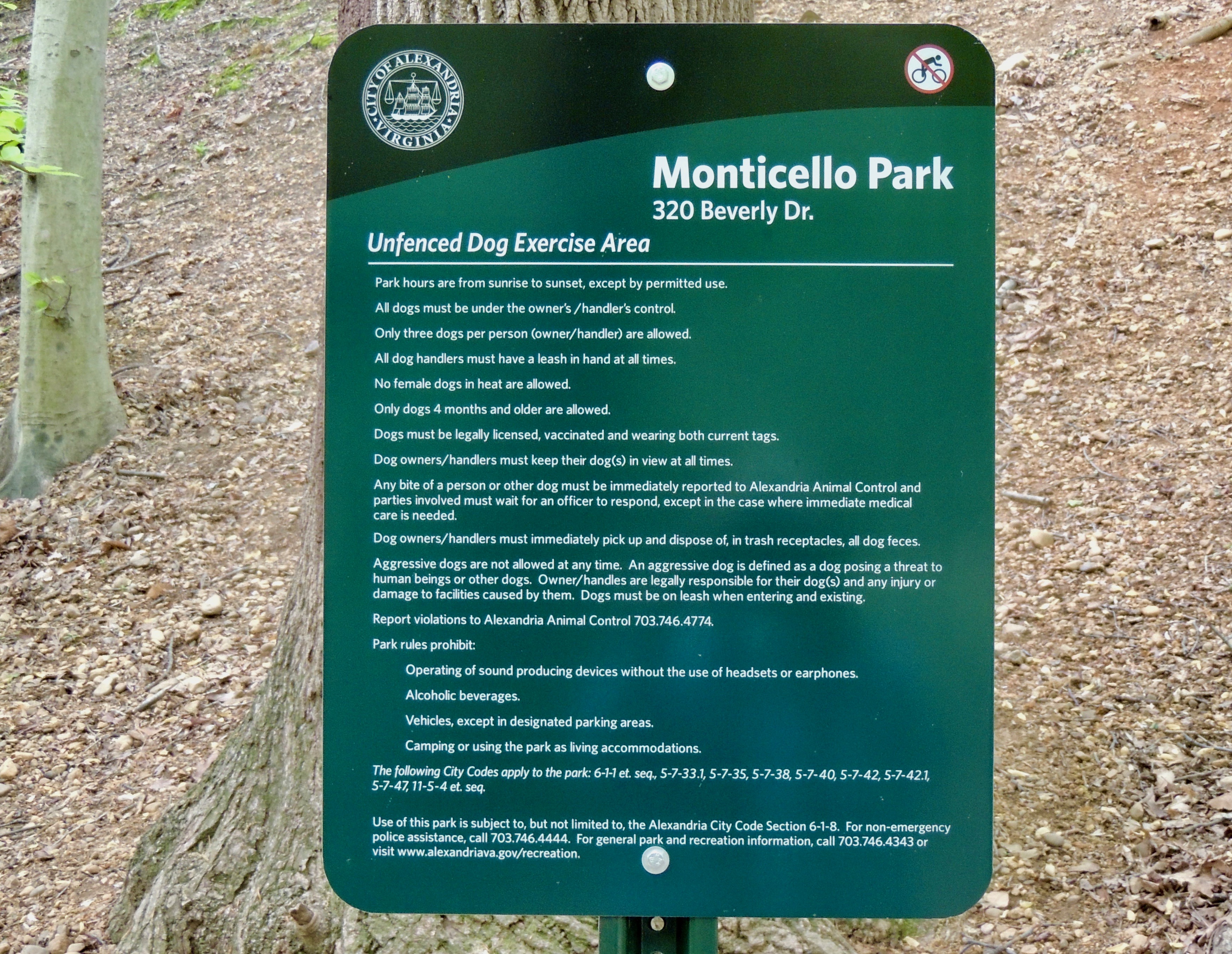
If you cross the bridge, you will be on the East Stream Path. You immediately will come to the dog exercise area. Dogs can be off leash in this area, but still must be under the control of their owners. Dogs are not allowed off leash in any other portion of the park. This it to protect other visitors to the park, dog owners, and dogs. The park has a lot of poison ivy, and dogs going off the narrow paths are extremely likely to encounter it. Dogs can get a rash if exposed to poison ivy, and in some cases, develop serious gastrointestinal problems if they consume it. Also, the poison ivy on a dog's coat can cause a severe rash for people who subsequently touch the dog — both the owner and other visitors to the park. Above are the rules for the dog exercise area as designated by the City of Alexandria.
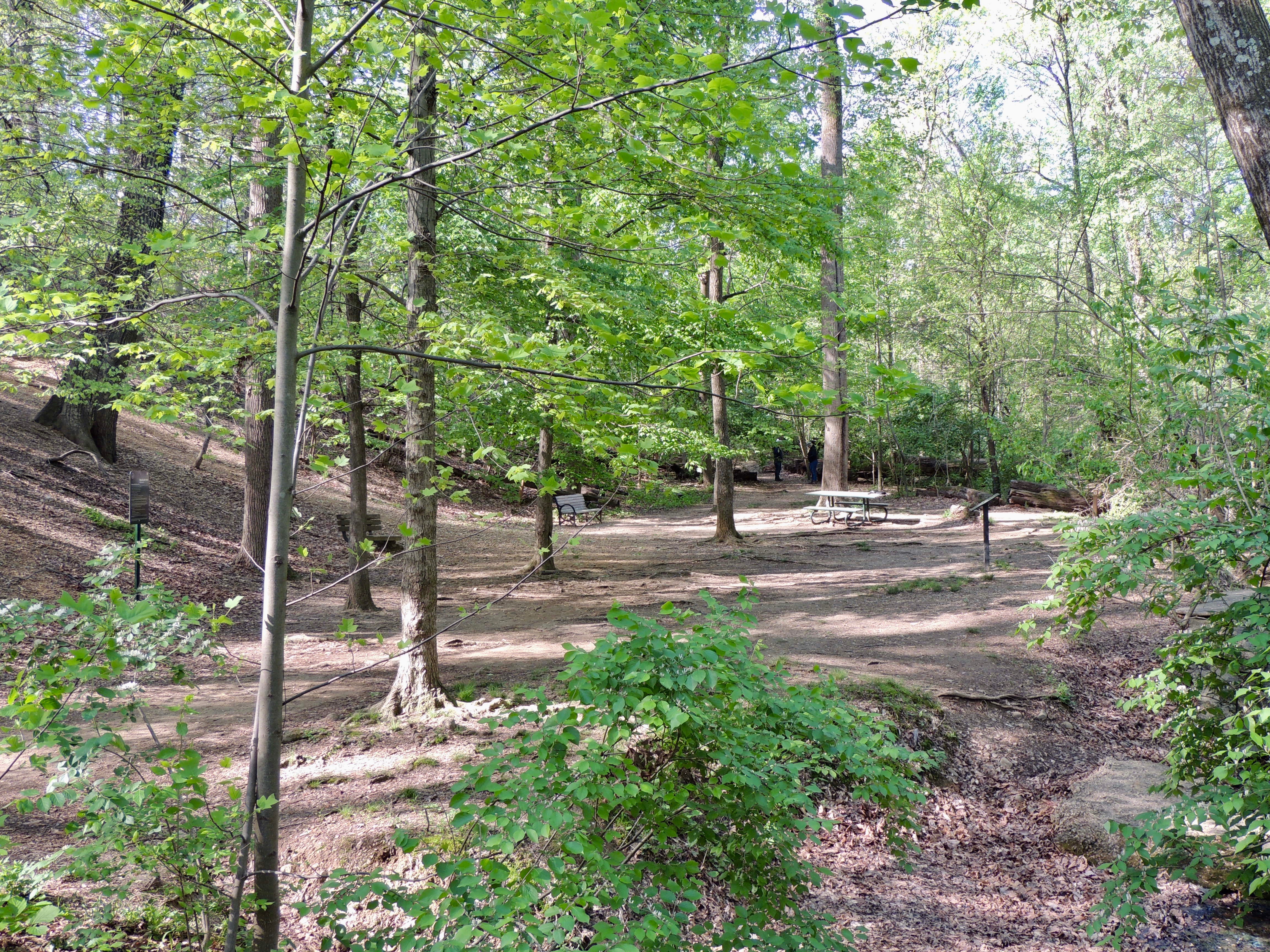
The dog exercise area contains improvements donated by students at the Alexandria Country Day School.
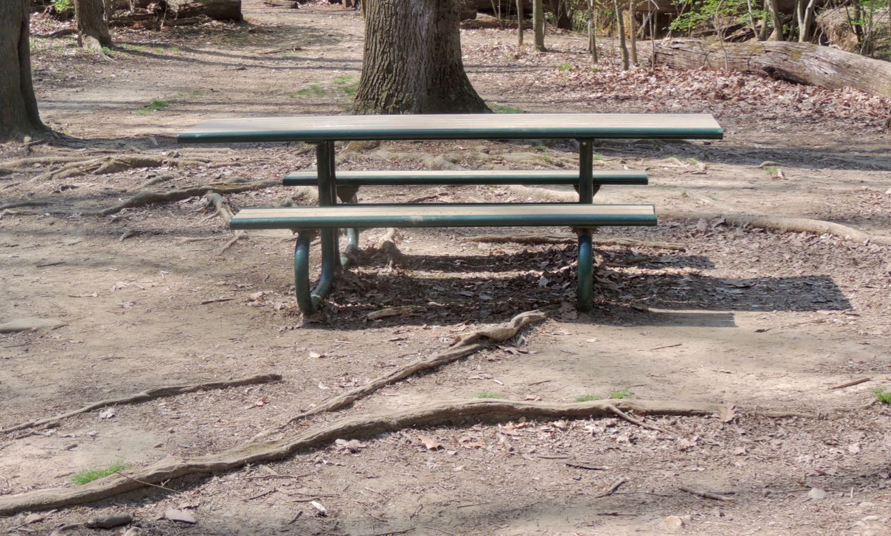
The students donated a new picnic table. Some visitors bring their lunch and eat at the park.
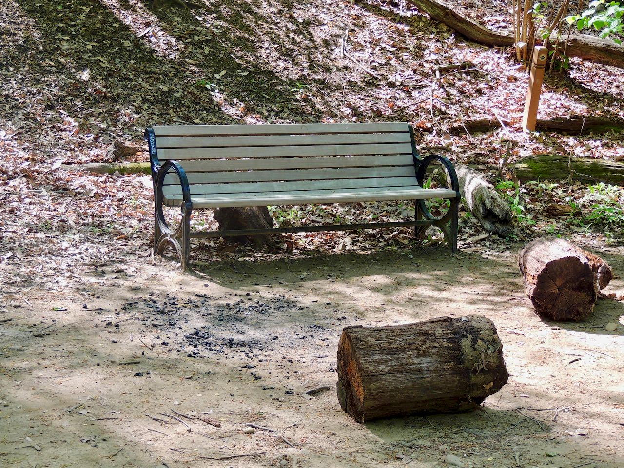
The students donated a new bench, to go along with an older bench that is nearby.
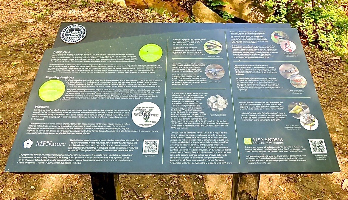
And the students donated an interpretive sign, in English and Spanish, describing the birds and other nature in the park.
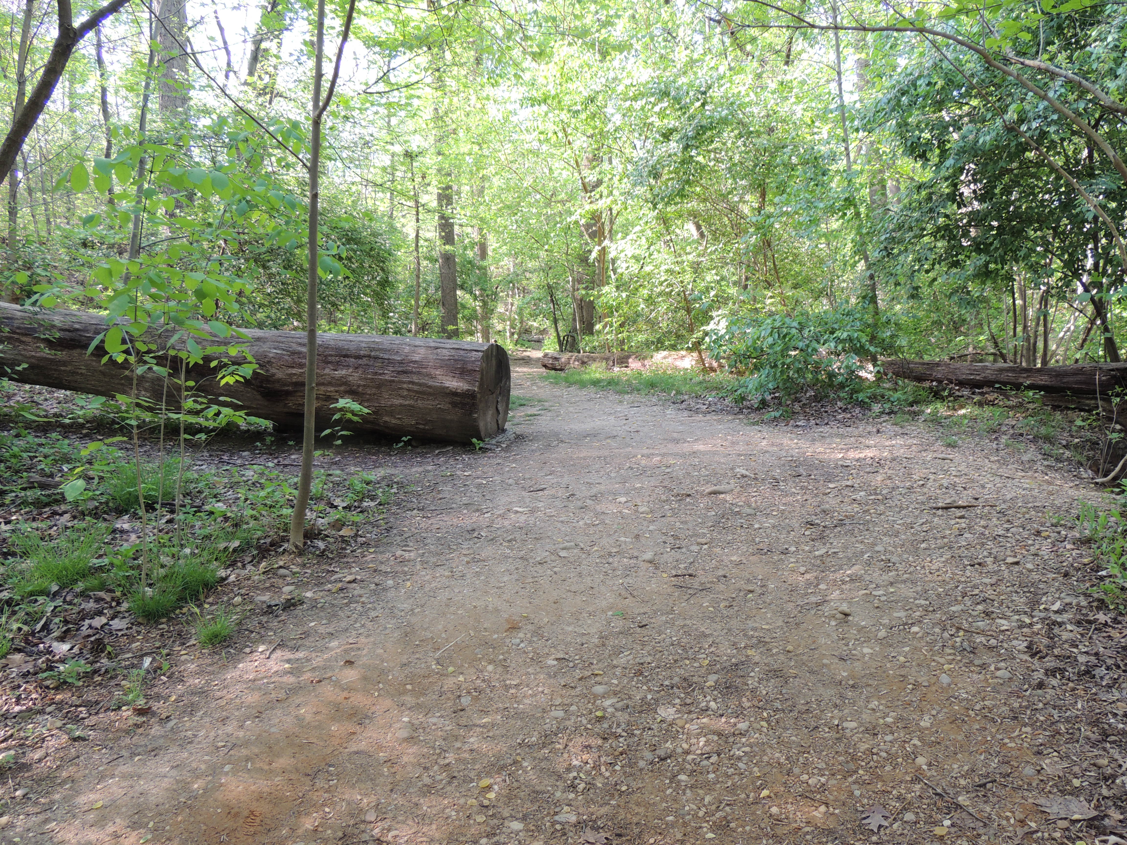
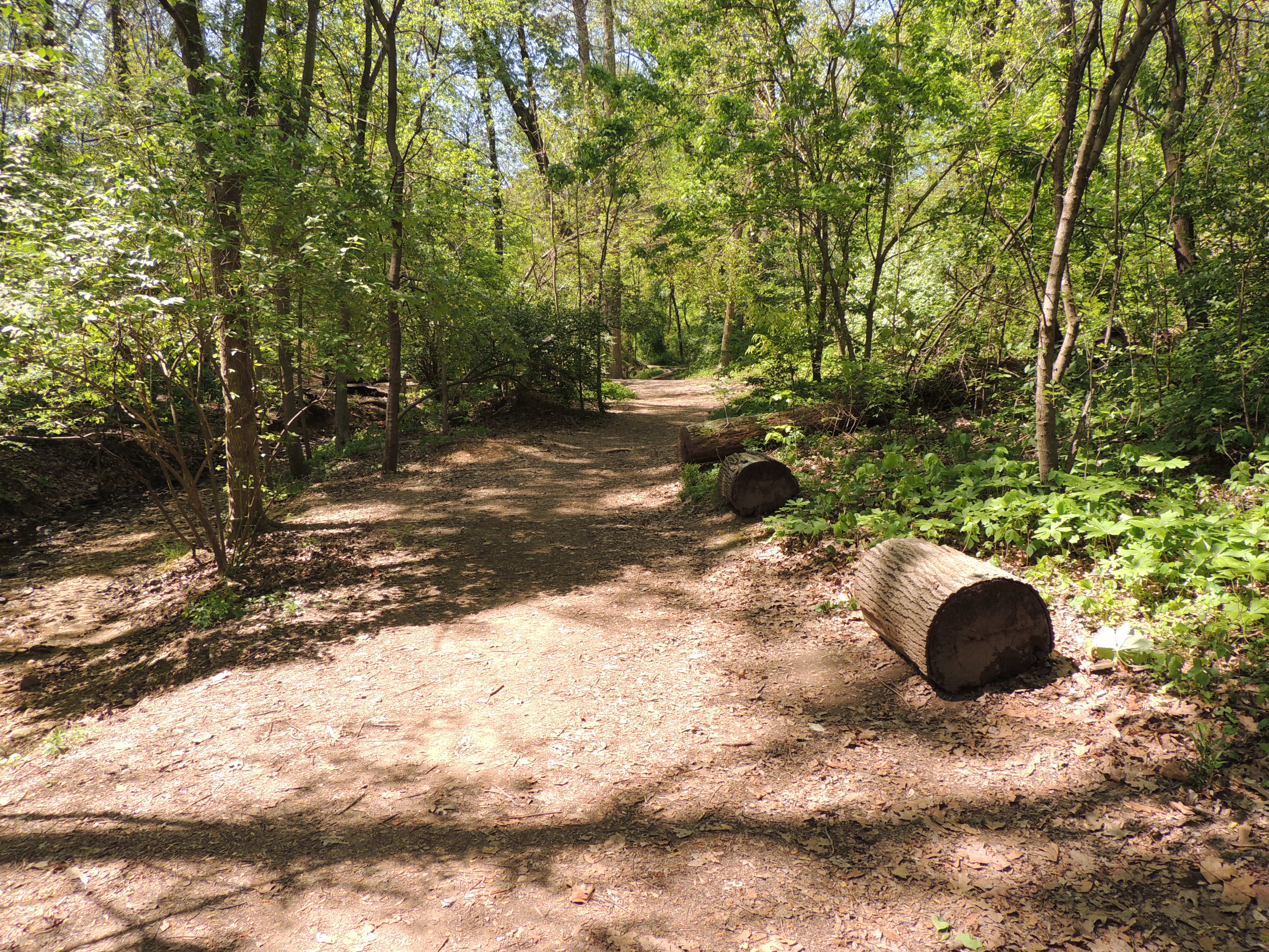
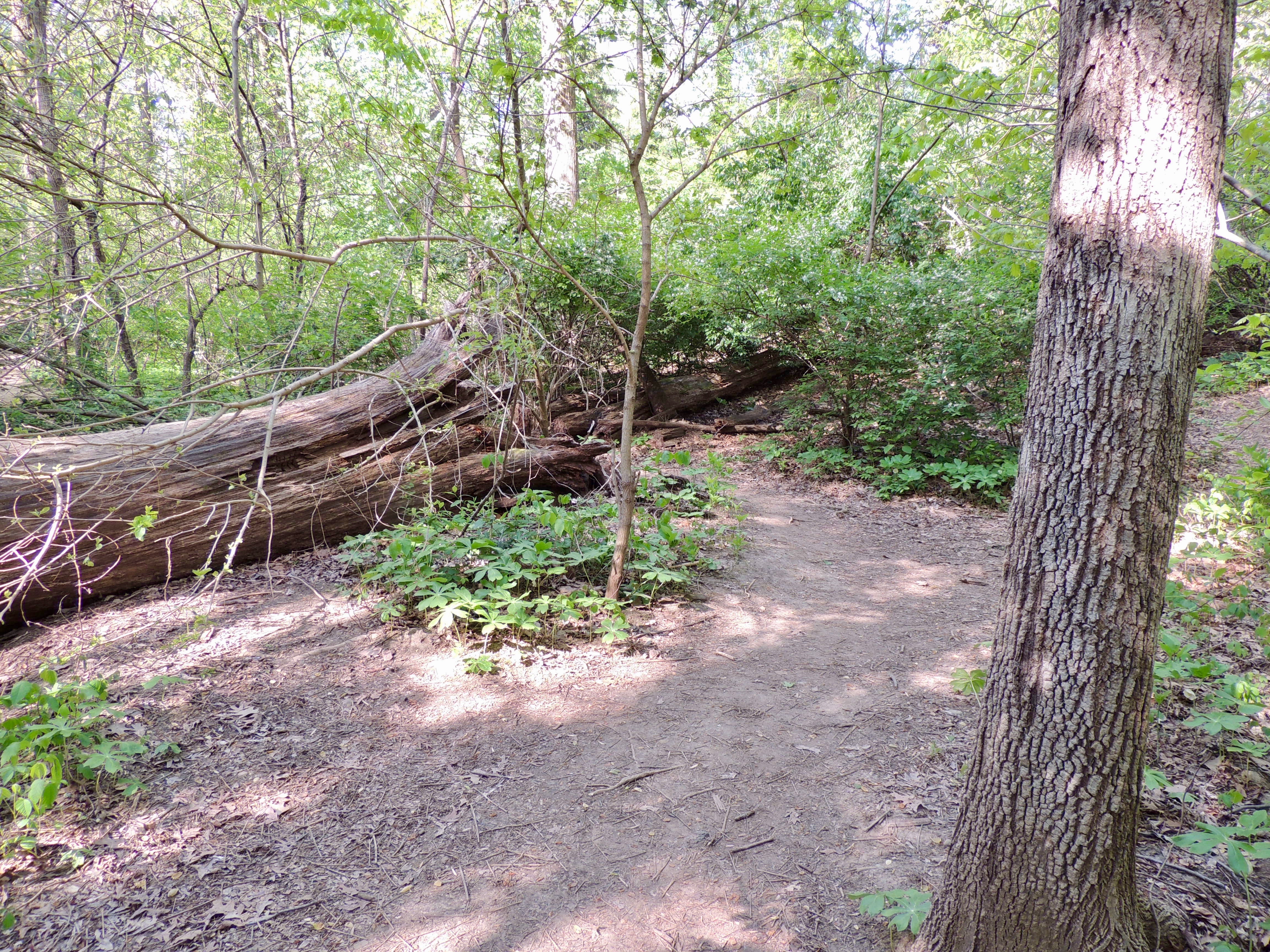
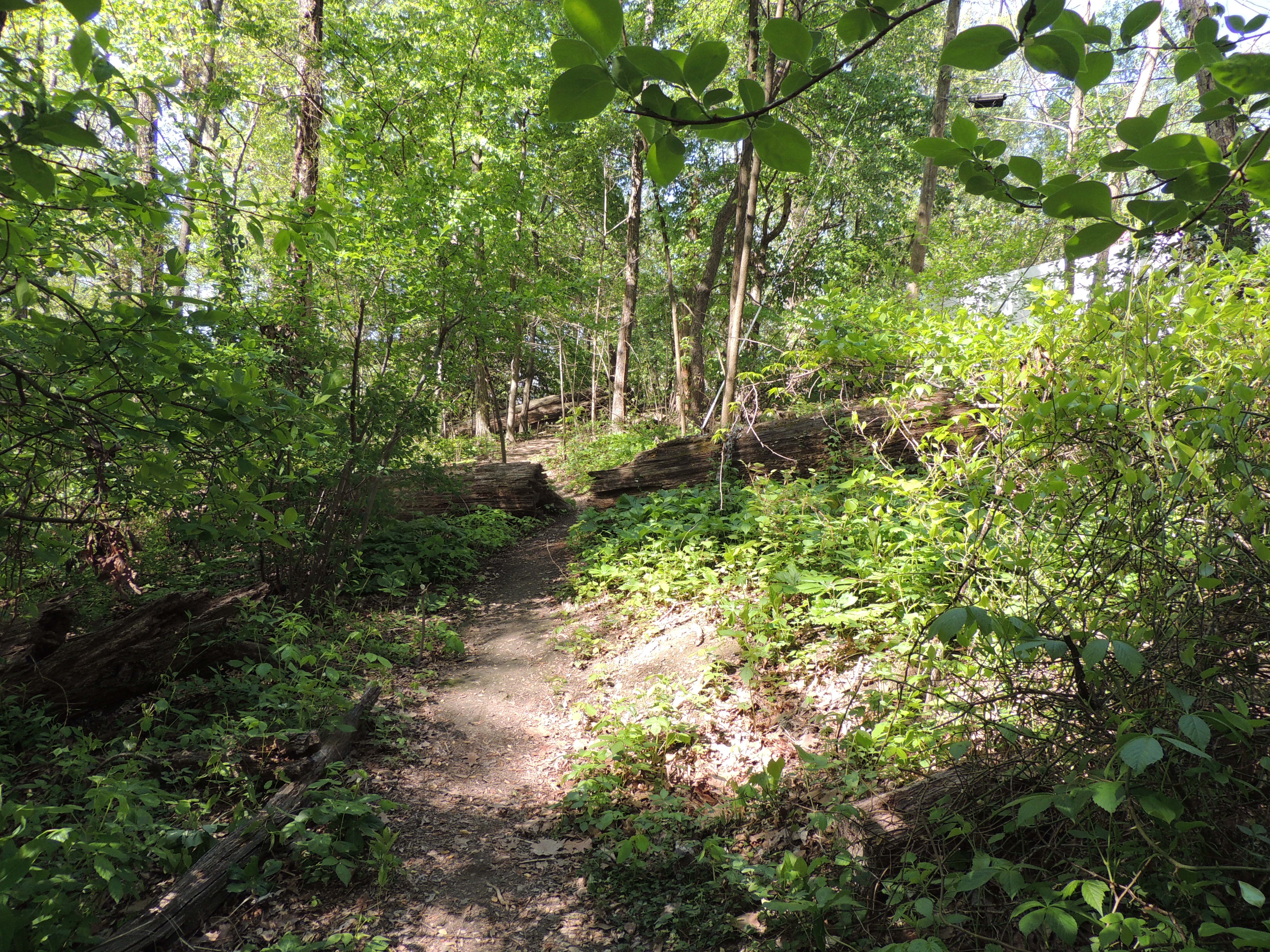
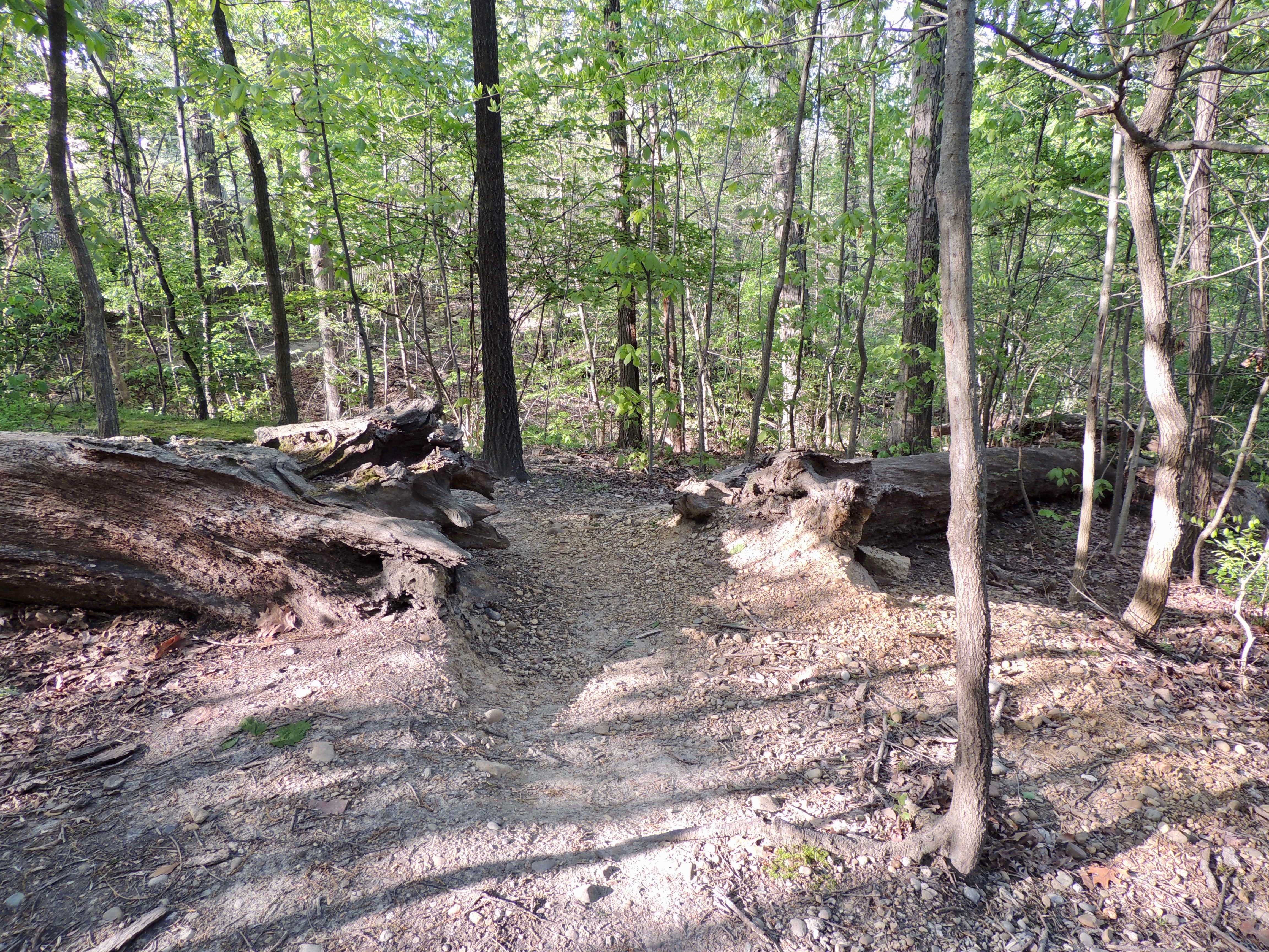
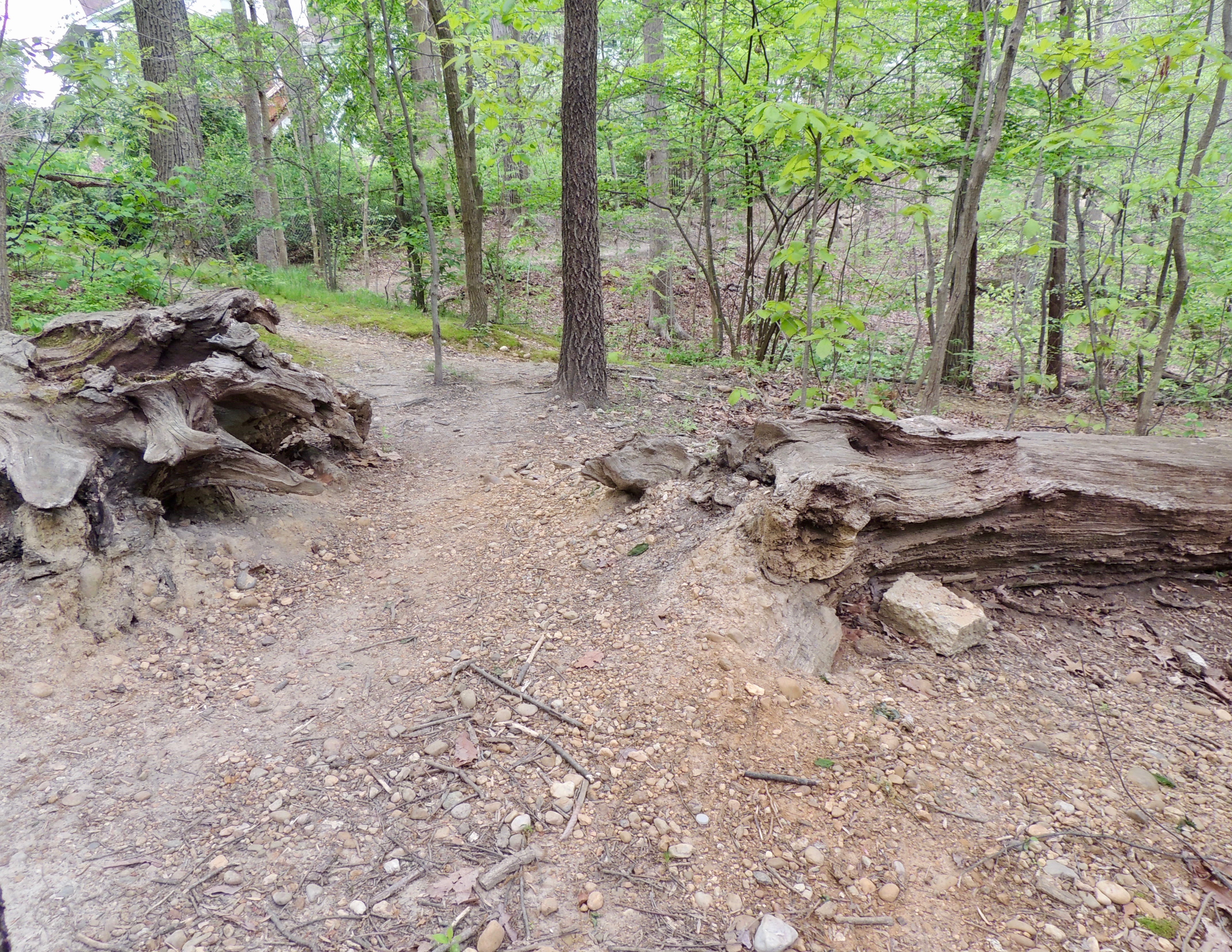
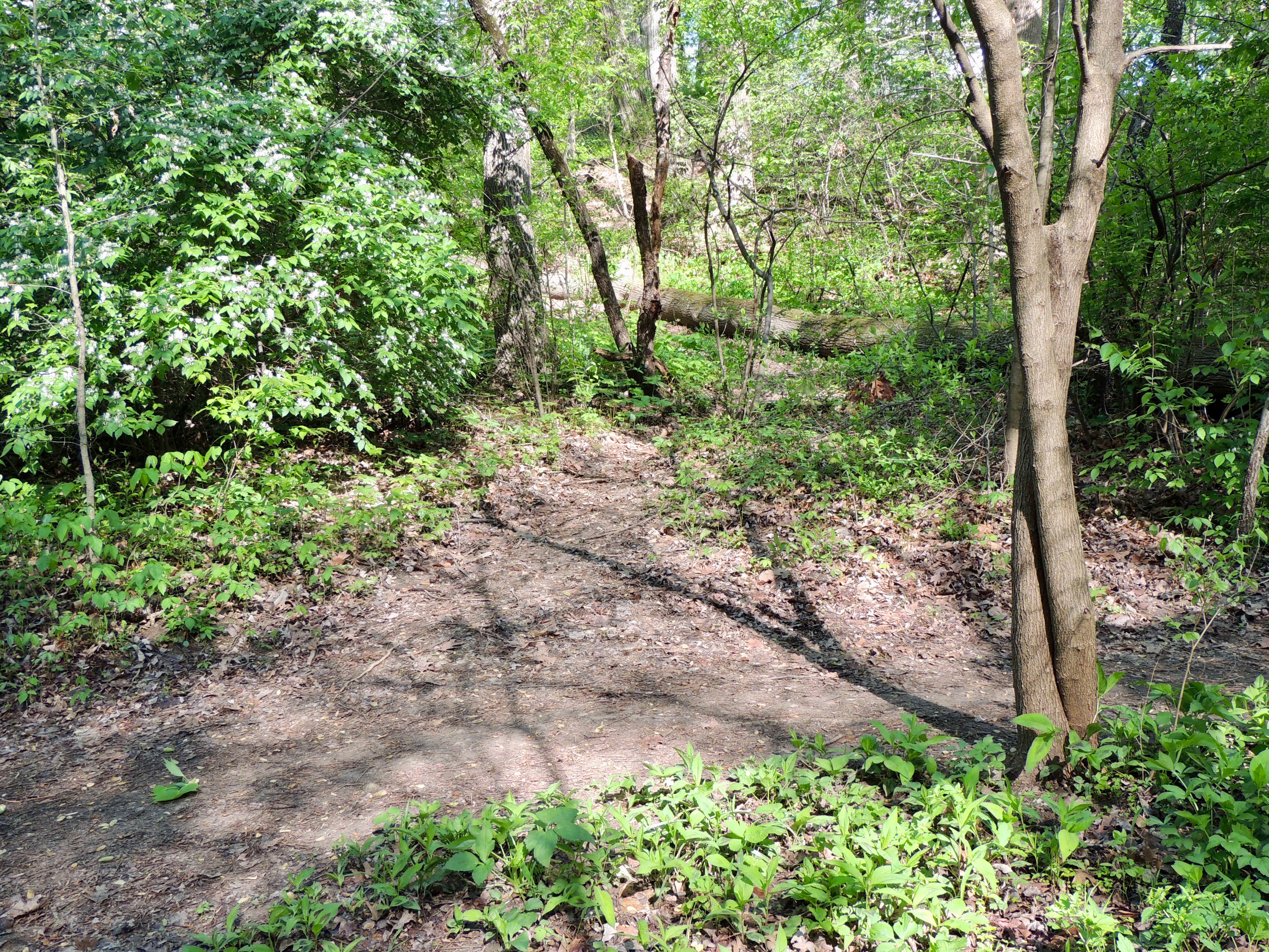
In June, 2012, a derecho hit Monticello Park, knocking down many trees. Two large trees fell across the East Stream Path. Openings have been cut in both trees so that people can use the path. The trees act as an informal southern boundary for the dog exercise area.
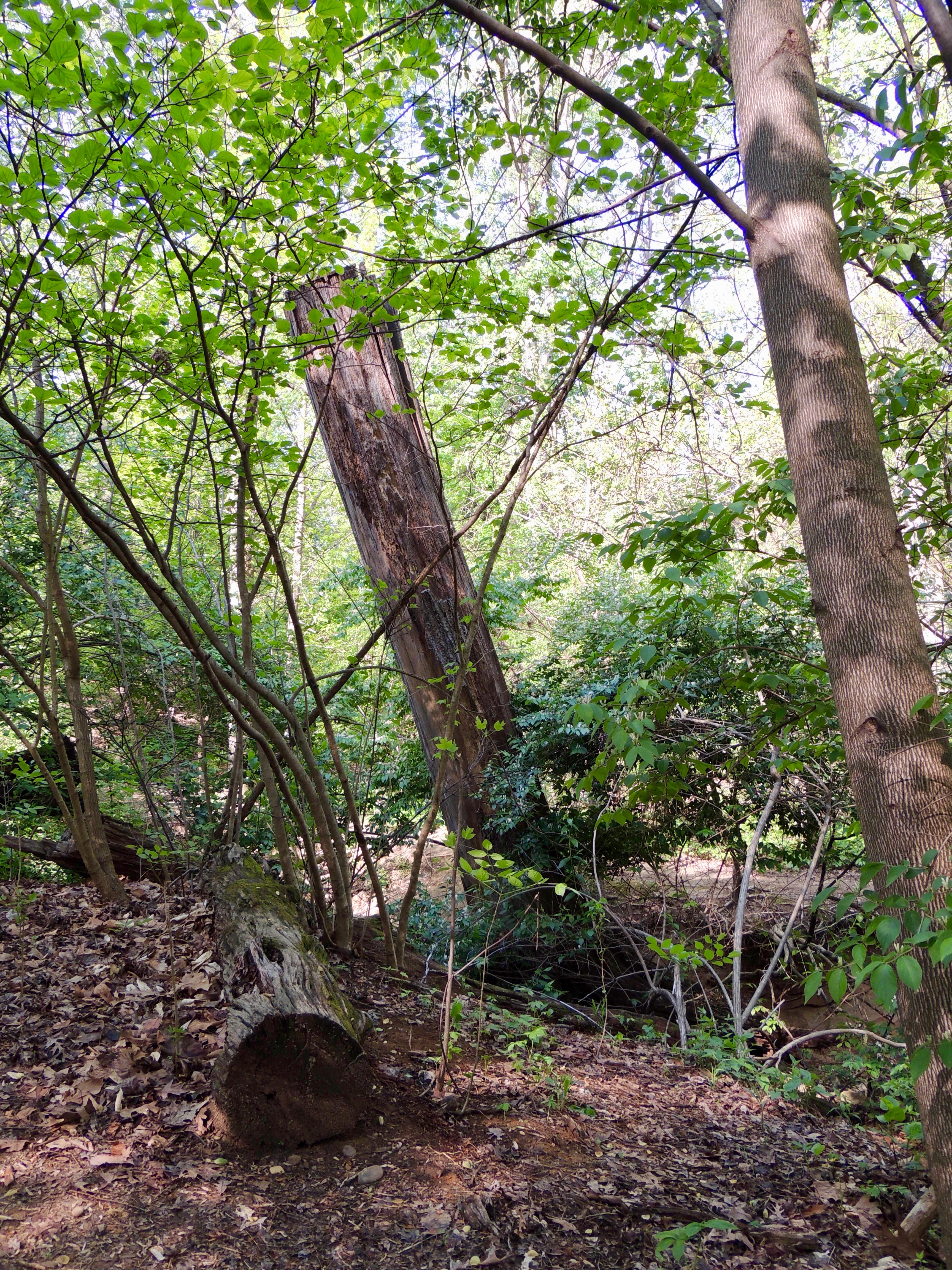
About 20 feet of the stump of one of the trees is in the stream, sticking straight into the air.
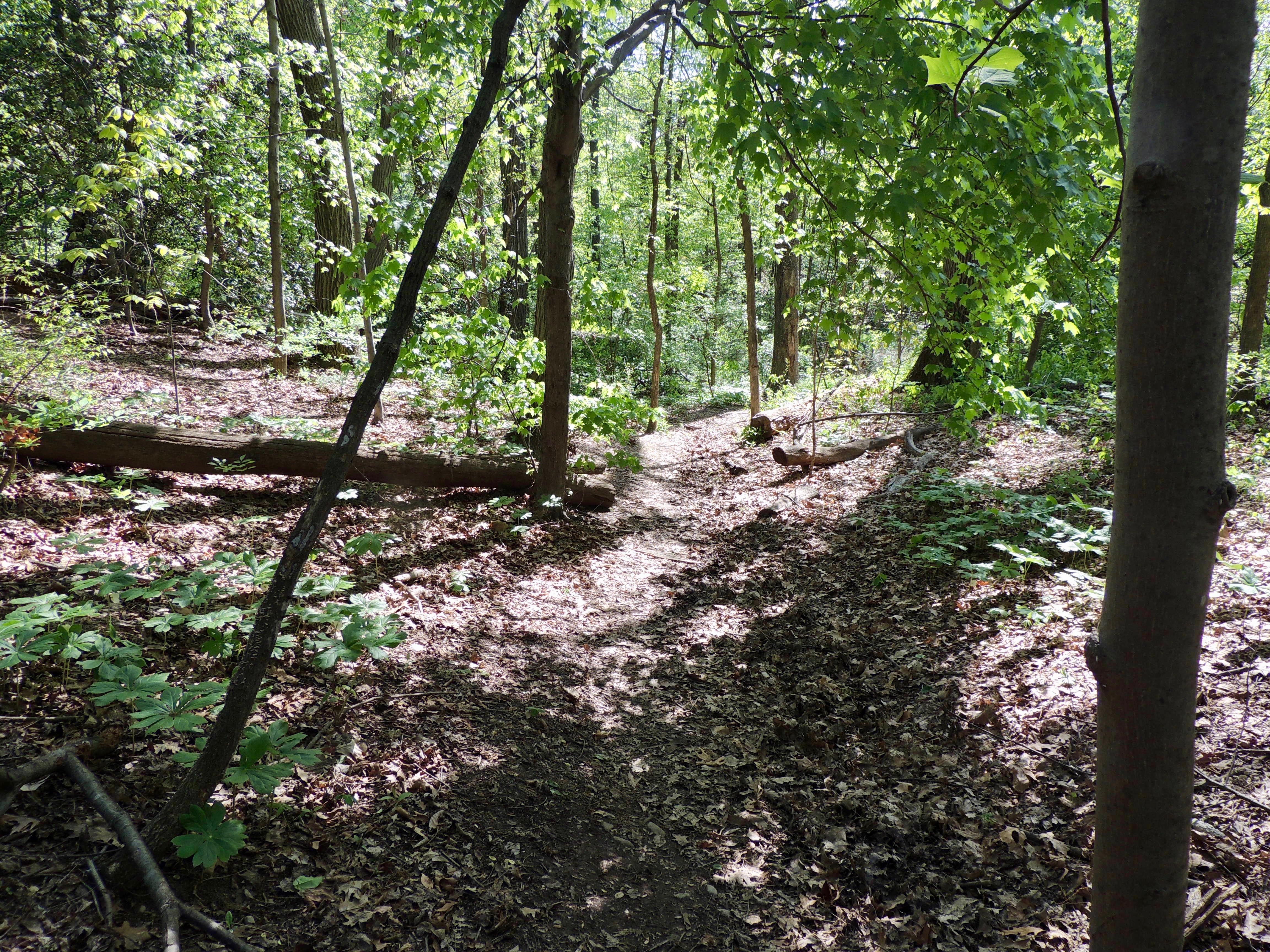
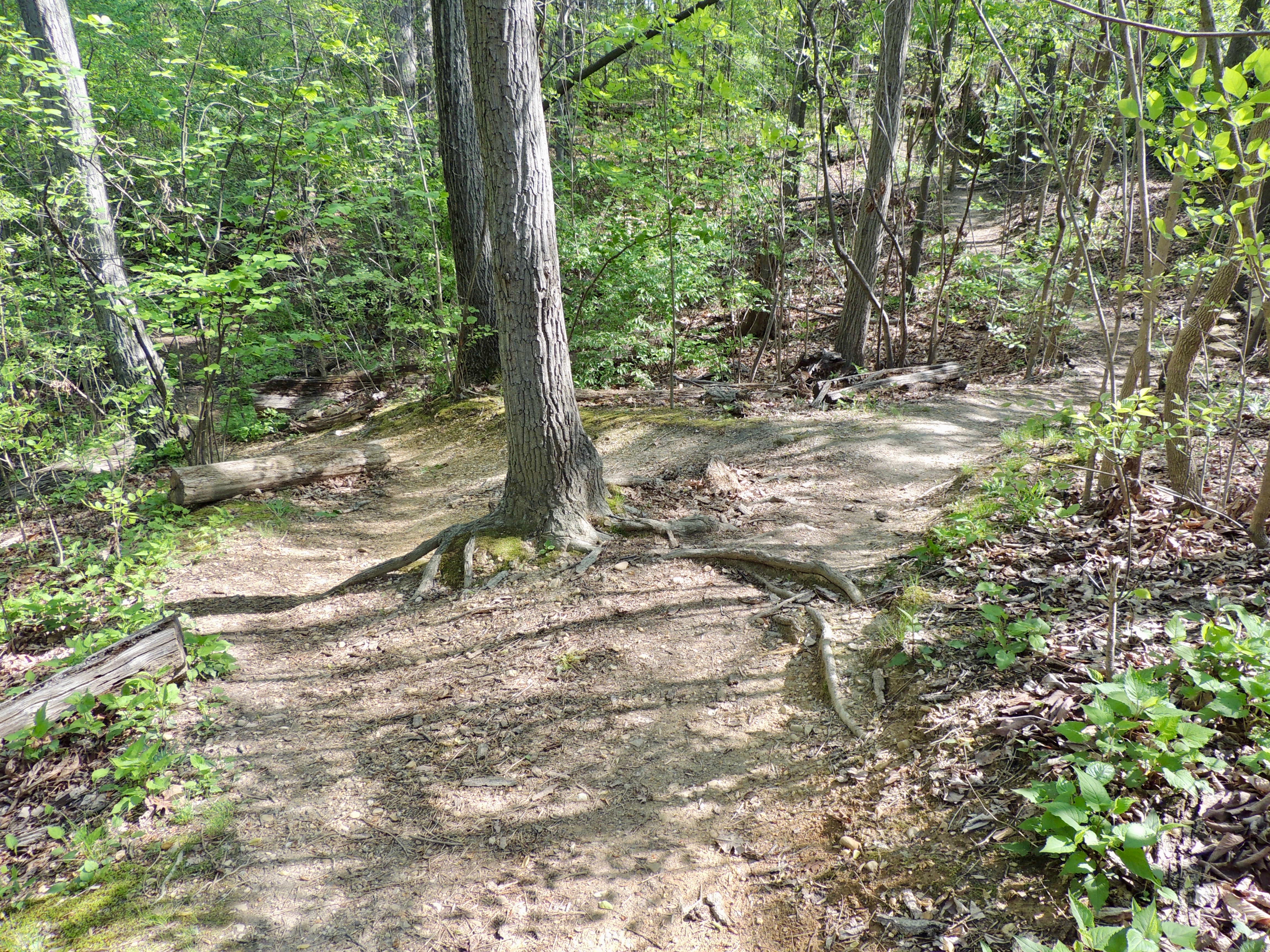
Ten yards past the second tree is an intersection with the Ridge Path. You can take the left fork and walk up the hill. (See the section below about the Ridge Path.)
In this same area is a small path that goes to the edge of the stream, from where you can often see birds bathing. During peak migration in the spring, you also can see birds flitting in the foliage on the other side of the stream.
On the East Stream Path another 35 yards along, you will come to an area of the stream where there can be a lot of bathing activity during spring migration. To the right is a shaded area with foliage.
A bit further on is a more open section of the stream where birds often visit to bathe and drink.
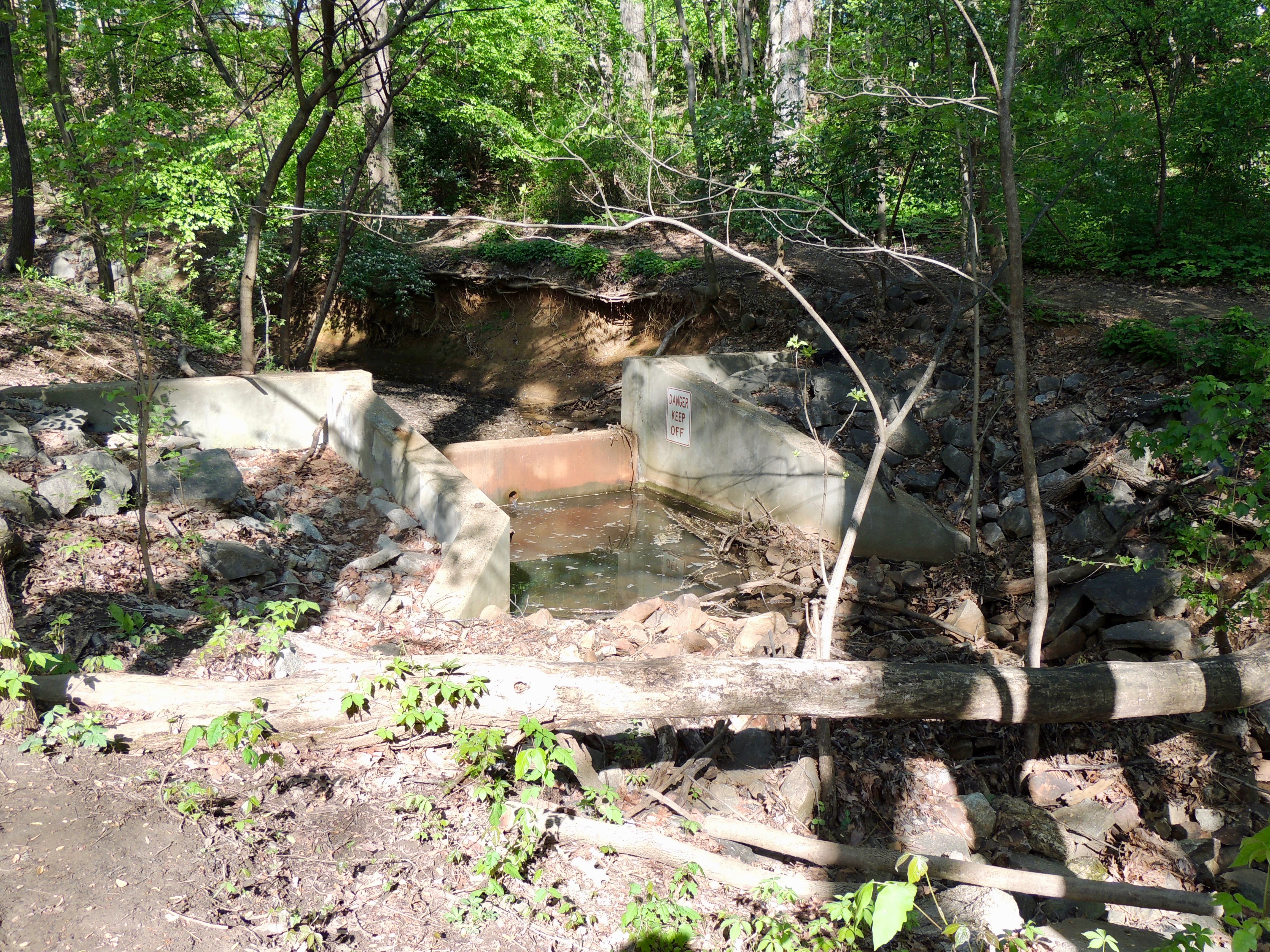
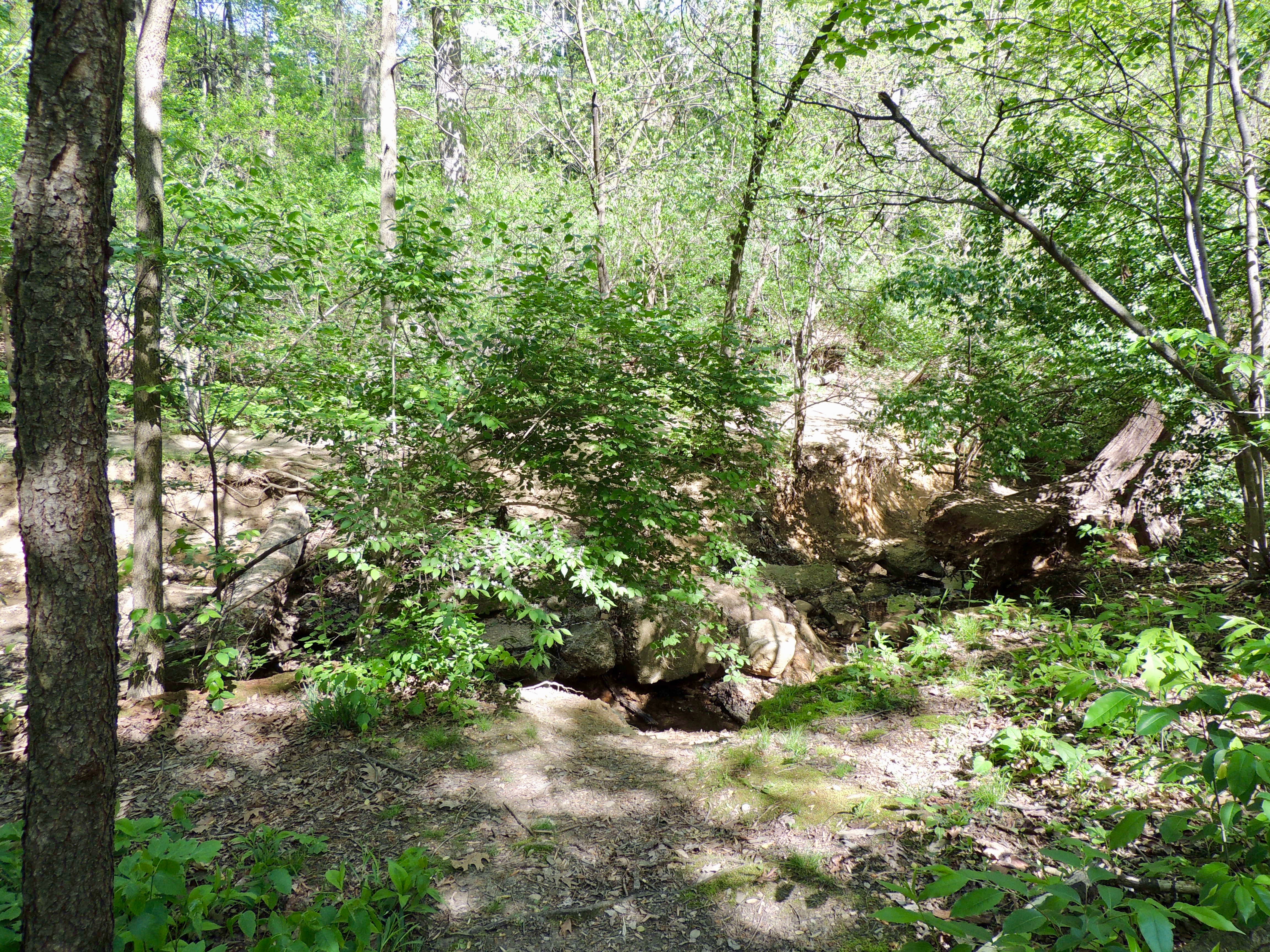
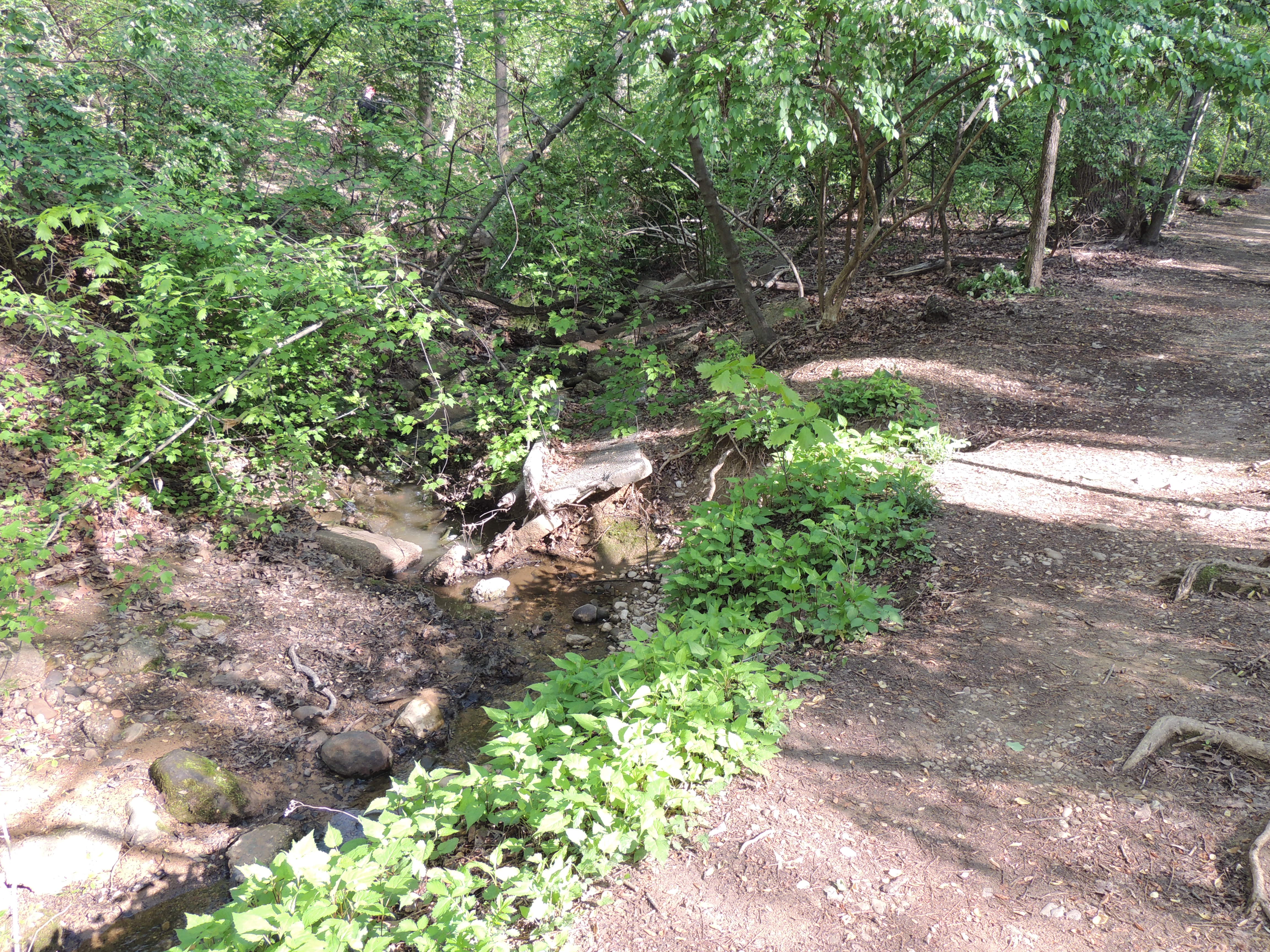
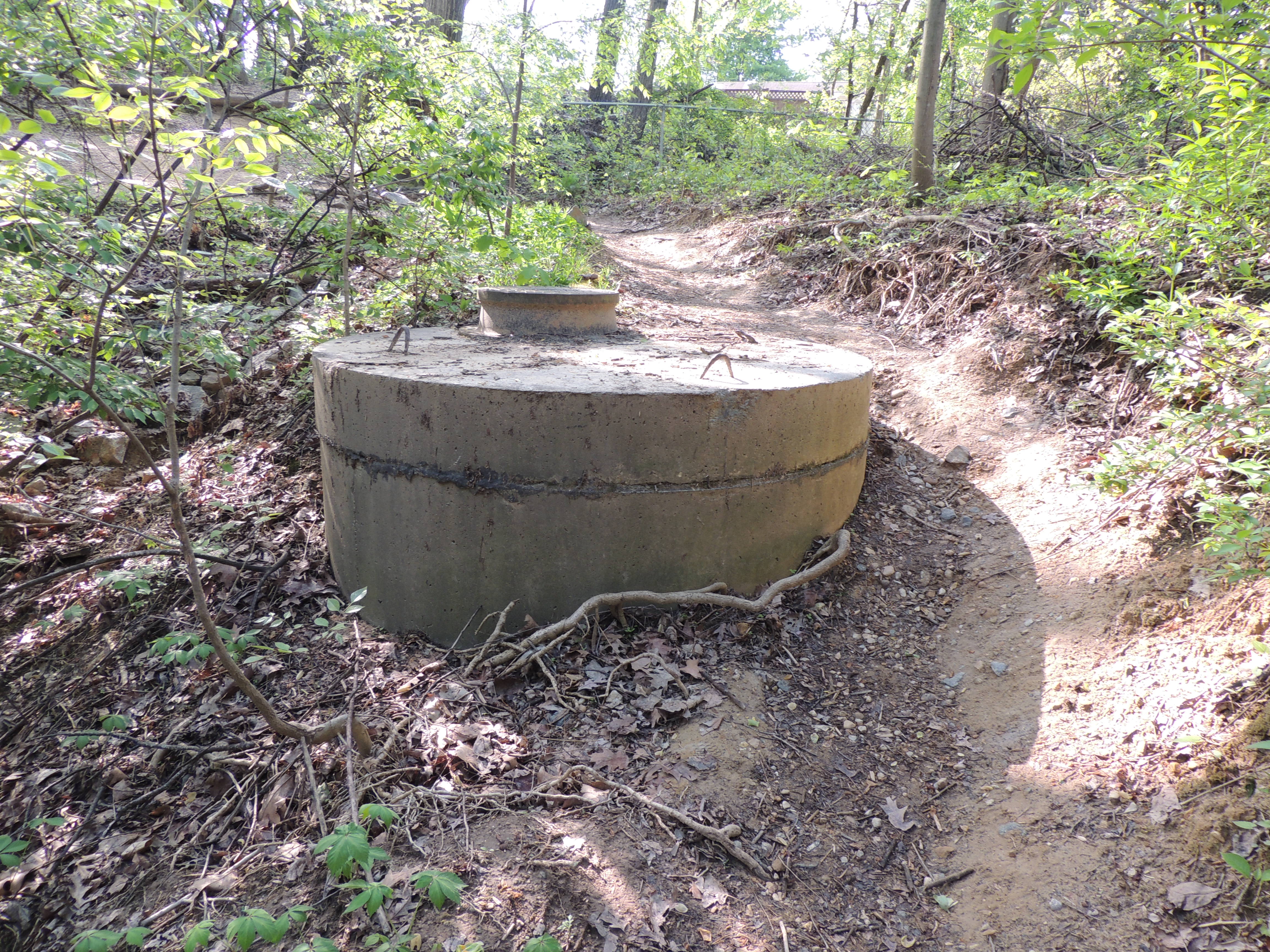
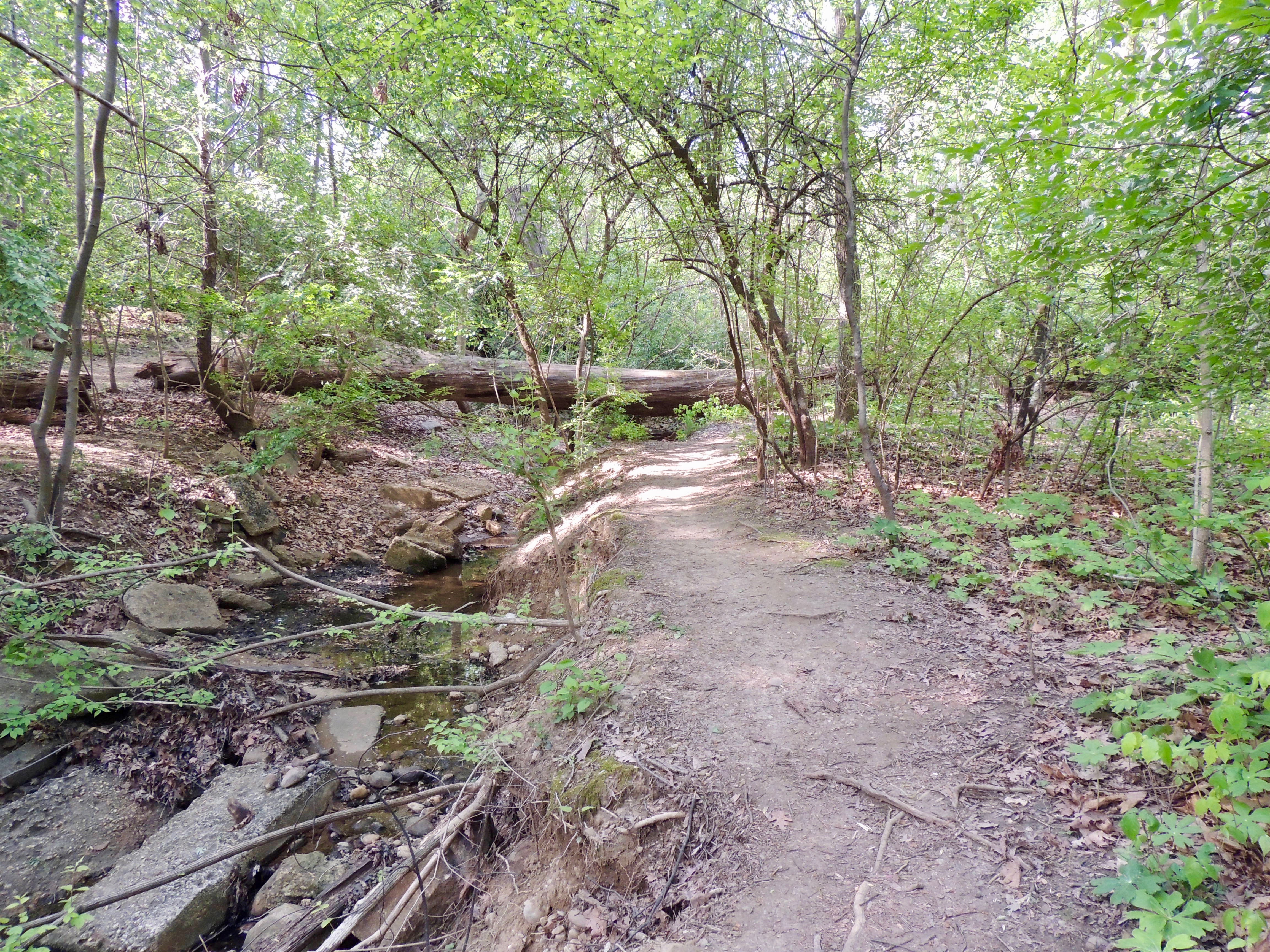
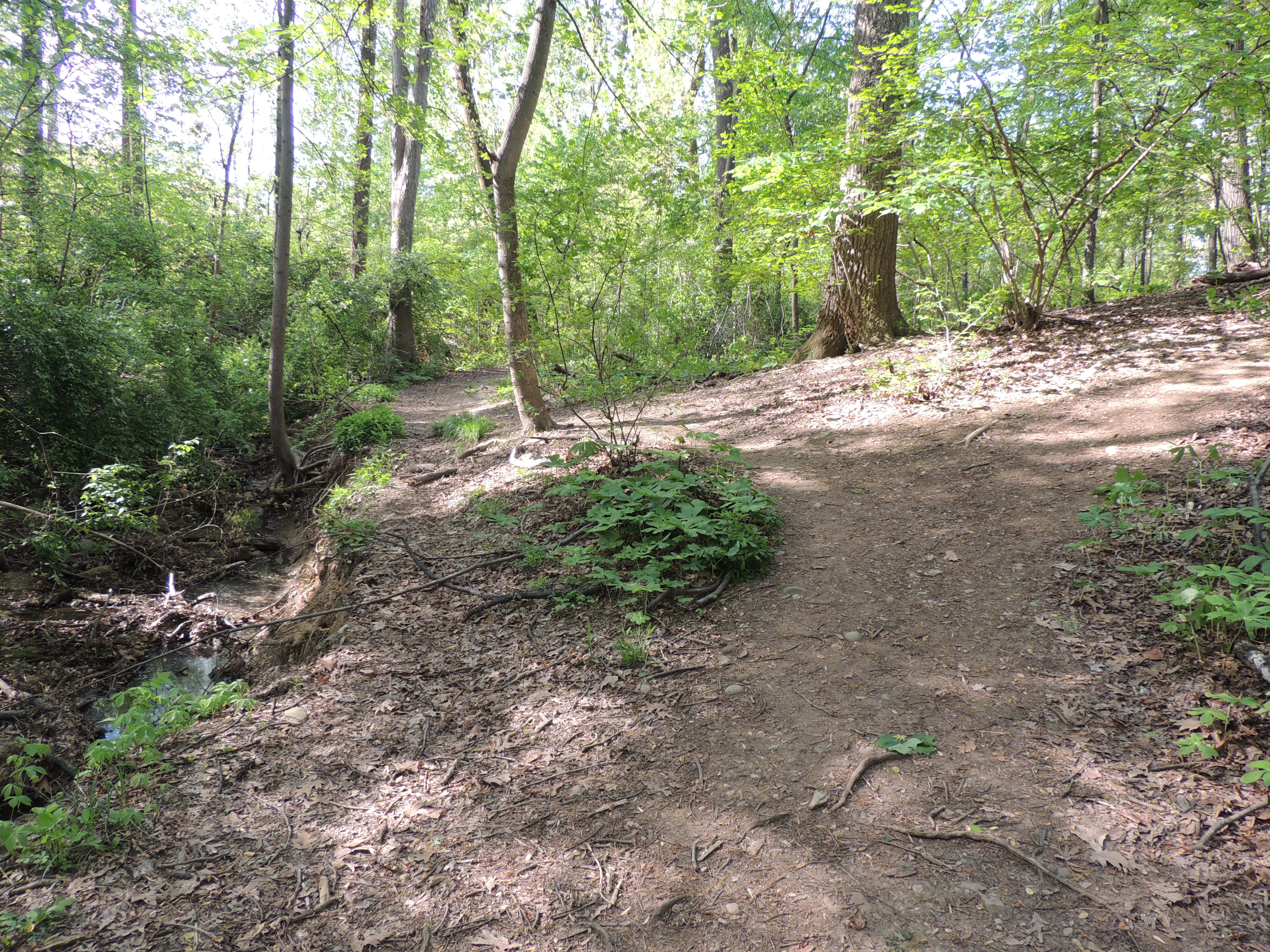
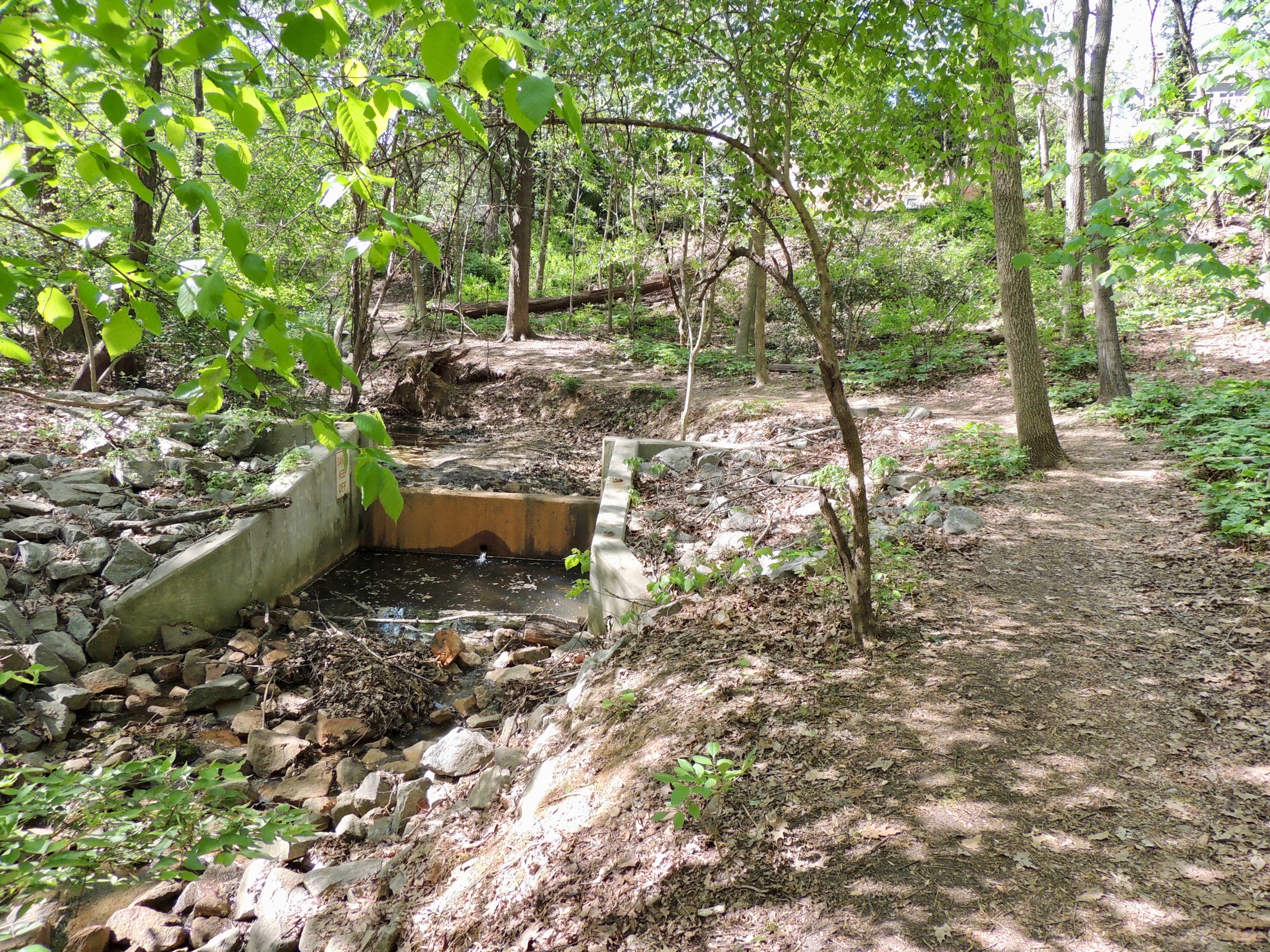
Continuing on the East Stream Path, you will pass weirs in three different areas of the stream over the next 75 yards. The weirs are concrete structures that restrict the flow of the stream to try to prevent erosion.
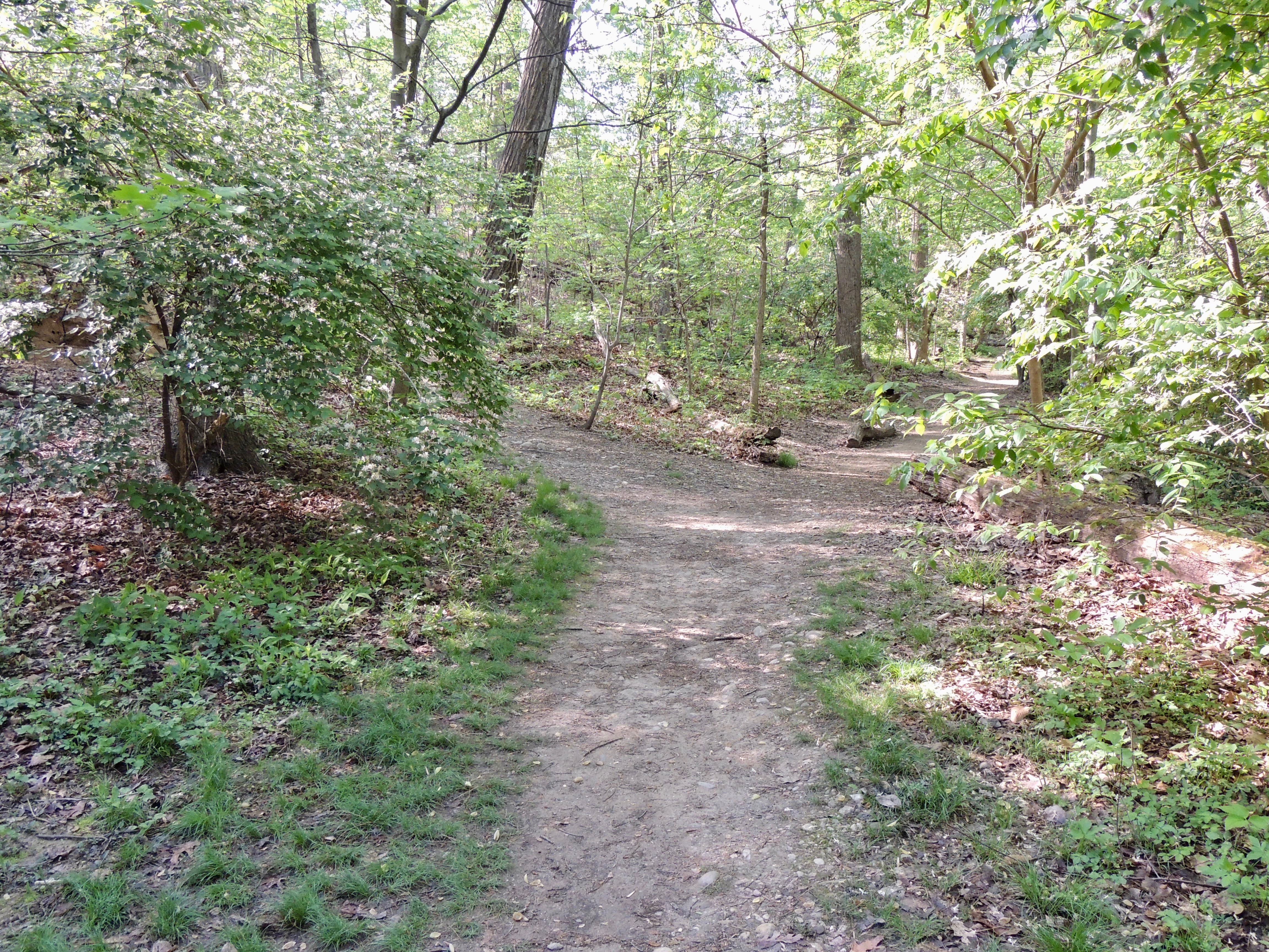
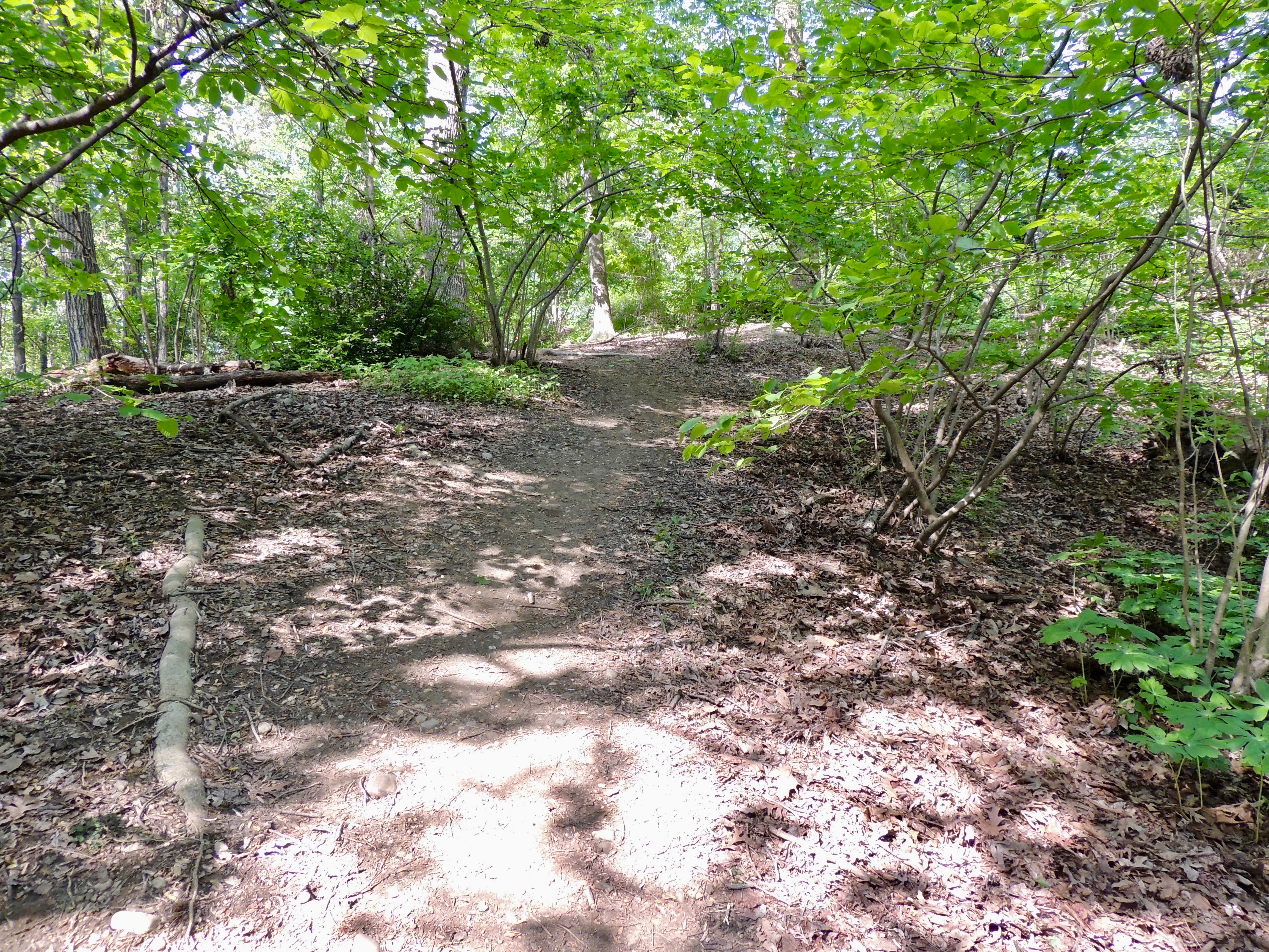
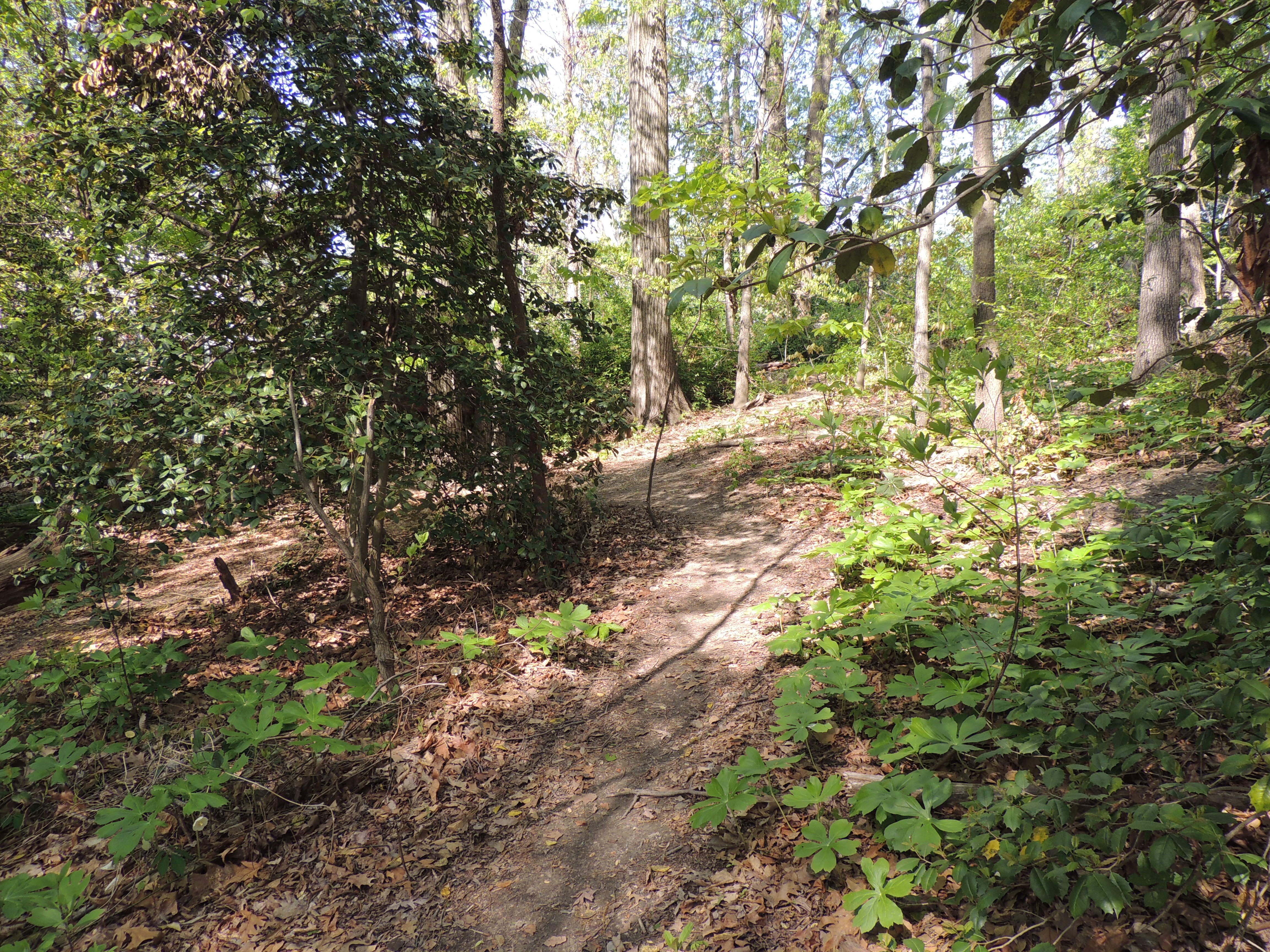
As the path winds toward the south end of the park, some of the vegetation on the left includes Christmas Ferns.
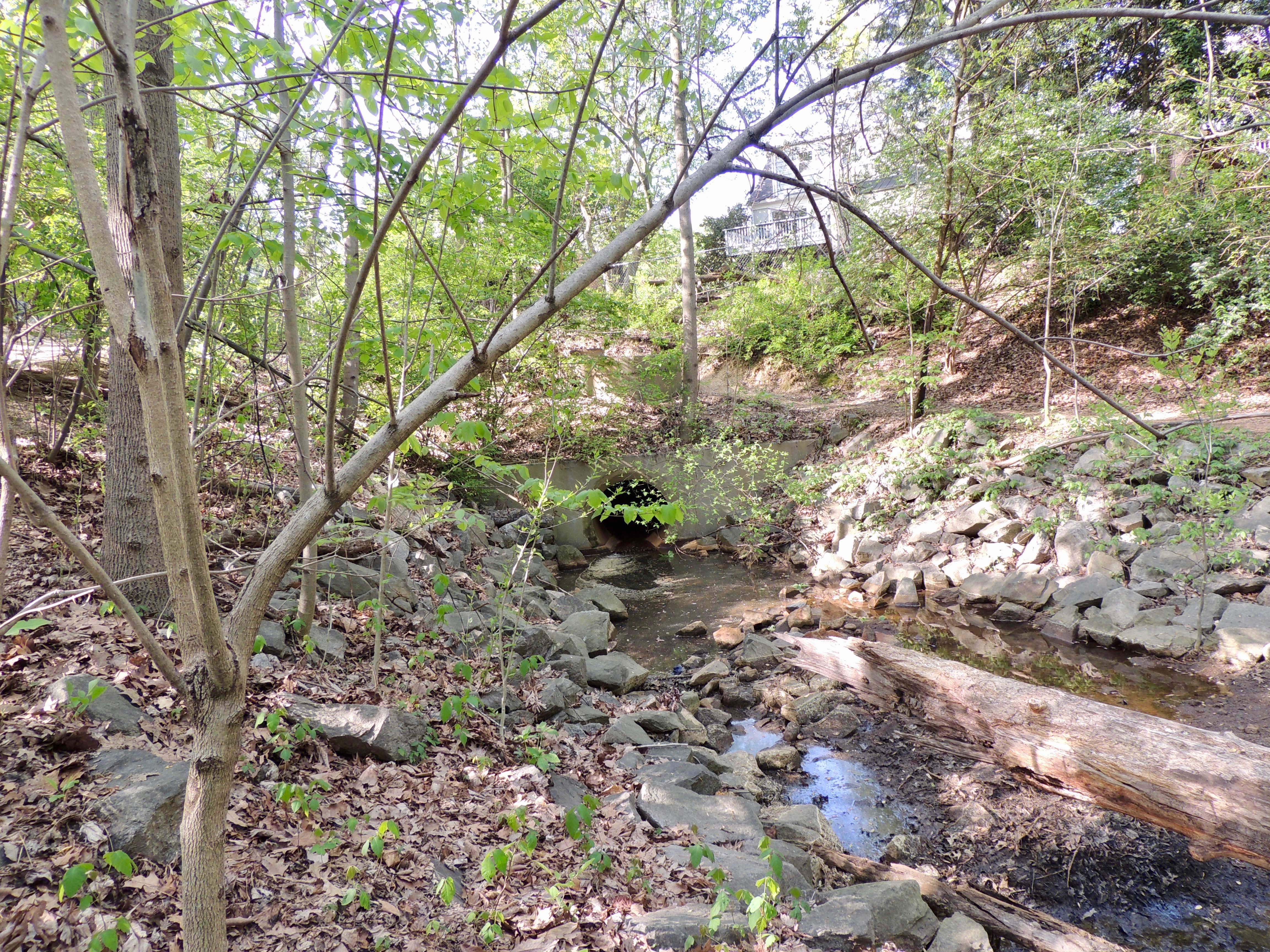
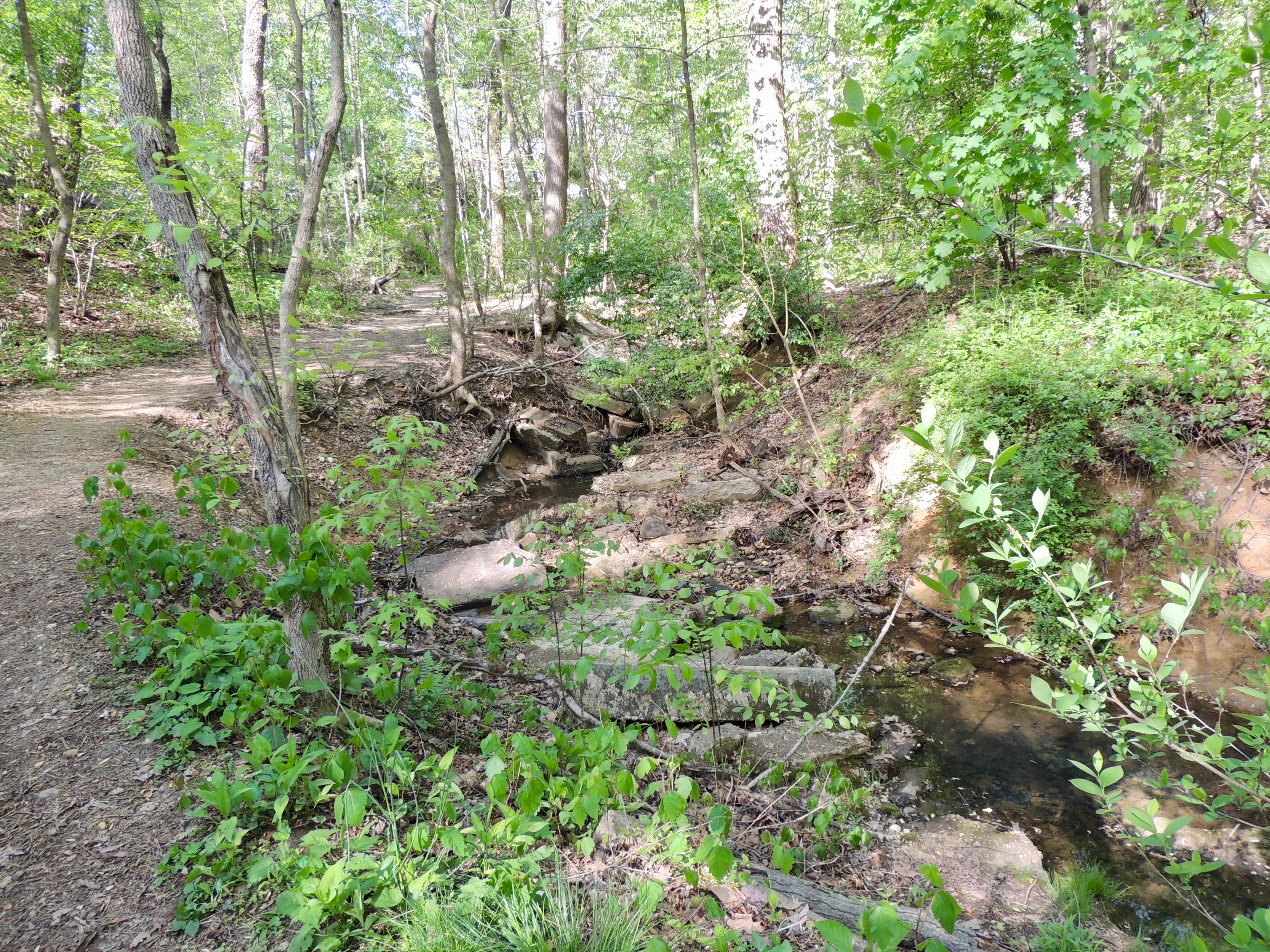
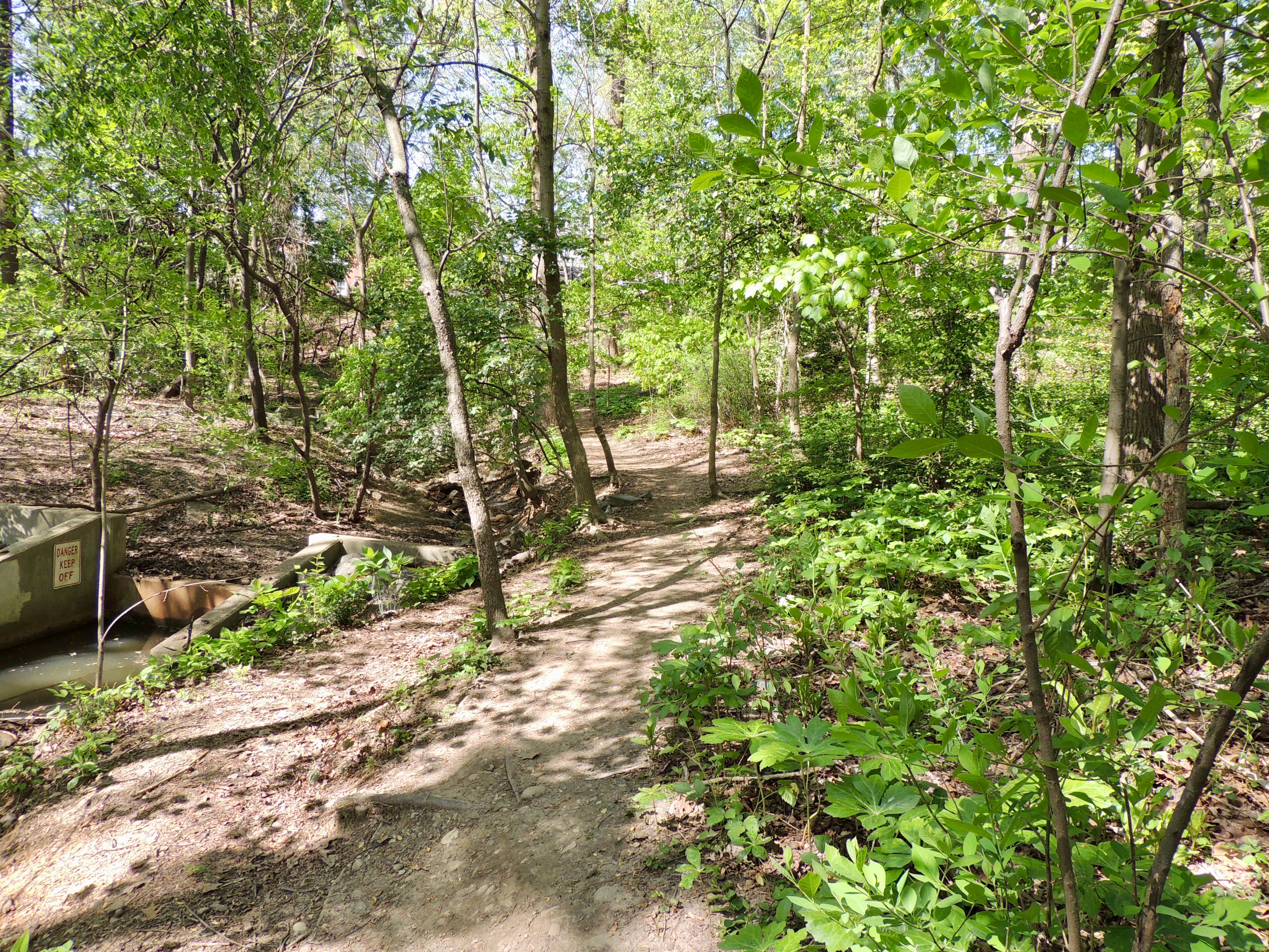
Another culvert is located at the south end of the park near the Old Dominion Boulevard entrance.
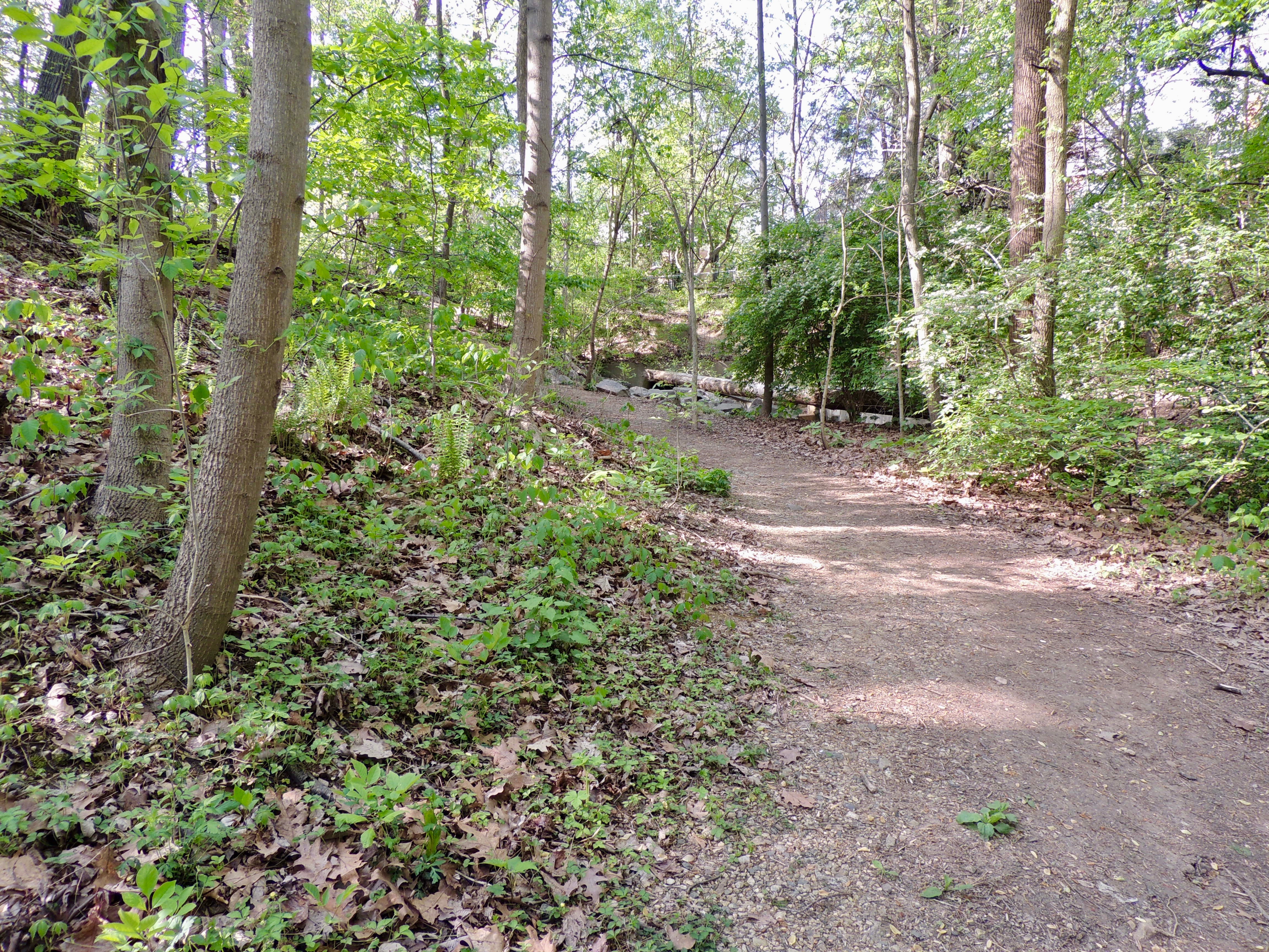
The East Stream Path loops around the culvert, leading to the West Stream Path. Crossing the culvert requires walking down a slope, which can be muddy and slippery after rain. You should be careful even in dry conditions when walking down this slope. The slope can also be slippery if you approach it from the West Stream Path.
West Stream Path
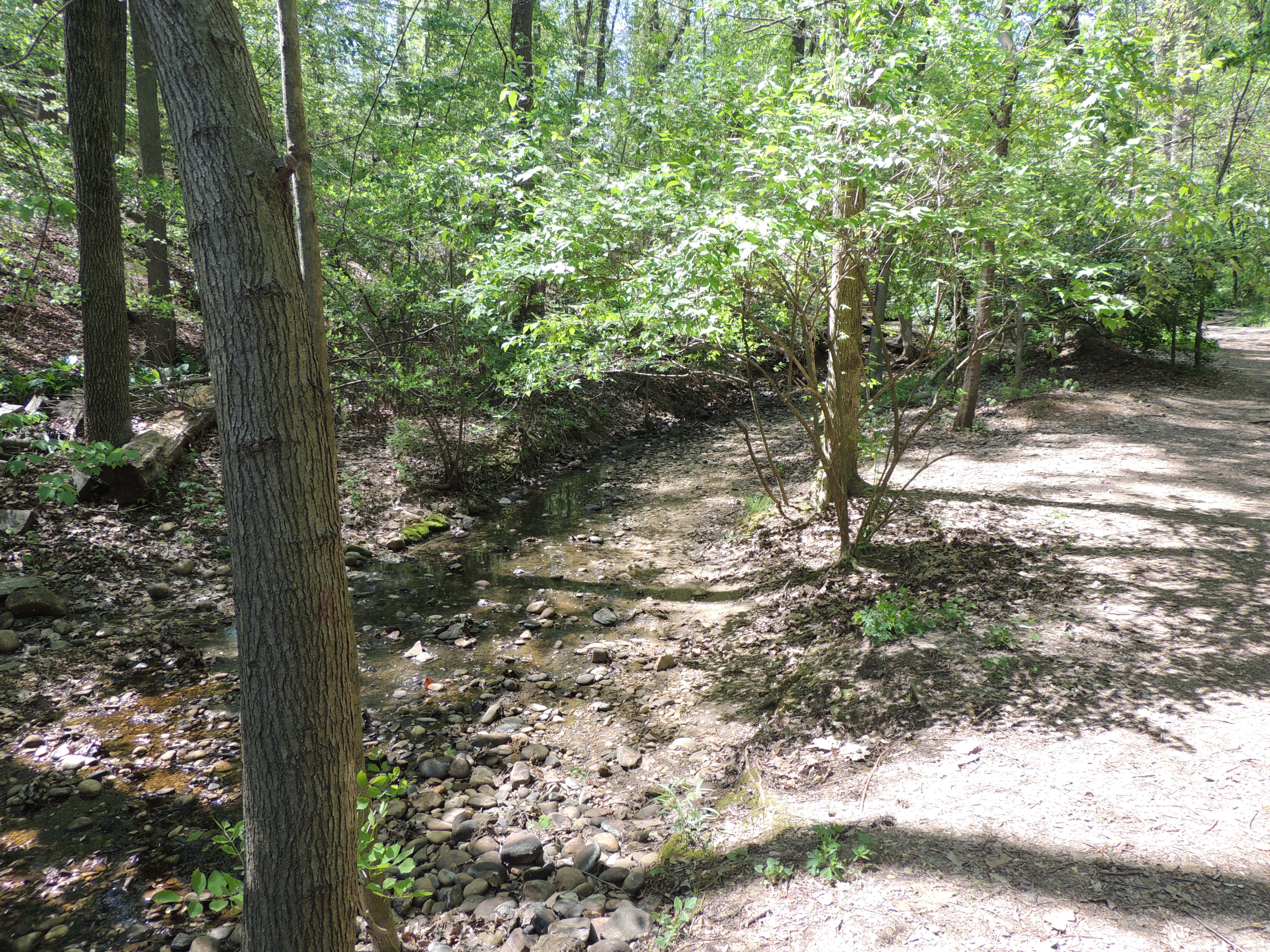
If you come in one of the Beverley Drive entrances and do not cross the bridge, you can walk along the narrower West Stream Path. The stream will be on your left, and trees and vegetation will be on your right. This portion of the stream often features many bathing birds, and the trees and vegetation often have a lot of foraging activity.
At midstream, you will come to a downed tree, and the path curves around it. Sometimes, songbirds forage under the tree and go into the stream.
After the curve is a wider portion of the stream in which many birds bathe, and you sometimes can see waterthrushes bobbing around in this area during the spring.
A few yards farther on, you will reach an area where the West Stream path intersects the north end of the Knoll Path, which leads up a hill on the right. (A description of the Knoll Path is below.)
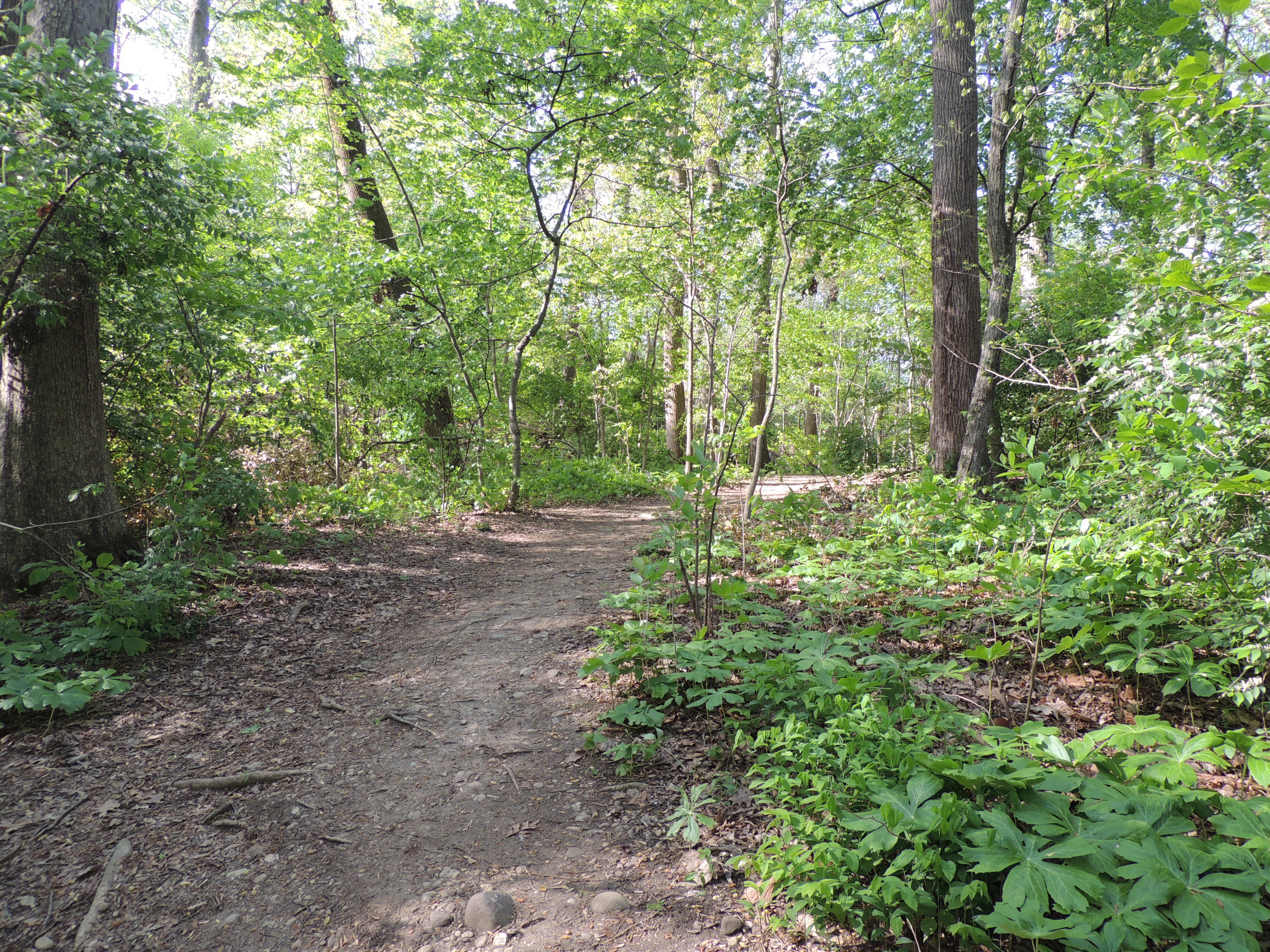
The next portion of the West Stream Path has vegetation on both sides, and you will not be able to see into the stream. Both a Fringe Tree and Smooth Carrion Flowers are among the flora you can see in this portion.
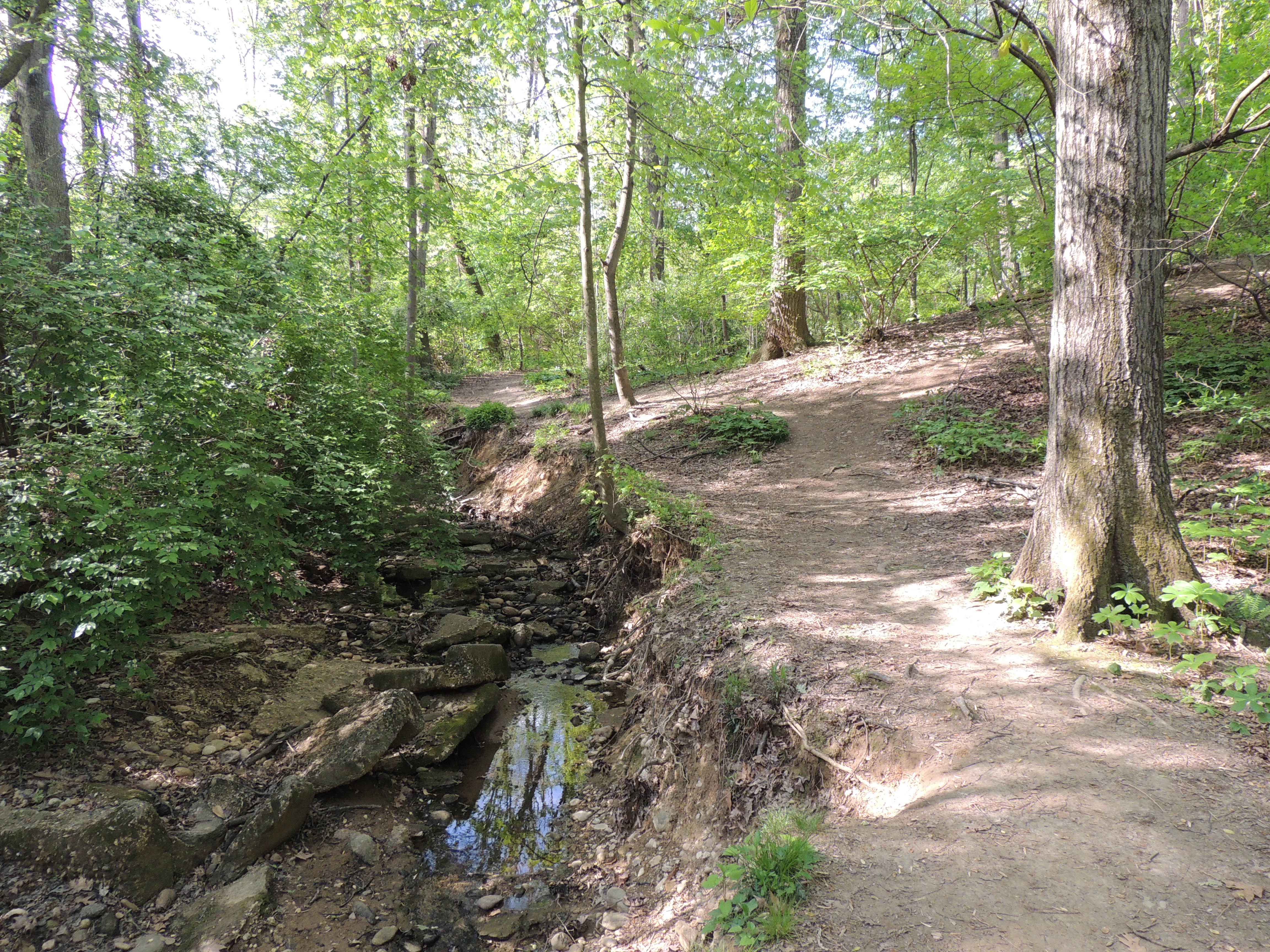
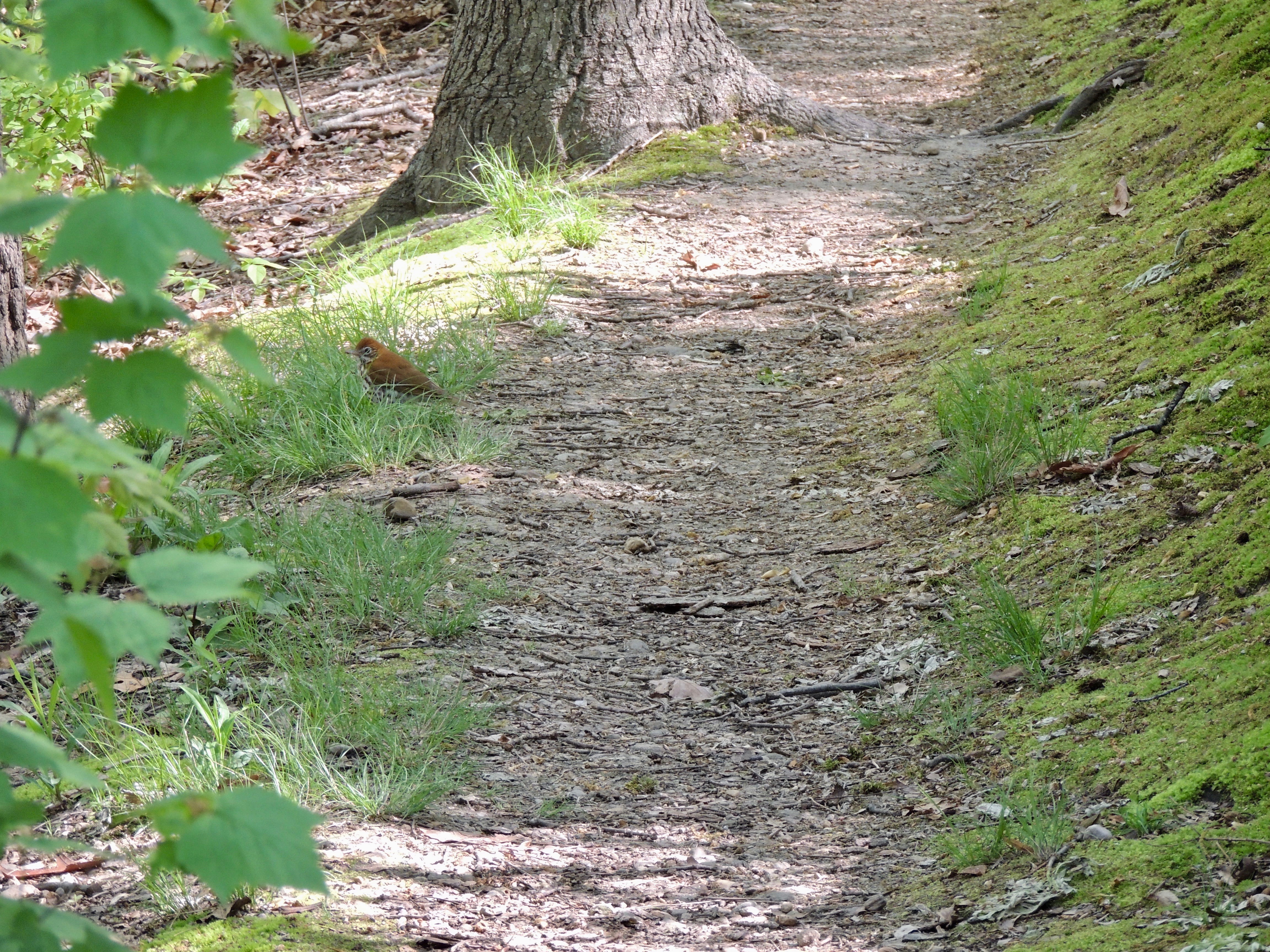
You will shortly be able to see into the stream again. During May, this area can have a lot of thrushes foraging on the ground. This is the beginning of the portion of the stream with the three weirs.
You will soon come to the intersection of the West Stream Path with the south end of the Knoll Path, which will be to your right. The Knoll Path goes up a hill.
The final 60 yards of the West Stream Path can be excellent for seeing birds in the trees and in the water between the weirs.
Knoll Path
A short distance past the downed tree at the middle portion of the West Stream Path is an intersection. To the right is a hill at the beginning of the Knoll Path. The reason this portion of the park is call the "knoll" is that many years ago, a man from one of the neighboring houses used to walk down this hill with his dog Newton, and the area became known as "Newton's Knoll." It eventually was shortened to "the Knoll."
Near the top of the hill is an open area, which can have a lot of warblers and other birds both near ground level and in the trees.
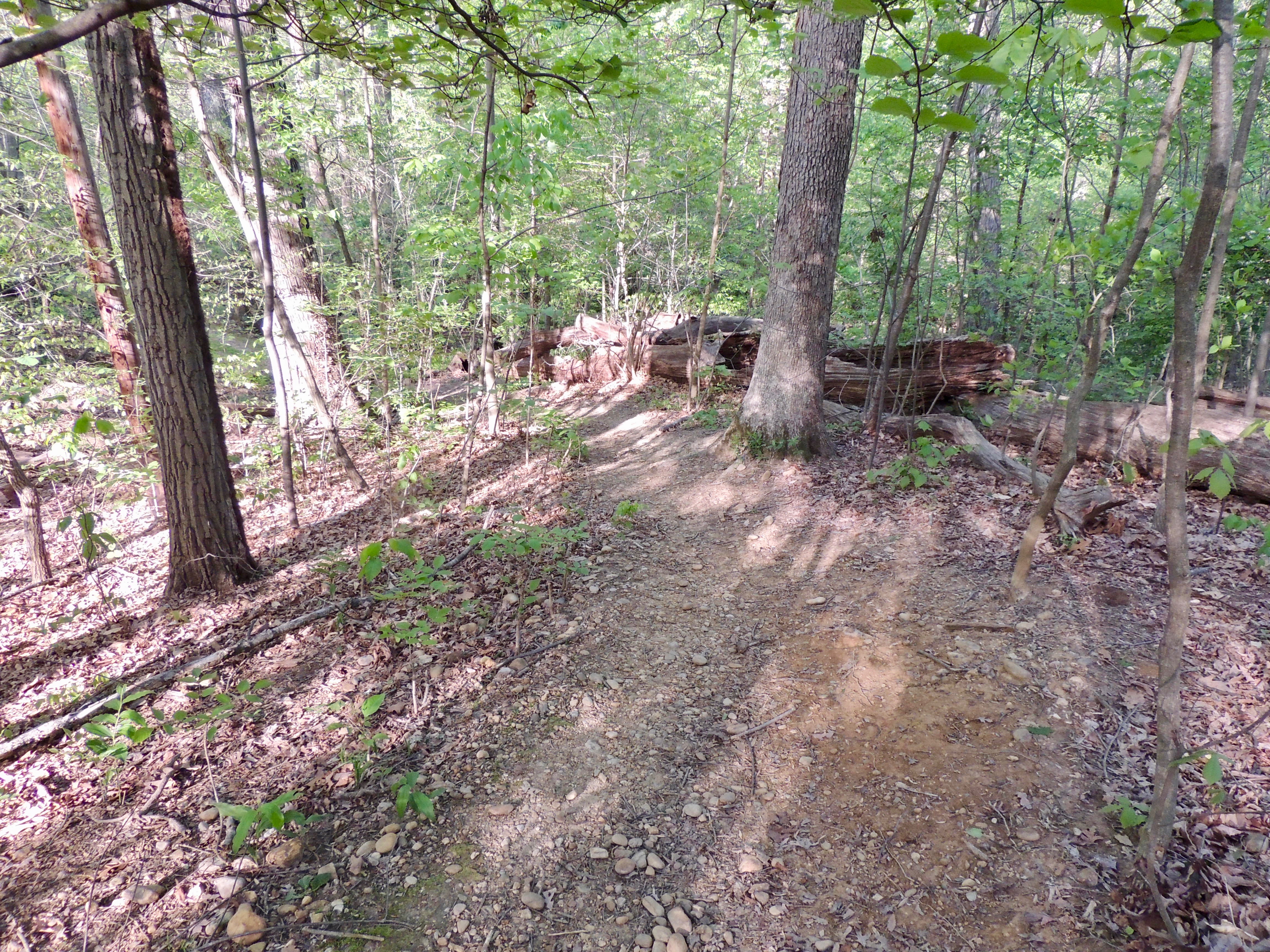
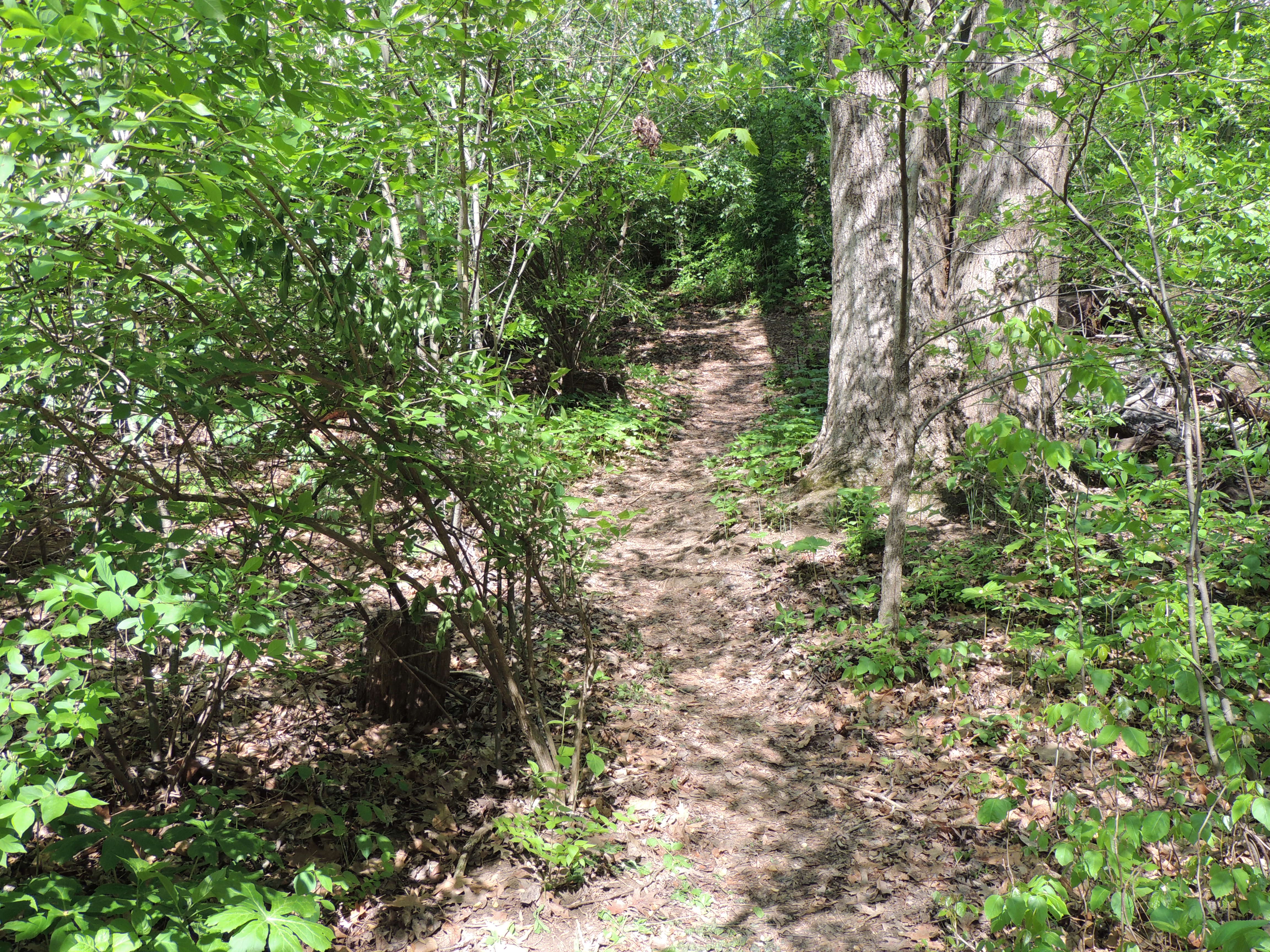
You will shortly come to a downed tree in the path. An opening has been cut in the tree so that people can walk on the path.
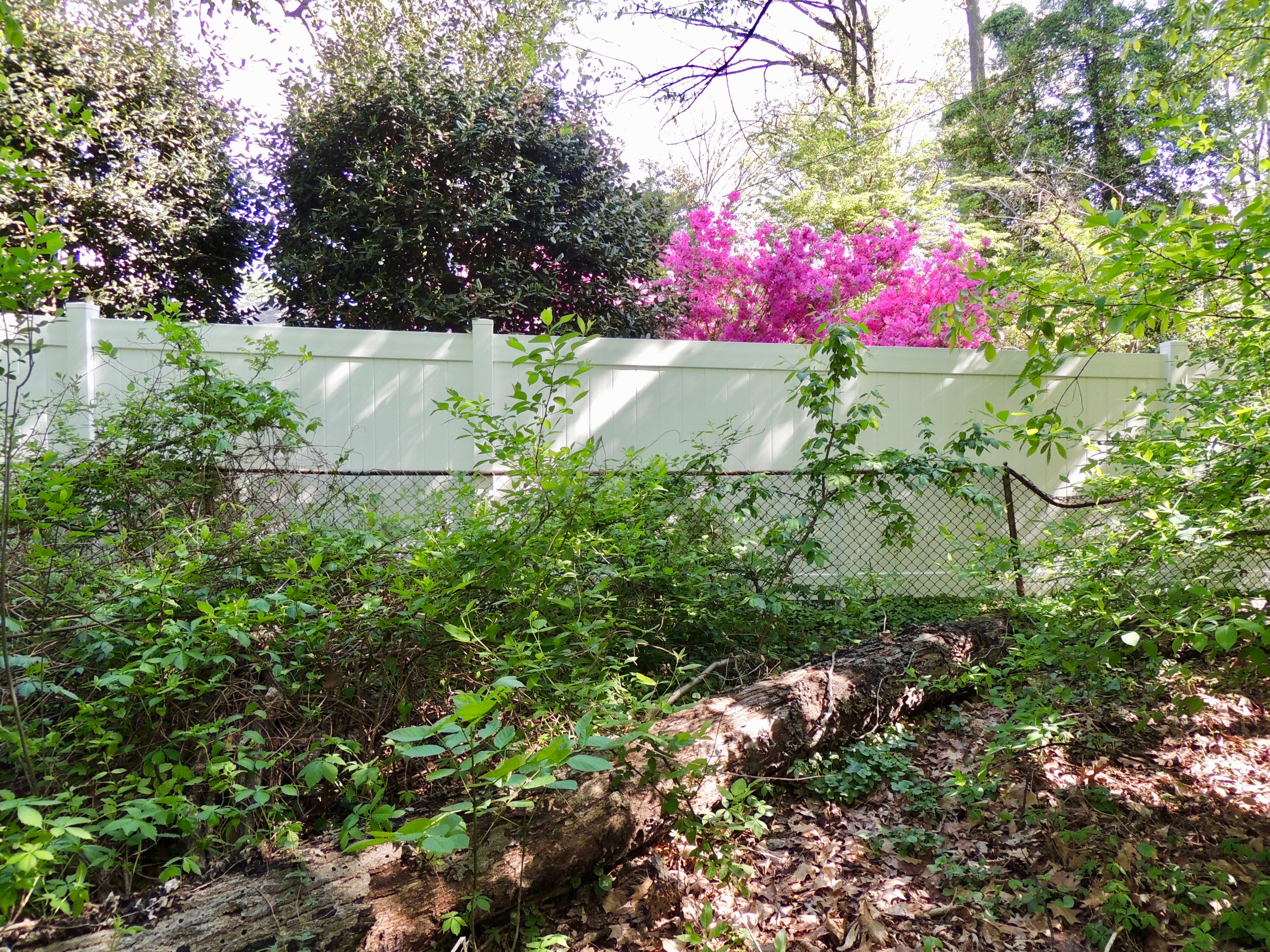
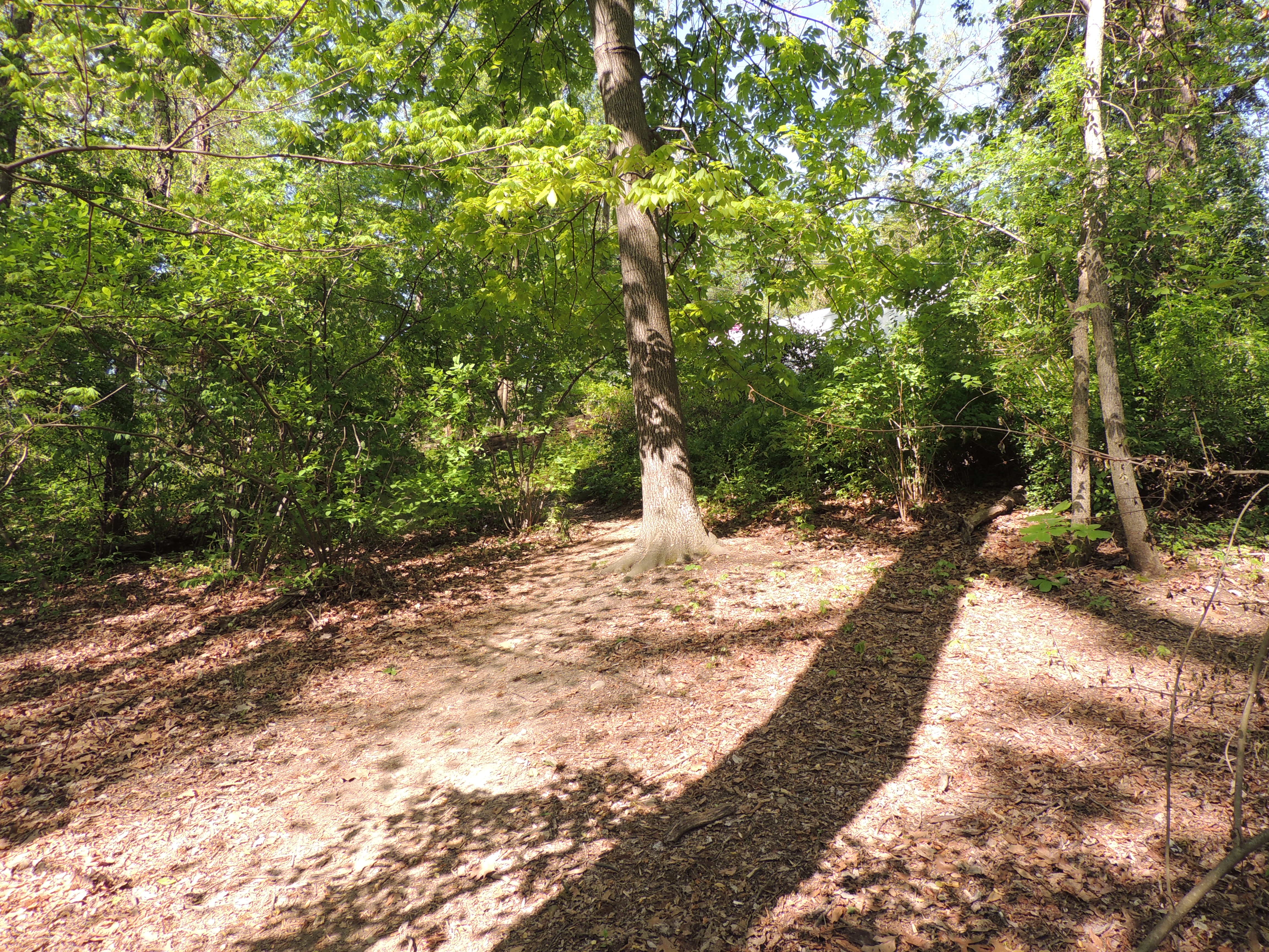
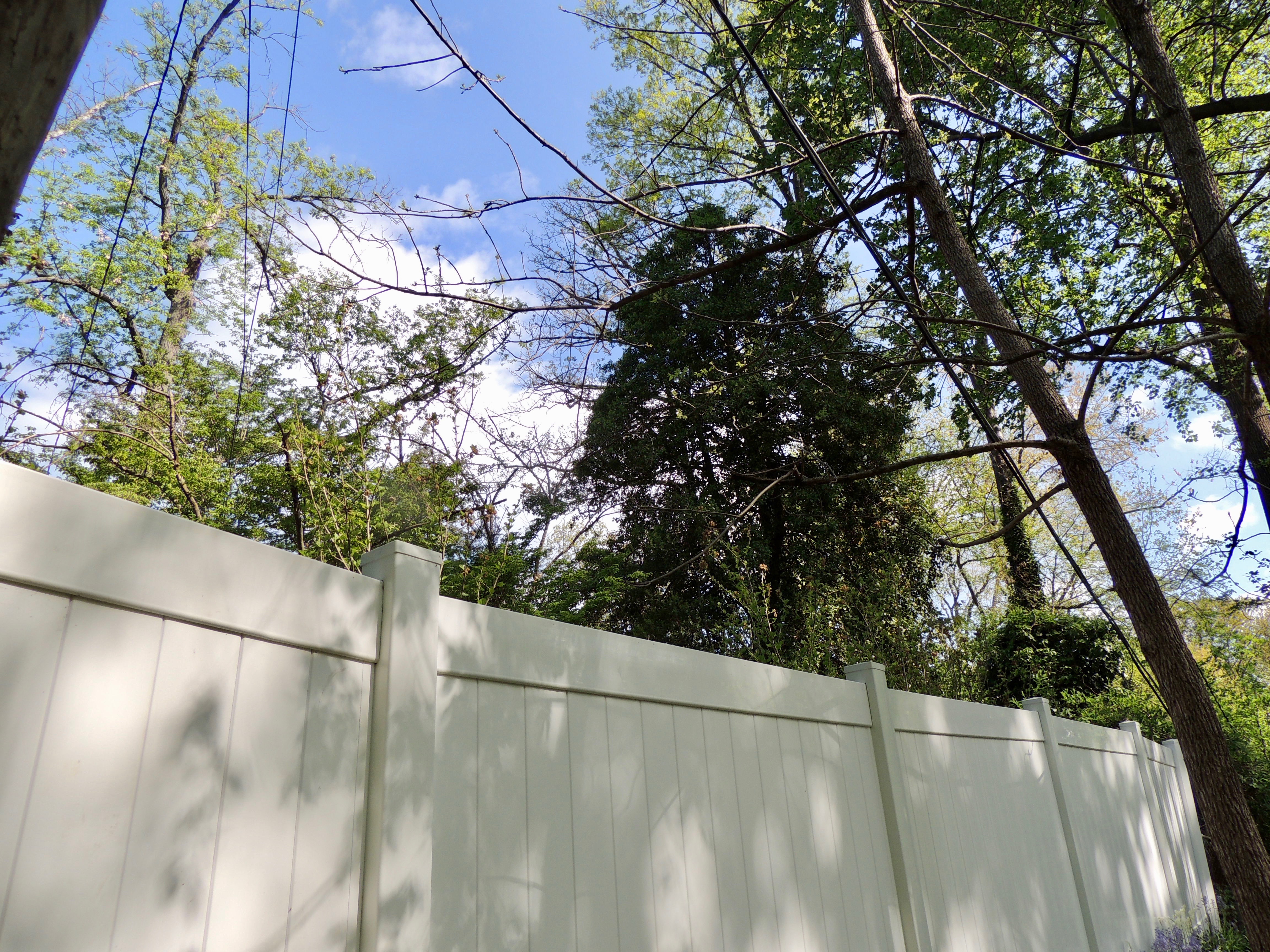
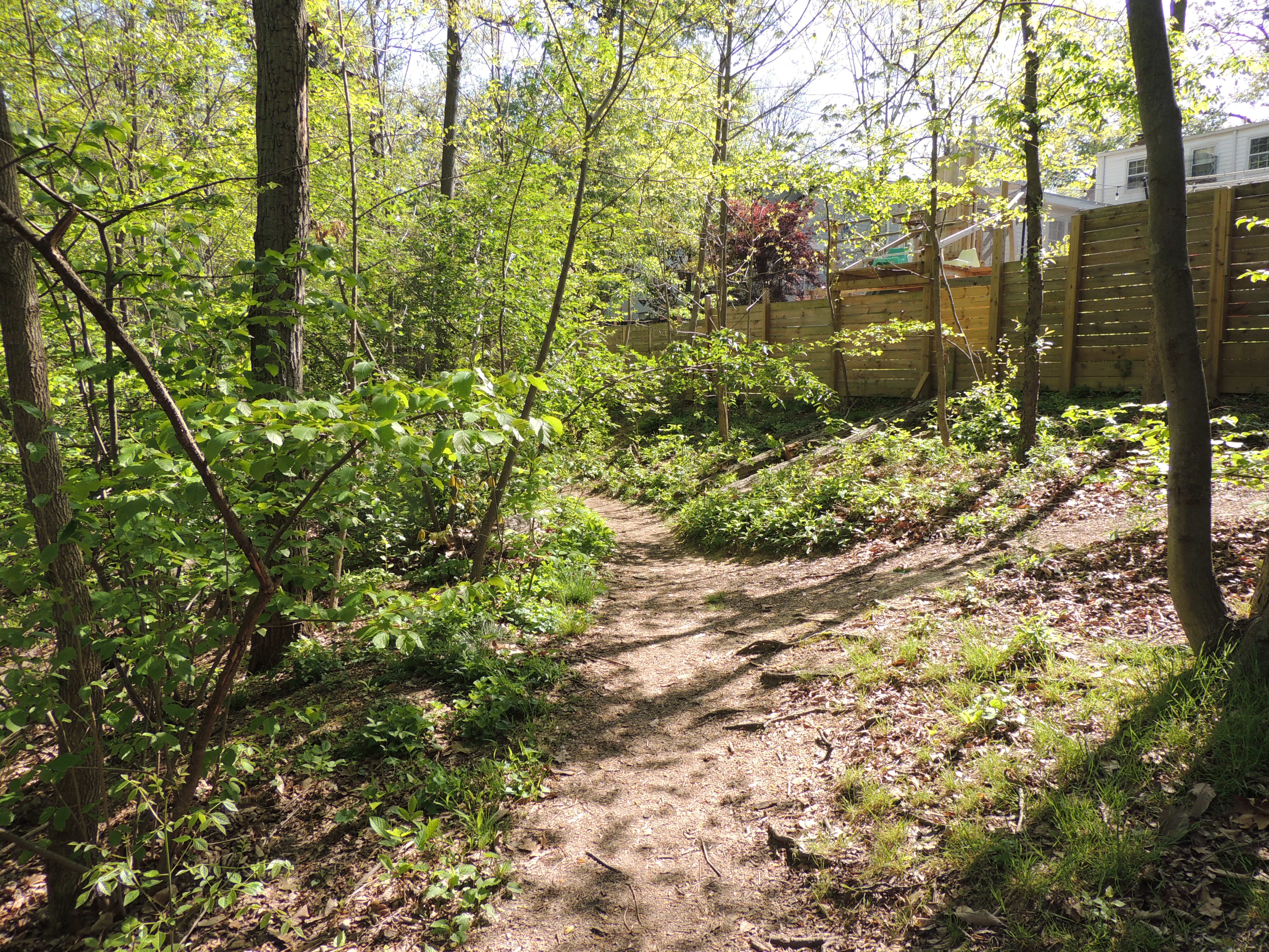
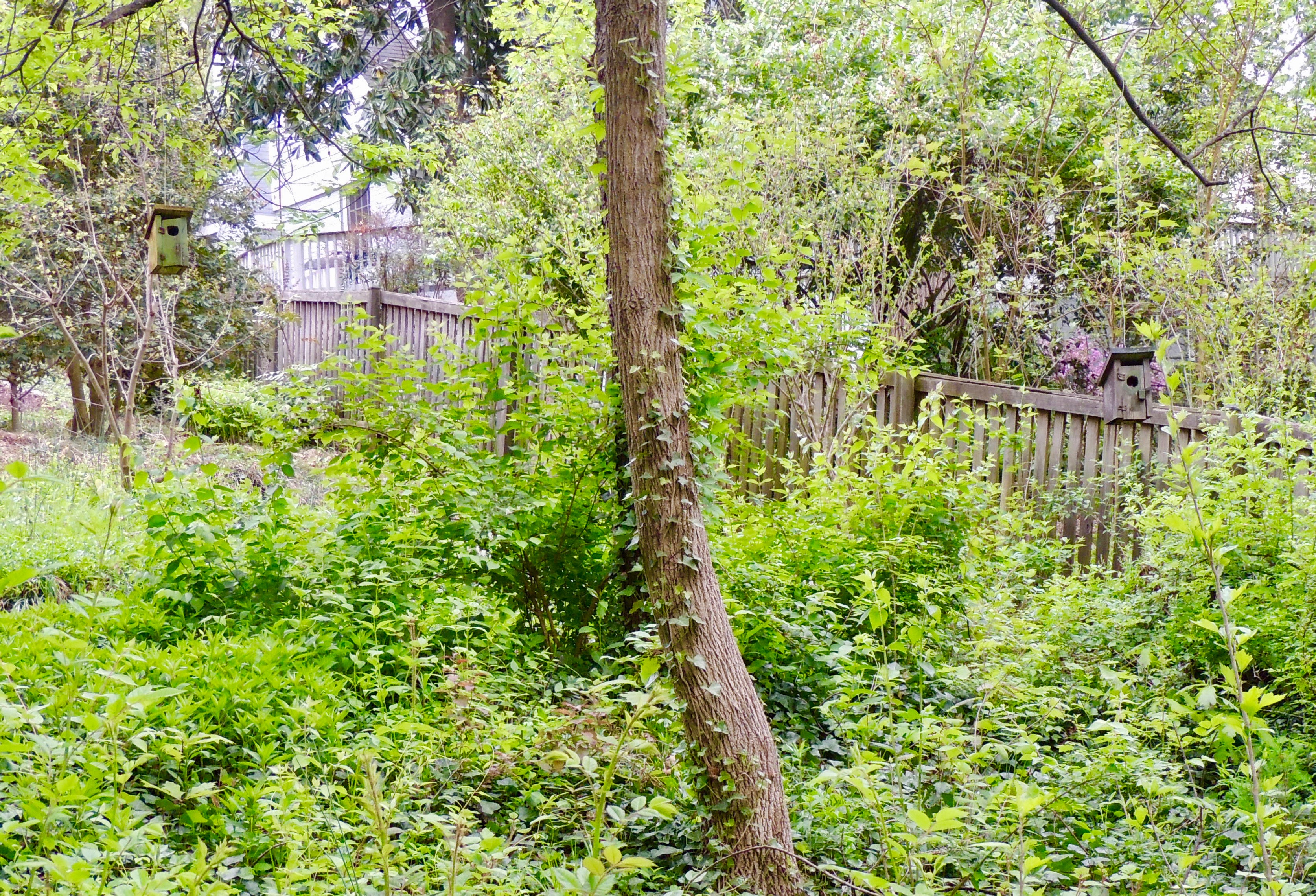
When you go through the opening in the downed tree, to your right will be a house with a white fence around it. It is called the "Azalea House" on the map, because you can see azaleas in bloom behind the fence during some parts of the spring.
Some of the surrounding trees near the Azalea House can have a lot of bird activity. Also, because this area is much higher than the stream, seeing birds in the tops of the trees is much easier on the neck than trying to see them from the stream paths. During sunny spring mornings, it is best to wait until the sun is high enough so that you will not be looking directly into it.
Past the white fence, the Knoll Path snakes around toward an intersection in the southwest corner of the park.
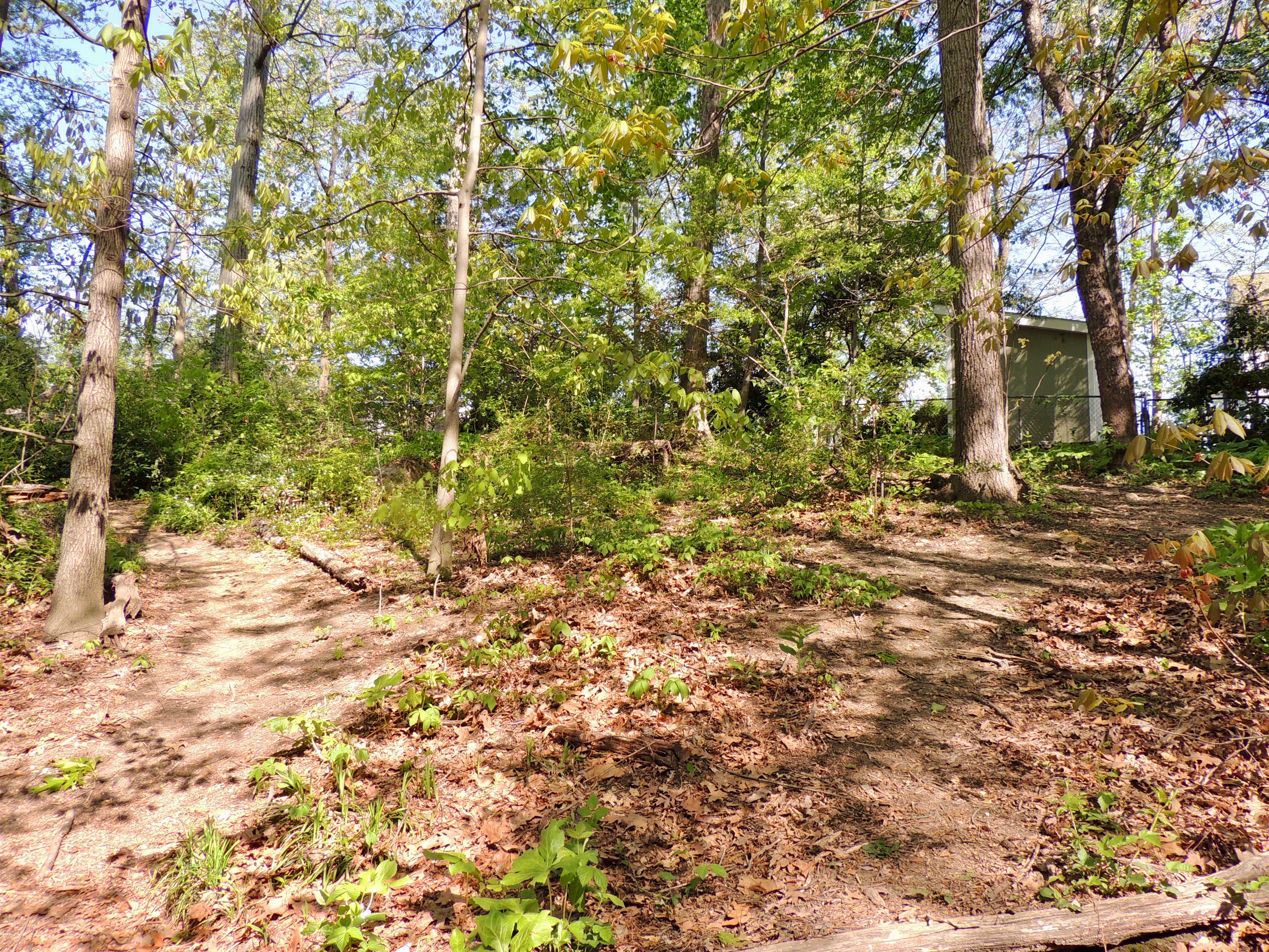
To the right is a small area with trees that can contain a lot of birds.
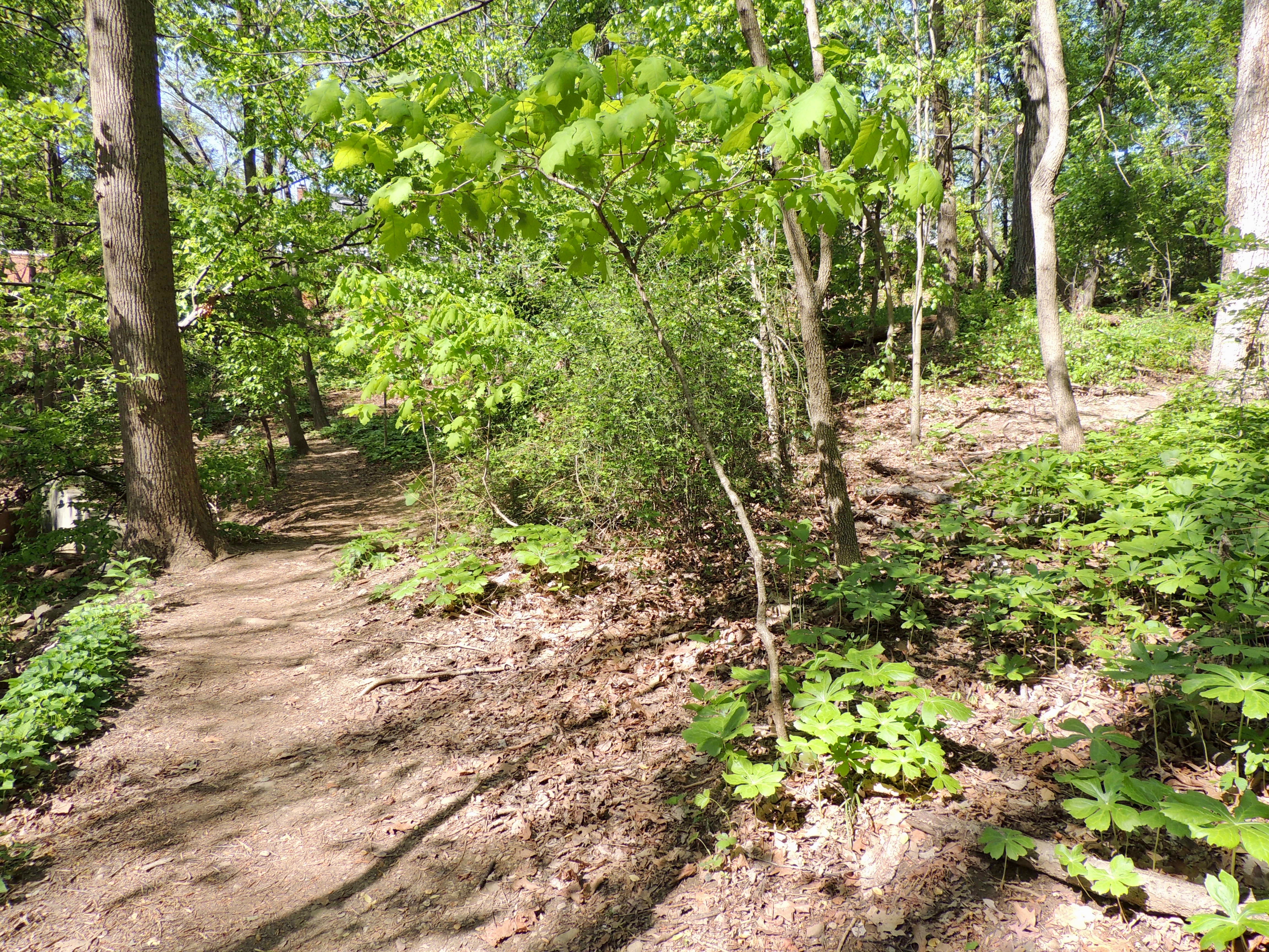
To the left is the continuation of the Knoll Path which leads down a hill back to the West Stream Path. The south end of the Knoll Path is about 80 yards from the north end where you began to walk up the hill, and it is about 60 yards before the culvert at the south end of the park.
Ridge Path
The slope on the east side of the park is called the Ridge. Because thrushes like the area, it became known as "Thrush Ridge," which was later shortened to "the Ridge."
The path on the Ridge has two points of entry. One is at the south end of the park near the entrance on Old Dominion Boulevard. If you enter the park here, the East Stream Path is on the left side of the fork, and the Ridge Path is up an incline to the right.
The south portion of the Ridge Path leads to the backs of houses adjacent to the park.
You will soon come to an area where the path forks. The part to the left leads down to the East Stream Path near midstream. The part to the right is a continuation of the Ridge Path leading to the northeast corner of the park. This spot can be very good for seeing birds. As with the Knoll Path, the Ridge Path is considerably higher than the paths next to the stream, allowing you to more easily see into the treetops. Early on spring mornings, the sun will be at your back.
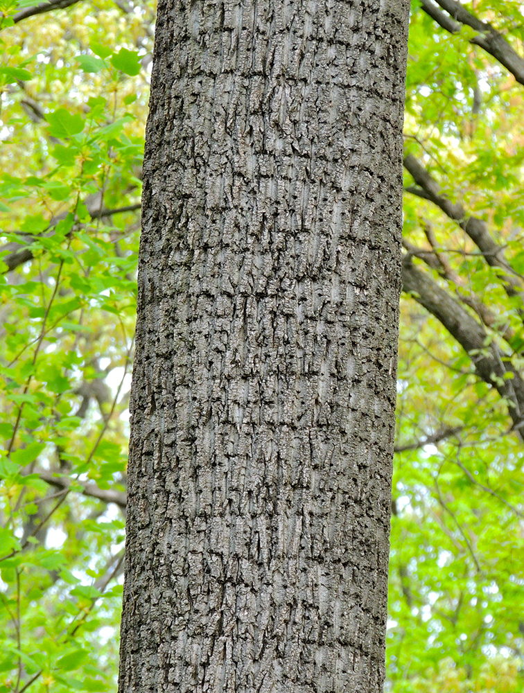
If you look from this spot in the direction of the stream, you will see a Tulip Poplar whose trunk is full of sapsucker holes.
If you walk north from the fork, you will come to a yard containing multiple nest houses for Northern House Wrens (the "Wren Box House" on the map). Each spring, the wrens nest in these houses and sing loudly to defend their territories.
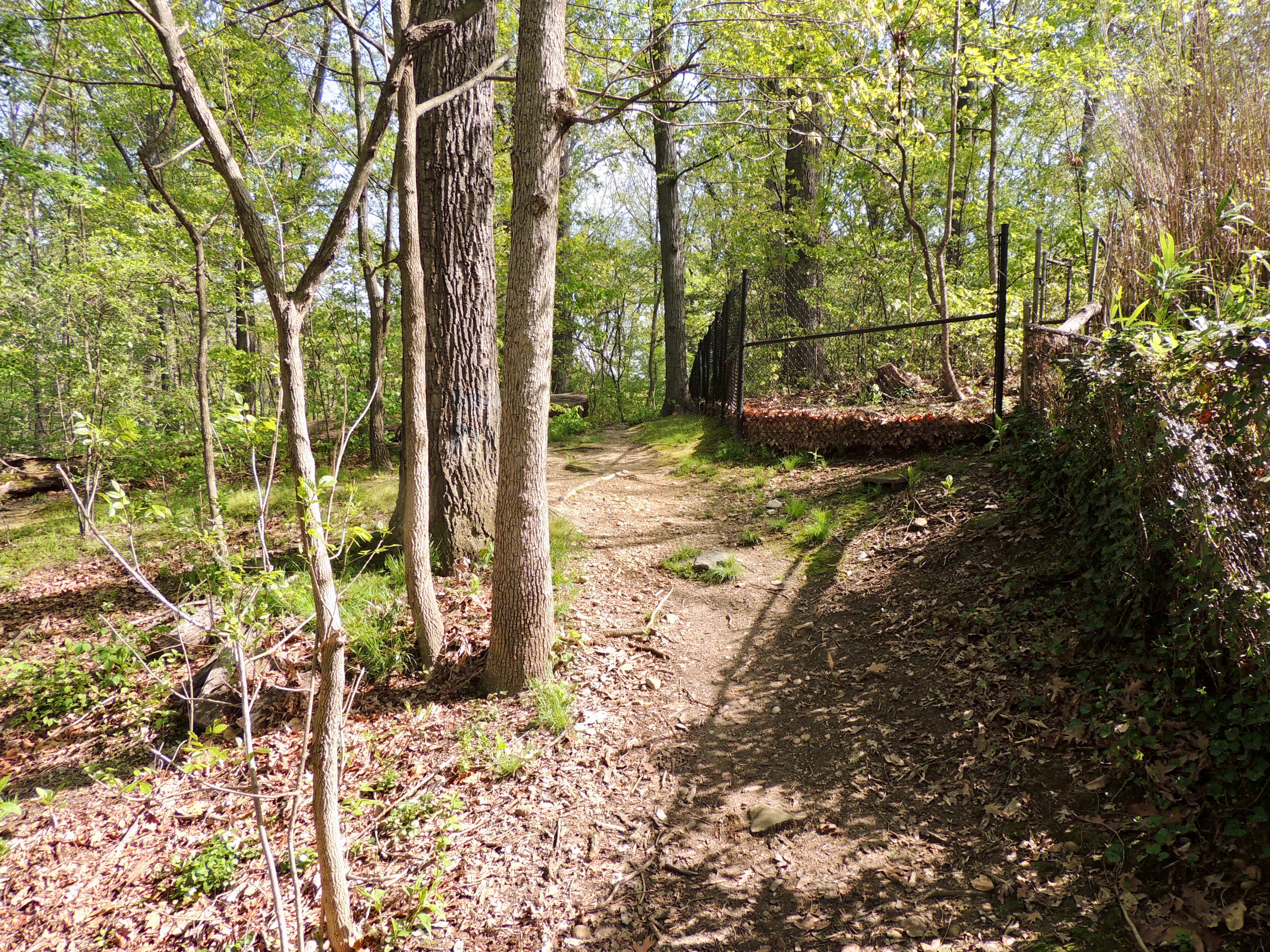
A little farther along the path is the beginning of a long fence that forms the boundary between the park and the former Kust property. Behind the fence is private property and not part of Monticello Park.
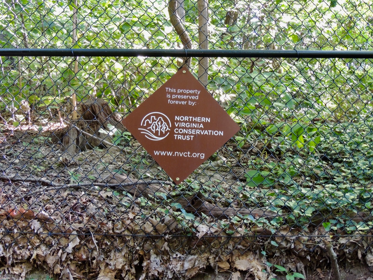
At each end of the fence is a sign from the Northern Virginia Conservation Trust about an easement on the former Kust property which preserves it in perpetuity from development.
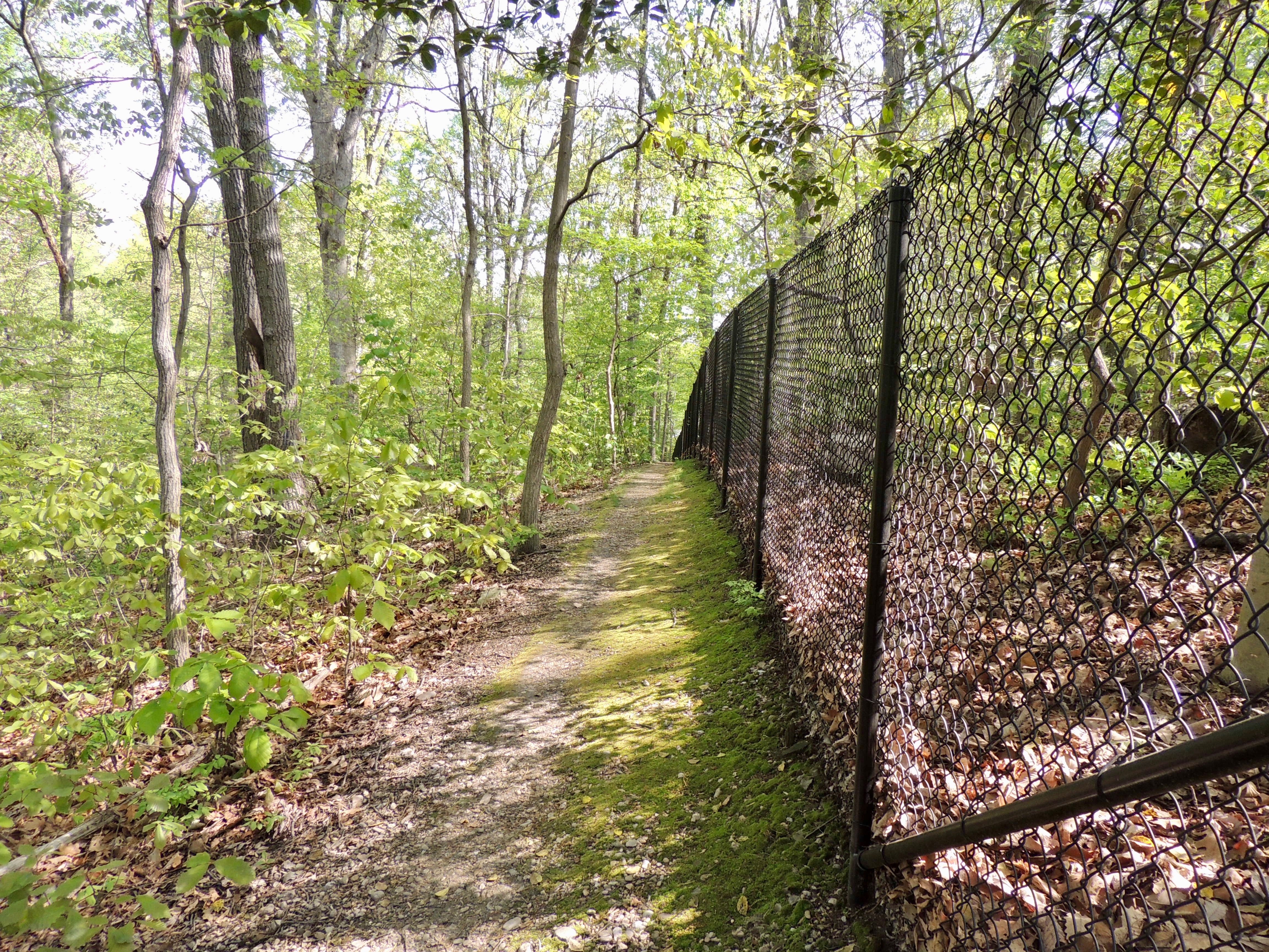
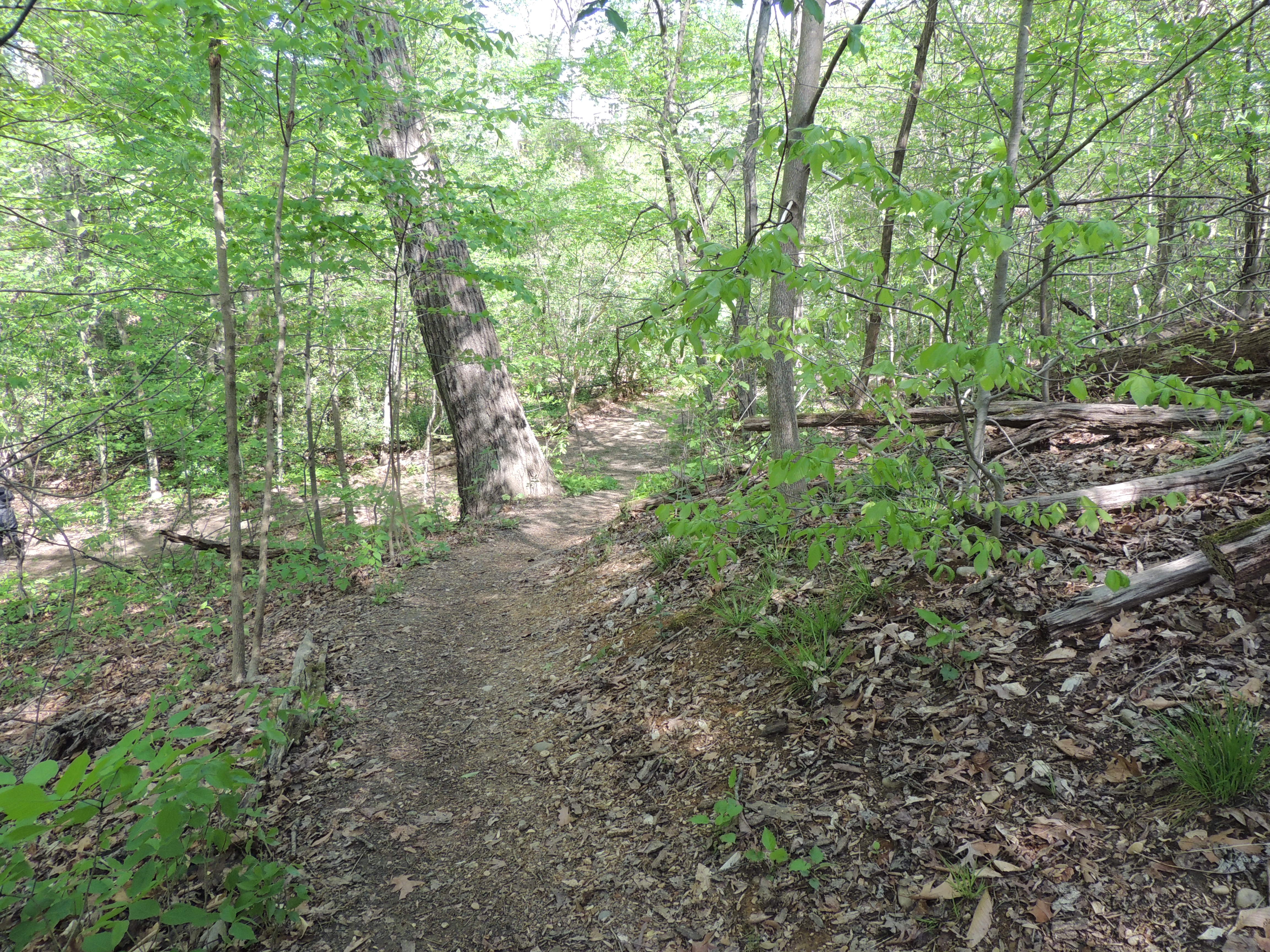
Along this path are Mountain Laurels and Pinxter Azaleas. The entire length of the Ridge Path is especially good for finding thrushes and other ground-feeding bird species.
Going north, the path ends near the Beverley Boulevard entrance to the park. There is no path here leading down to the stream. One option is to retrace your steps and walk back toward the middle of the park.
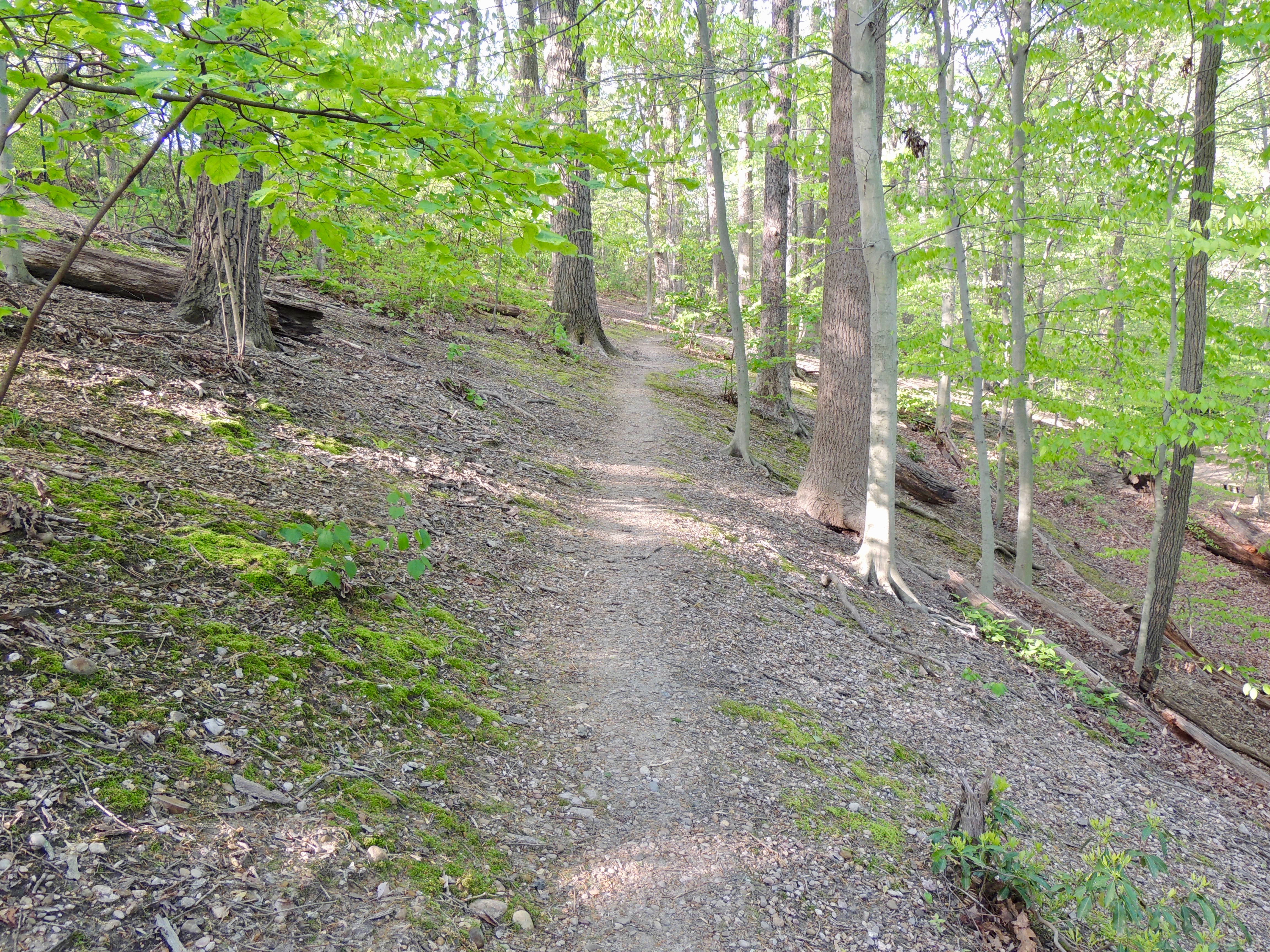
Another option is to walk back along a lower path that runs parallel to the path along the fence line. Be very careful if you choose the lower path. There are a lot of loose pebbles, and the footing can be treacherous.

At the next fork, the portion to the left goes up toward the fence line, and the portion to the right goes down toward the stream.
If you take the right fork, you will continue down the hill, through an opening in a tree that fell across the path.
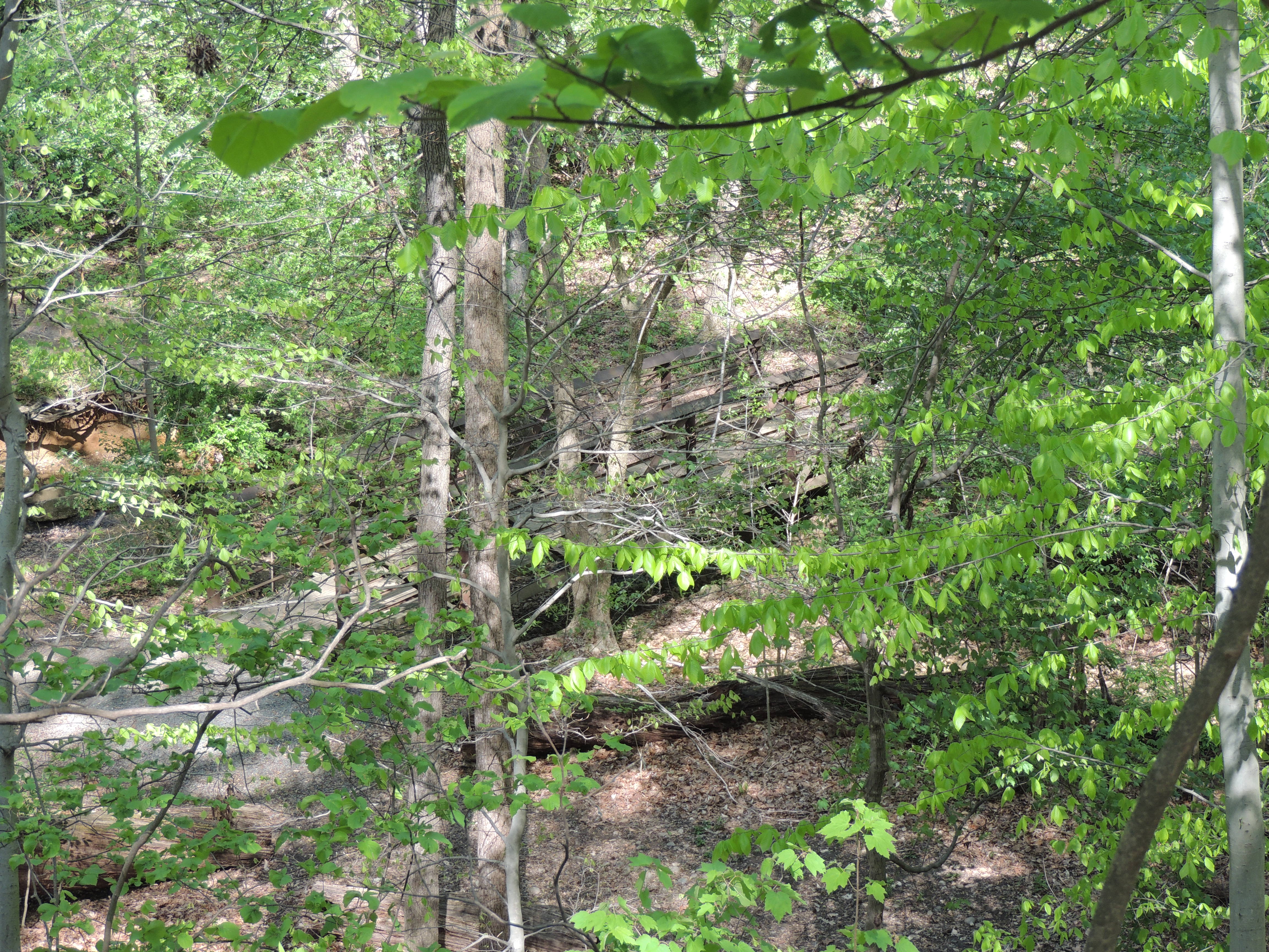
Further down this path are the remains of trees that fell during the Derecho in 2012.
The next fork is at a junction with the path that leads from the East Stream Path to top of the ridge. If you turn left, you can walk up the hill toward the spot where you can see the Tulip Poplar with the sapsucker holes.
If you turn right after the fallen tree, you will continue a short distance down the hill to the East Stream Path near midstream. Many people prefer to go to the Ridge by way of this path rather than entering from the south end of the park.
Small Paths
Monticello Park has a few small paths in addition to the main paths. Some of these paths are very narrow and not maintained. They can be treacherous to walk on.
One narrow path is near the bridge and leads up the hill from the West Stream Path. At the top of the hill are the backyards of houses on Beverley Drive.
A bit farther along at the stump on the West Stream Path at midstream is another path that leads up the hill. This path also leads to the backyards of houses along Beverley Drive. On this path, you sometimes can have a better view of birds seen from the West Stream Path.
Surrounding Neighborhood
Birds seen within Monticello Park also stray into the surrounding neighborhood. Keep your eyes and ears open on the streets near the park.
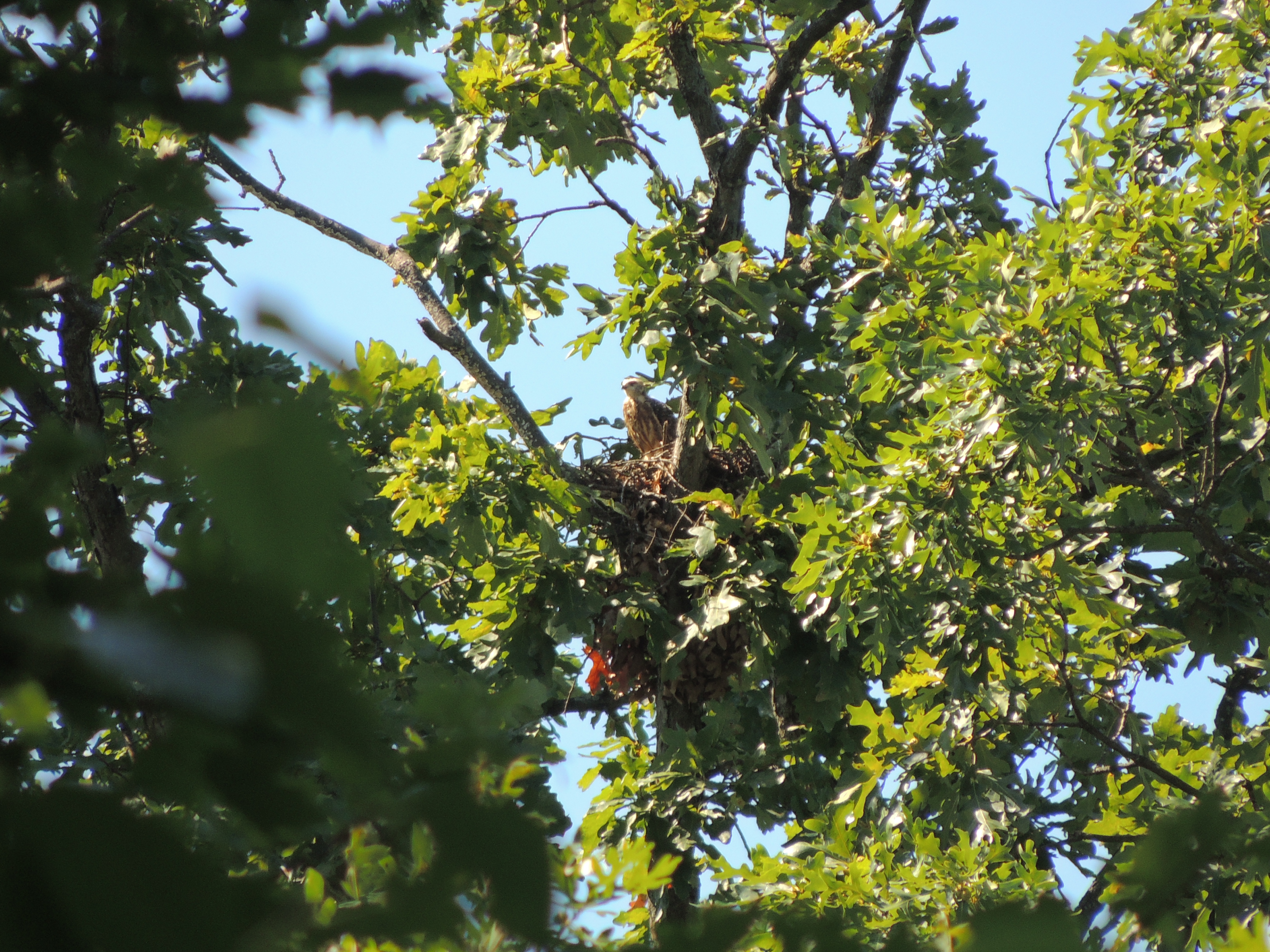
In a tree on Beverley Drive just outside the northwest corner of the park, a pair of Mississippi Kites nested in 2017.
Additional Information
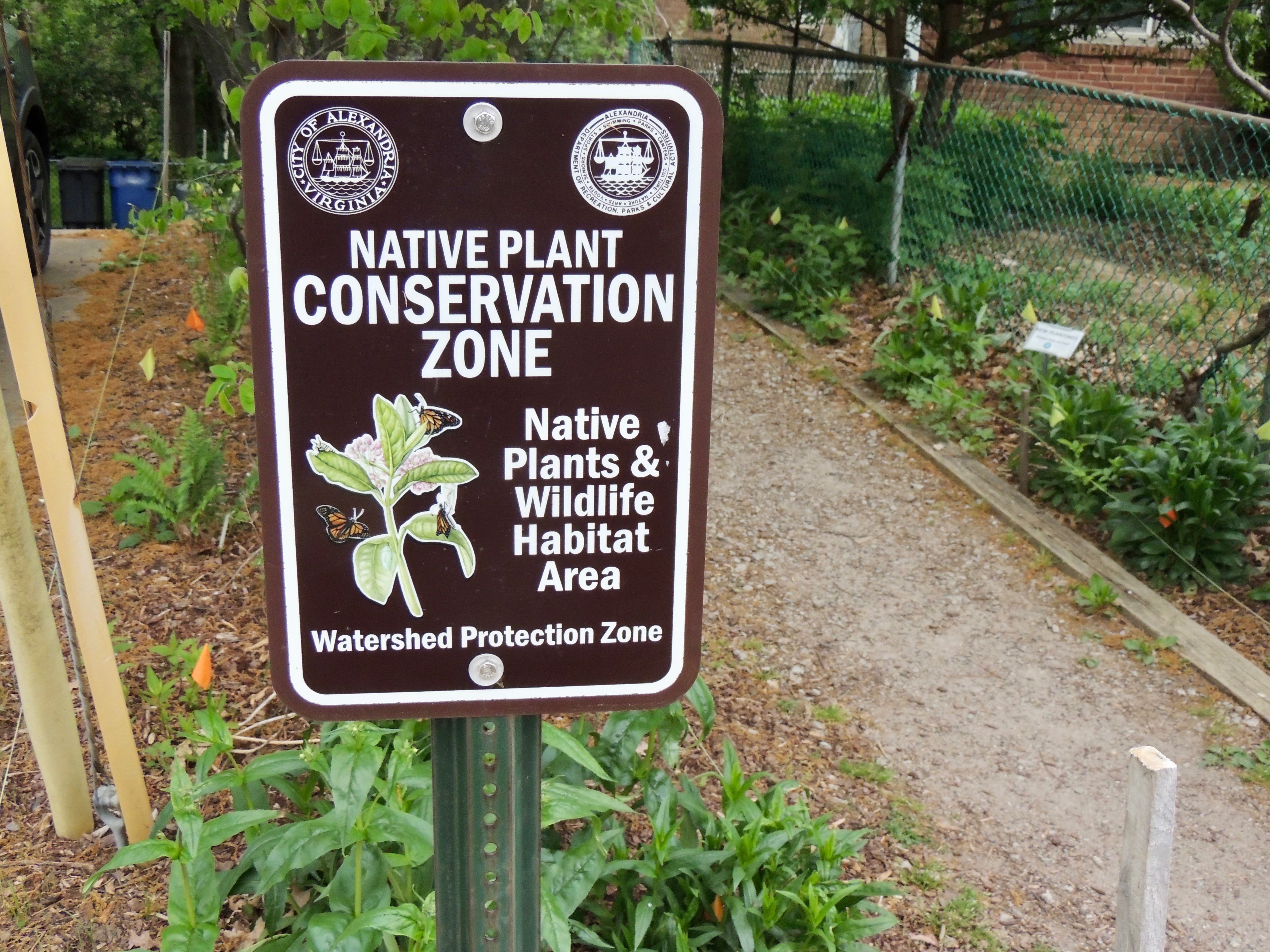
If you are allergic to poison ivy, take proper precautions if you visit Monticello Park. Please stay on the main paths, and do not walk through vegetation.
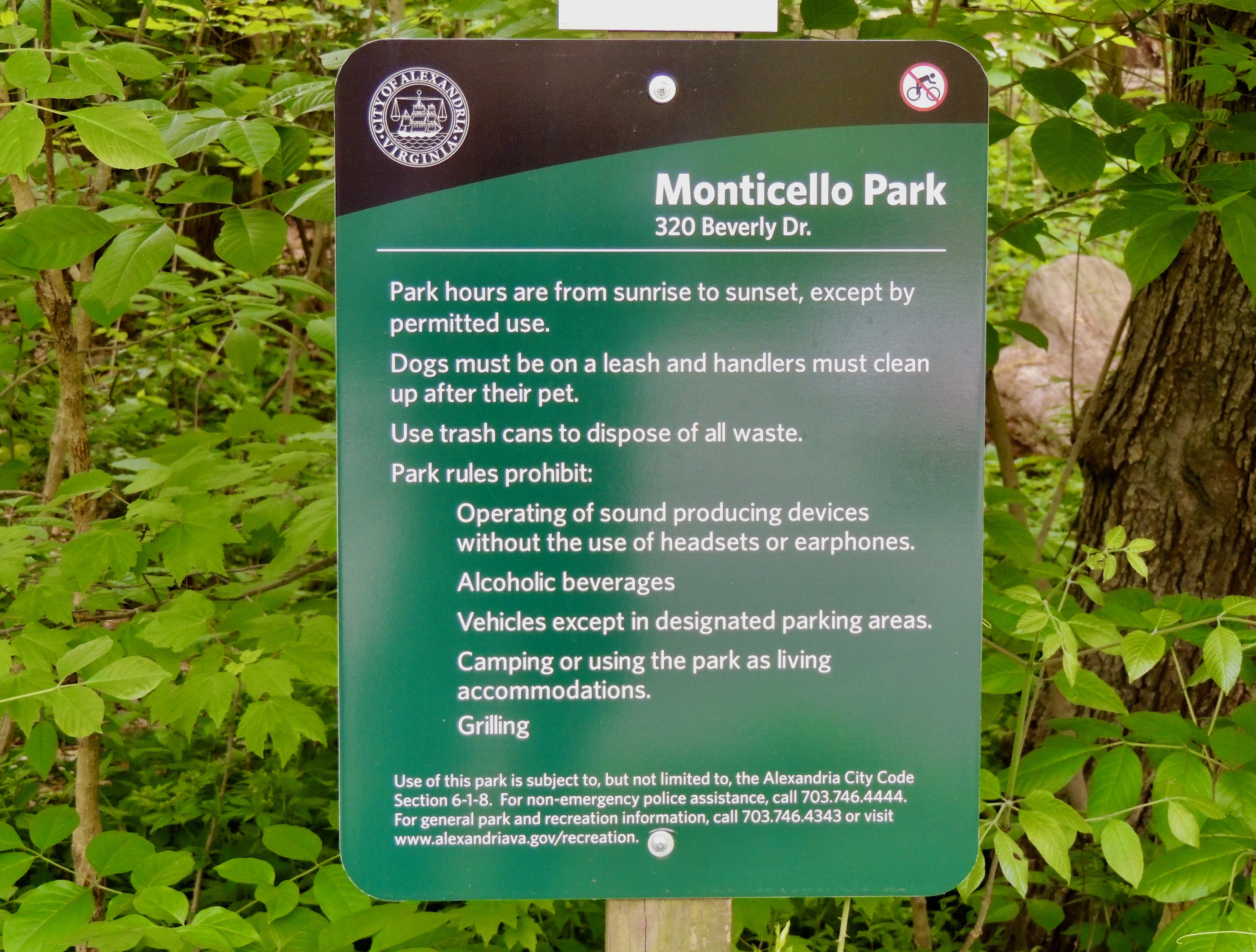
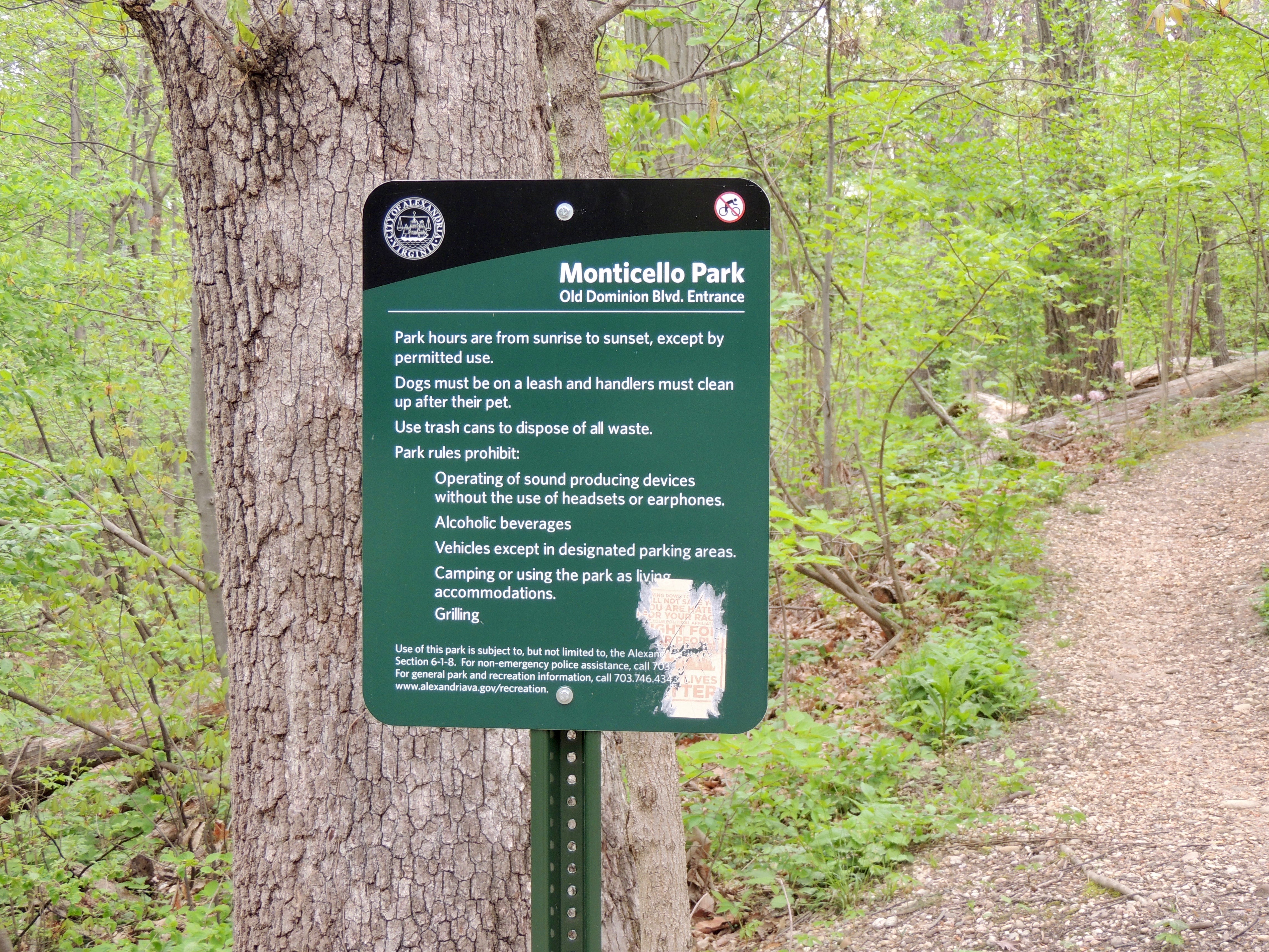
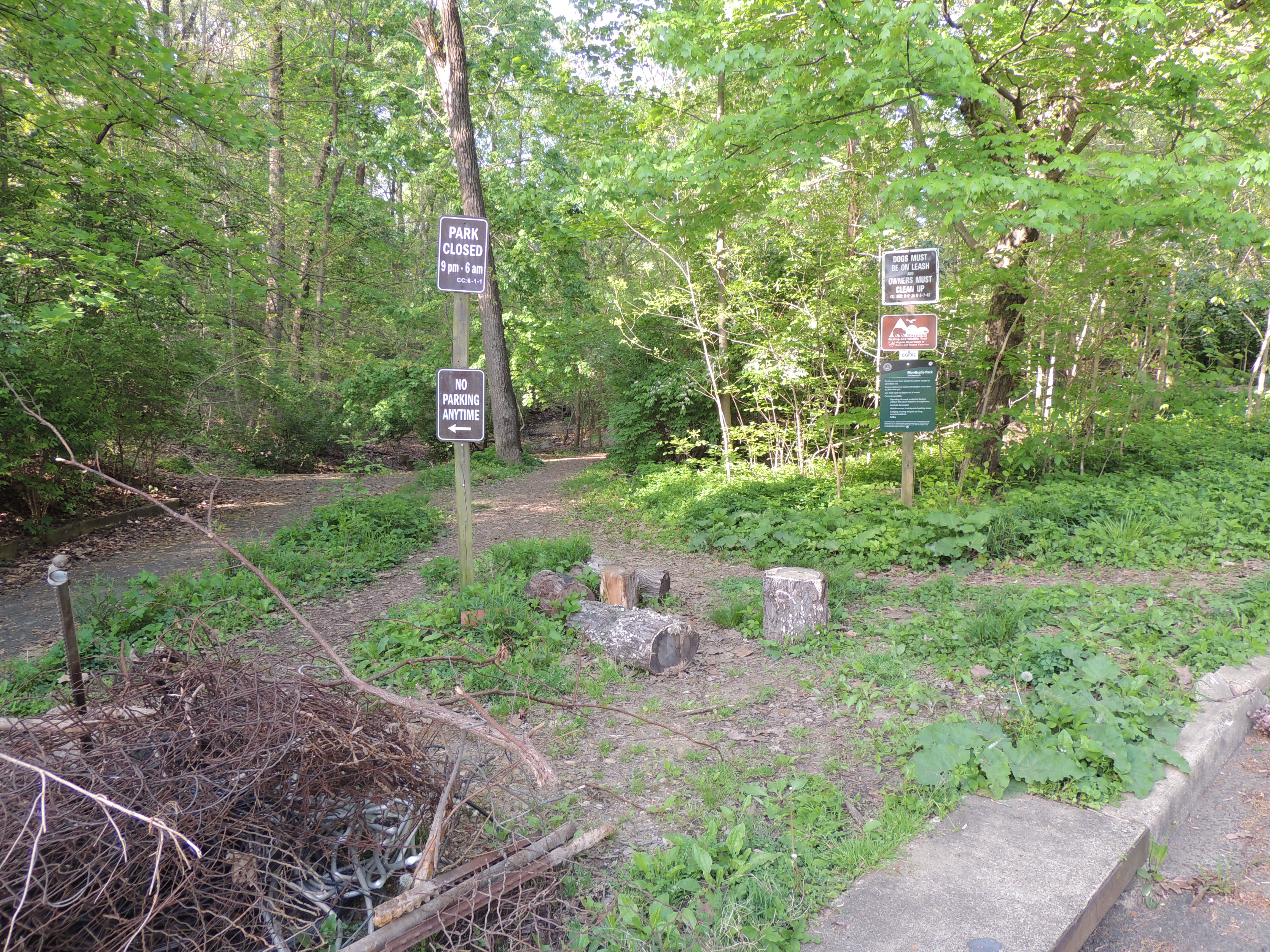
The Department of Recreation, Parks, and Cultural Activities of the City of Alexandria has posted a sign with the rules for the park.
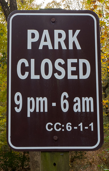
Another sign shows the park hours.
The Maps page has an interactive Google map to get driving directions to Monticello Park as well as information about how to reach the park by public transportation.